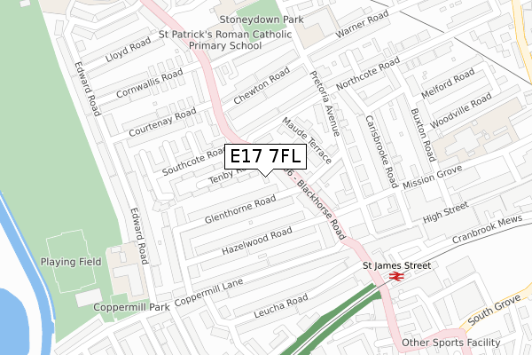
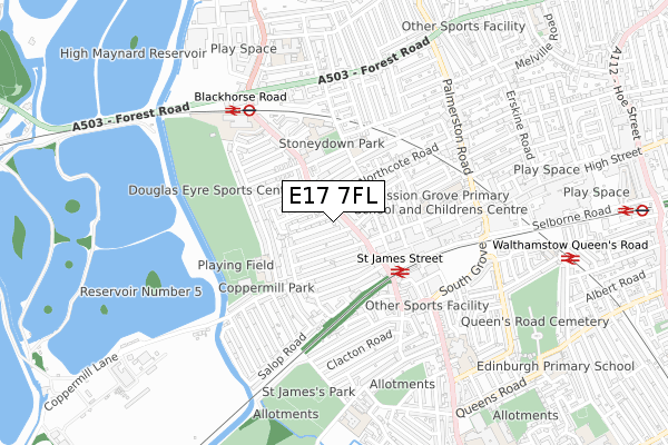
E17 7FL is located in the St James electoral ward, within the London borough of Waltham Forest and the English Parliamentary constituency of Walthamstow. The Sub Integrated Care Board (ICB) Location is NHS North East London ICB - A3A8R and the police force is Metropolitan Police. This postcode has been in use since February 2019.


GetTheData
Source: OS Open Zoomstack (Ordnance Survey)
Licence: Open Government Licence (requires attribution)
Attribution: Contains OS data © Crown copyright and database right 2025
Source: Open Postcode Geo
Licence: Open Government Licence (requires attribution)
Attribution: Contains OS data © Crown copyright and database right 2025; Contains Royal Mail data © Royal Mail copyright and database right 2025; Source: Office for National Statistics licensed under the Open Government Licence v.3.0
| Easting | 536165 |
| Northing | 188928 |
| Latitude | 51.582770 |
| Longitude | -0.036106 |
GetTheData
Source: Open Postcode Geo
Licence: Open Government Licence
| Country | England |
| Postcode District | E17 |
➜ See where E17 is on a map ➜ Where is Walthamstow? | |
GetTheData
Source: Land Registry Price Paid Data
Licence: Open Government Licence
| Ward | St James |
| Constituency | Walthamstow |
GetTheData
Source: ONS Postcode Database
Licence: Open Government Licence
| Hazelwood Road (Blackhorse Road) | Walthamstow | 103m |
| Walthamstow Market (Blackhorse Road) | Walthamstow | 166m |
| Longfield Avenue Walthamstow (Blackhorse Road) | Blackhorse Road | 194m |
| Carisbrooke Road (Mission Grove) | Walthamstow | 204m |
| Longfield Avenue Walthamstow (Blackhorse Road) | Blackhorse Road | 233m |
| Blackhorse Road Underground Station | Blackhorse Road | 578m |
| Walthamstow Central Underground Station | Walthamstow Central | 1,126m |
| St James Street (London) Station | 0.3km |
| Blackhorse Road Station | 0.6km |
| Walthamstow Queens Road Station | 0.9km |
GetTheData
Source: NaPTAN
Licence: Open Government Licence
| Percentage of properties with Next Generation Access | 100.0% |
| Percentage of properties with Superfast Broadband | 100.0% |
| Percentage of properties with Ultrafast Broadband | 0.0% |
| Percentage of properties with Full Fibre Broadband | 0.0% |
Superfast Broadband is between 30Mbps and 300Mbps
Ultrafast Broadband is > 300Mbps
| Percentage of properties unable to receive 2Mbps | 0.0% |
| Percentage of properties unable to receive 5Mbps | 0.0% |
| Percentage of properties unable to receive 10Mbps | 0.0% |
| Percentage of properties unable to receive 30Mbps | 0.0% |
GetTheData
Source: Ofcom
Licence: Ofcom Terms of Use (requires attribution)
GetTheData
Source: ONS Postcode Database
Licence: Open Government Licence


➜ Get more ratings from the Food Standards Agency
GetTheData
Source: Food Standards Agency
Licence: FSA terms & conditions
| Last Collection | |||
|---|---|---|---|
| Location | Mon-Fri | Sat | Distance |
| Coppermill Lane | 17:30 | 11:30 | 191m |
| Northcote Road | 17:30 | 11:30 | 200m |
| Cornwallis Road | 17:30 | 11:30 | 251m |
GetTheData
Source: Dracos
Licence: Creative Commons Attribution-ShareAlike
The below table lists the International Territorial Level (ITL) codes (formerly Nomenclature of Territorial Units for Statistics (NUTS) codes) and Local Administrative Units (LAU) codes for E17 7FL:
| ITL 1 Code | Name |
|---|---|
| TLI | London |
| ITL 2 Code | Name |
| TLI5 | Outer London - East and North East |
| ITL 3 Code | Name |
| TLI53 | Redbridge and Waltham Forest |
| LAU 1 Code | Name |
| E09000031 | Waltham Forest |
GetTheData
Source: ONS Postcode Directory
Licence: Open Government Licence
The below table lists the Census Output Area (OA), Lower Layer Super Output Area (LSOA), and Middle Layer Super Output Area (MSOA) for E17 7FL:
| Code | Name | |
|---|---|---|
| OA | E00022083 | |
| LSOA | E01004391 | Waltham Forest 014A |
| MSOA | E02000908 | Waltham Forest 014 |
GetTheData
Source: ONS Postcode Directory
Licence: Open Government Licence
| E17 7AT | Tenby Road | 41m |
| E17 7AU | Tenby Road | 41m |
| E17 7AS | Blackhorse Road | 58m |
| E17 7BE | Blackhorse Road | 71m |
| E17 7AP | Glenthorne Road | 82m |
| E17 7AR | Glenthorne Road | 83m |
| E17 7DG | Maude Terrace | 91m |
| E17 7DH | Northcote Road | 103m |
| E17 7AJ | Hazelwood Road | 112m |
| E17 7AL | Hazelwood Road | 135m |
GetTheData
Source: Open Postcode Geo; Land Registry Price Paid Data
Licence: Open Government Licence