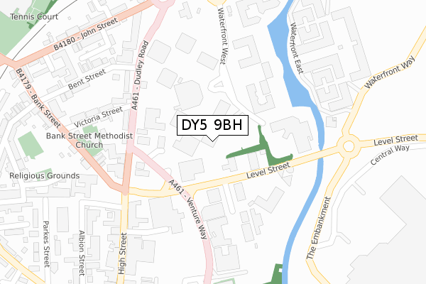
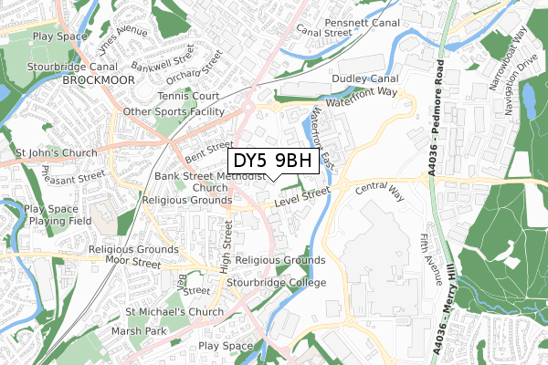
DY5 9BH is located in the Brierley Hill electoral ward, within the metropolitan district of Dudley and the English Parliamentary constituency of Dudley South. The Sub Integrated Care Board (ICB) Location is NHS Black Country ICB - D2P2L and the police force is West Midlands. This postcode has been in use since November 2017.


GetTheData
Source: OS Open Zoomstack (Ordnance Survey)
Licence: Open Government Licence (requires attribution)
Attribution: Contains OS data © Crown copyright and database right 2025
Source: Open Postcode Geo
Licence: Open Government Licence (requires attribution)
Attribution: Contains OS data © Crown copyright and database right 2025; Contains Royal Mail data © Royal Mail copyright and database right 2025; Source: Office for National Statistics licensed under the Open Government Licence v.3.0
| Easting | 392076 |
| Northing | 287438 |
| Latitude | 52.484817 |
| Longitude | -2.118109 |
GetTheData
Source: Open Postcode Geo
Licence: Open Government Licence
| Country | England |
| Postcode District | DY5 |
➜ See where DY5 is on a map ➜ Where is Brierley Hill? | |
GetTheData
Source: Land Registry Price Paid Data
Licence: Open Government Licence
| Ward | Brierley Hill |
| Constituency | Dudley South |
GetTheData
Source: ONS Postcode Database
Licence: Open Government Licence
| Old Bush St (Level St) | Brierley Hill | 105m |
| Bank St (Dudley Rd) | Brierley Hill | 193m |
| High St (Level St) | Brierley Hill | 199m |
| Bank St (Dudley Rd) | Brierley Hill | 216m |
| Greens Bridge (Level St) | Merry Hill | 252m |
| Cradley Heath Station | 2.5km |
| Lye (West Midlands) Station | 2.8km |
| Stourbridge Town Station | 3.6km |
GetTheData
Source: NaPTAN
Licence: Open Government Licence
GetTheData
Source: ONS Postcode Database
Licence: Open Government Licence


➜ Get more ratings from the Food Standards Agency
GetTheData
Source: Food Standards Agency
Licence: FSA terms & conditions
| Last Collection | |||
|---|---|---|---|
| Location | Mon-Fri | Sat | Distance |
| Waterfront | 19:00 | 11:00 | 312m |
| Round Oak | 17:30 | 11:00 | 319m |
| Merry Hill 3 | 17:30 | 12:00 | 506m |
GetTheData
Source: Dracos
Licence: Creative Commons Attribution-ShareAlike
The below table lists the International Territorial Level (ITL) codes (formerly Nomenclature of Territorial Units for Statistics (NUTS) codes) and Local Administrative Units (LAU) codes for DY5 9BH:
| ITL 1 Code | Name |
|---|---|
| TLG | West Midlands (England) |
| ITL 2 Code | Name |
| TLG3 | West Midlands |
| ITL 3 Code | Name |
| TLG36 | Dudley |
| LAU 1 Code | Name |
| E08000027 | Dudley |
GetTheData
Source: ONS Postcode Directory
Licence: Open Government Licence
The below table lists the Census Output Area (OA), Lower Layer Super Output Area (LSOA), and Middle Layer Super Output Area (MSOA) for DY5 9BH:
| Code | Name | |
|---|---|---|
| OA | E00049360 | |
| LSOA | E01009746 | Dudley 022C |
| MSOA | E02002021 | Dudley 022 |
GetTheData
Source: ONS Postcode Directory
Licence: Open Government Licence
| DY5 1UA | Level Street | 140m |
| DY5 1LH | Dudley Road | 164m |
| DY5 1HA | Dudley Road | 238m |
| DY5 1HB | Dudley Road | 242m |
| DY5 3BP | High Street | 256m |
| DY5 1RD | Victoria Street | 284m |
| DY5 3BU | High Street | 305m |
| DY5 3DA | Bank Street | 309m |
| DY5 1HY | Little John Street | 319m |
| DY5 1HD | Dudley Road | 320m |
GetTheData
Source: Open Postcode Geo; Land Registry Price Paid Data
Licence: Open Government Licence