Property/Postcode Data Search:
DY1 4RL maps, stats, and open data
DY1 4RL is located in the Castle and Priory electoral ward, within the metropolitan district of Dudley and the English Parliamentary constituency of Dudley North. The Sub Integrated Care Board (ICB) Location is NHS Black Country ICB - D2P2L and the police force is West Midlands. This postcode has been in use since September 2017.
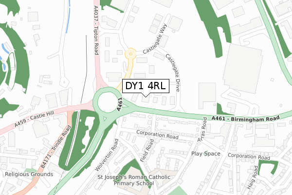
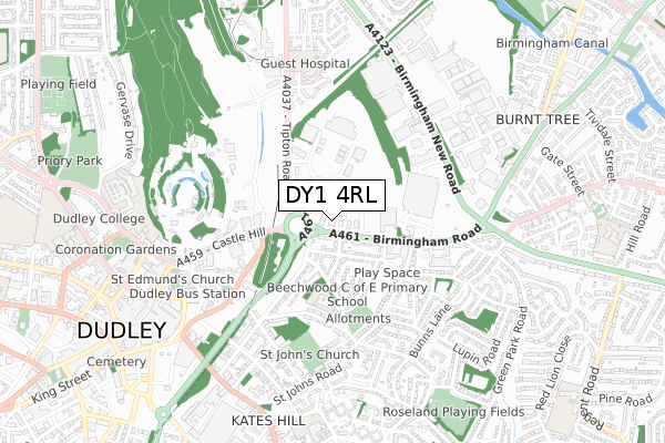
DY1 4RL maps


Source: OS Open Zoomstack (Ordnance Survey)
Licence: Open Government Licence (requires attribution)
Attribution: Contains OS data © Crown copyright and database right 2025
Source: Open Postcode Geo
Licence: Open Government Licence (requires attribution)
Attribution: Contains OS data © Crown copyright and database right 2025; Contains Royal Mail data © Royal Mail copyright and database right 2025; Source: Office for National Statistics licensed under the Open Government Licence v.3.0
Licence: Open Government Licence (requires attribution)
Attribution: Contains OS data © Crown copyright and database right 2025
Source: Open Postcode Geo
Licence: Open Government Licence (requires attribution)
Attribution: Contains OS data © Crown copyright and database right 2025; Contains Royal Mail data © Royal Mail copyright and database right 2025; Source: Office for National Statistics licensed under the Open Government Licence v.3.0
DY1 4RL geodata
| Easting | 395279 |
| Northing | 290639 |
| Latitude | 52.513632 |
| Longitude | -2.070990 |
Where is DY1 4RL?
| Country | England |
| Postcode District | DY1 |
Politics
| Ward | Castle And Priory |
|---|---|
| Constituency | Dudley North |
Transport
Nearest bus stops to DY1 4RL
| Castle Gate (Birmingham Rd) | Burnt Tree | 25m |
| Castle Gate (Birmingham Rd) | Burnt Tree | 74m |
| Arras Rd (Birmingham Rd) | Burnt Tree | 199m |
| Arras Rd (Birmingham Rd) | Burnt Tree | 204m |
| Castle Gate (Tipton Rd) | Dudley | 219m |
Nearest railway stations to DY1 4RL
| Tipton Station | 1.9km |
| Dudley Port Station | 1.9km |
| Coseley Station | 3.6km |
Deprivation
84.8% of English postcodes are less deprived than DY1 4RL:Food Standards Agency
Three nearest food hygiene ratings to DY1 4RL (metres)
Bella Italia Dudley

Castlegate Park De Vere Village
60m
Premier Inn

Castlegate Way
72m
Burger King

Castlegate Drive
153m
➜ Get more ratings from the Food Standards Agency
Nearest post box to DY1 4RL
| Last Collection | |||
|---|---|---|---|
| Location | Mon-Fri | Sat | Distance |
| Highfield Road | 17:30 | 11:00 | 449m |
| Hall Street | 17:30 | 11:00 | 739m |
| High Street | 18:30 | 11:00 | 753m |
DY1 4RL ITL and DY1 4RL LAU
The below table lists the International Territorial Level (ITL) codes (formerly Nomenclature of Territorial Units for Statistics (NUTS) codes) and Local Administrative Units (LAU) codes for DY1 4RL:
| ITL 1 Code | Name |
|---|---|
| TLG | West Midlands (England) |
| ITL 2 Code | Name |
| TLG3 | West Midlands |
| ITL 3 Code | Name |
| TLG36 | Dudley |
| LAU 1 Code | Name |
| E08000027 | Dudley |
DY1 4RL census areas
The below table lists the Census Output Area (OA), Lower Layer Super Output Area (LSOA), and Middle Layer Super Output Area (MSOA) for DY1 4RL:
| Code | Name | |
|---|---|---|
| OA | E00049371 | |
| LSOA | E01009757 | Dudley 006C |
| MSOA | E02002005 | Dudley 006 |
Nearest postcodes to DY1 4RL
| DY1 4RB | Birmingham Road | 74m |
| DY2 7PT | Corporation Road | 106m |
| DY2 7PX | Corporation Road | 127m |
| DY2 7PU | Corporation Road | 138m |
| DY2 7PY | Corporation Road | 152m |
| DY2 7PR | Field Road | 160m |
| DY1 4RR | Castlegate Way | 170m |
| DY2 7PZ | Arras Road | 177m |
| DY2 7PN | Hillcrest Road | 179m |
| DY2 7PP | Tudor Terrace | 225m |