DT3 5FP maps, stats, and open data
- Home
- Postcode
- DT
- DT3
- DT3 5
DT3 5FP is located in the Upwey & Broadwey electoral ward, within the unitary authority of Dorset and the English Parliamentary constituency of South Dorset. The Sub Integrated Care Board (ICB) Location is NHS Dorset ICB - 11J and the police force is Dorset. This postcode has been in use since November 2017.
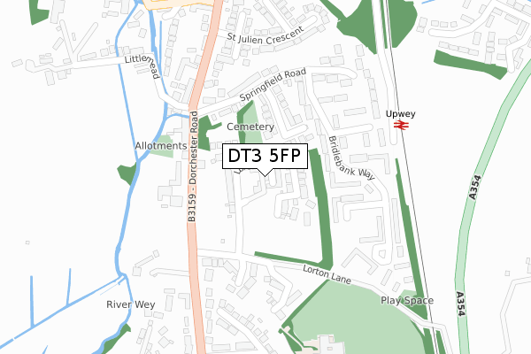
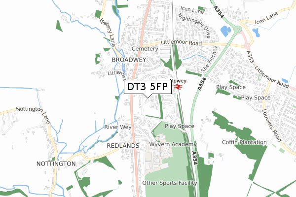
DT3 5FP maps


Source: OS Open Zoomstack (Ordnance Survey)
Licence: Open Government Licence (requires attribution)
Attribution: Contains OS data © Crown copyright and database right 2025
Source: Open Postcode GeoLicence: Open Government Licence (requires attribution)
Attribution: Contains OS data © Crown copyright and database right 2025; Contains Royal Mail data © Royal Mail copyright and database right 2025; Source: Office for National Statistics licensed under the Open Government Licence v.3.0
DT3 5FP geodata
| Easting | 366893 |
| Northing | 83182 |
| Latitude | 50.647364 |
| Longitude | -2.469620 |
Where is DT3 5FP?
| Country | England |
| Postcode District | DT3 |
Politics
| Ward | Upwey & Broadwey |
|---|
| Constituency | South Dorset |
|---|
Transport
Nearest bus stops to DT3 5FP
| Springfield Road | Broadwey | 157m |
| Springfield Road | Broadwey | 167m |
| Methodist Church | Broadwey | 202m |
| Methodist Church (Dorchester Road) | Broadwey | 248m |
| Blackberry Lane (Blackbury Lane) | Redlands | 276m |
Nearest railway stations to DT3 5FP
| Upwey Station | 0.3km |
| Weymouth Station | 3.7km |
Broadband
Broadband access in DT3 5FP (2020 data)
| Percentage of properties with Next Generation Access | 100.0% |
| Percentage of properties with Superfast Broadband | 100.0% |
| Percentage of properties with Ultrafast Broadband | 60.0% |
| Percentage of properties with Full Fibre Broadband | 60.0% |
Superfast Broadband is between 30Mbps and 300Mbps
Ultrafast Broadband is > 300Mbps
Broadband limitations in DT3 5FP (2020 data)
| Percentage of properties unable to receive 2Mbps | 0.0% |
| Percentage of properties unable to receive 5Mbps | 0.0% |
| Percentage of properties unable to receive 10Mbps | 0.0% |
| Percentage of properties unable to receive 30Mbps | 0.0% |
Deprivation
67.5% of English postcodes are less deprived than
DT3 5FP:
Food Standards Agency
Three nearest food hygiene ratings to DT3 5FP (metres)
Scallywags Childcare Centre Ltd
Scallywags Child Care Centre Wey Valley Campus Dorchester Road
479m
Wyvern School
Wyvern Academy Wey Valley Campus 436B Dorchester Road
501m
Wey Valley Academy
Wey Valley School Wey Valley Campus 436 Dorchester Road
501m
➜ Get more ratings from the Food Standards Agency
Nearest post box to DT3 5FP
| | Last Collection | |
|---|
| Location | Mon-Fri | Sat | Distance |
|---|
| Safeways | 17:00 | 12:00 | 1,584m |
| Buddleia Close | 17:00 | 09:00 | 1,817m |
| Bowleaze | 16:45 | 08:00 | 2,032m |
DT3 5FP ITL and DT3 5FP LAU
The below table lists the International Territorial Level (ITL) codes (formerly Nomenclature of Territorial Units for Statistics (NUTS) codes) and Local Administrative Units (LAU) codes for DT3 5FP:
| ITL 1 Code | Name |
|---|
| TLK | South West (England) |
| ITL 2 Code | Name |
|---|
| TLK2 | Dorset and Somerset |
| ITL 3 Code | Name |
|---|
| TLK25 | Dorset |
| LAU 1 Code | Name |
|---|
| E06000059 | Dorset |
DT3 5FP census areas
The below table lists the Census Output Area (OA), Lower Layer Super Output Area (LSOA), and Middle Layer Super Output Area (MSOA) for DT3 5FP:
| Code | Name |
|---|
| OA | E00104337 | |
|---|
| LSOA | E01020571 | Weymouth and Portland 001D |
|---|
| MSOA | E02004281 | Weymouth and Portland 001 |
|---|
Nearest postcodes to DT3 5FP


