DN6 0BS maps, stats, and open data
- Home
- Postcode
- DN
- DN6
- DN6 0
DN6 0BS is located in the Norton & Askern electoral ward, within the metropolitan district of Doncaster and the English Parliamentary constituency of Doncaster North. The Sub Integrated Care Board (ICB) Location is NHS South Yorkshire ICB - 02X and the police force is South Yorkshire. This postcode has been in use since February 2019.
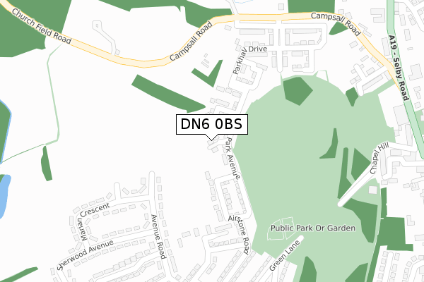
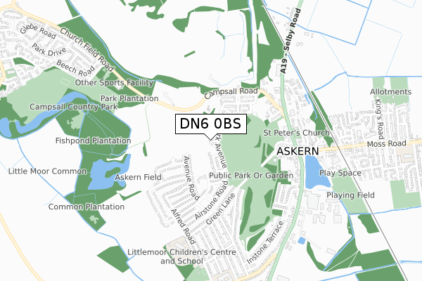
DN6 0BS maps


Source: OS Open Zoomstack (Ordnance Survey)
Licence: Open Government Licence (requires attribution)
Attribution: Contains OS data © Crown copyright and database right 2025
Source: Open Postcode GeoLicence: Open Government Licence (requires attribution)
Attribution: Contains OS data © Crown copyright and database right 2025; Contains Royal Mail data © Royal Mail copyright and database right 2025; Source: Office for National Statistics licensed under the Open Government Licence v.3.0
DN6 0BS geodata
| Easting | 455663 |
| Northing | 413667 |
| Latitude | 53.616618 |
| Longitude | -1.160031 |
Where is DN6 0BS?
| Country | England |
| Postcode District | DN6 |
Politics
| Ward | Norton & Askern |
|---|
| Constituency | Doncaster North |
|---|
Transport
Nearest bus stops to DN6 0BS
| Hilton Street (Campsall Road) | Askern | 299m |
| Opp Askern Cemetery (Church Field Road) | Askern | 311m |
| Hilton Street (Campsall Road) | Askern | 312m |
| O/S Askern Cemetery (Church Field Road) | Askern | 312m |
| Campsall Road (Selby Road) | Askern | 465m |
Nearest railway stations to DN6 0BS
Broadband
Broadband access in DN6 0BS (2020 data)
| Percentage of properties with Next Generation Access | 0.0% |
| Percentage of properties with Superfast Broadband | 0.0% |
| Percentage of properties with Ultrafast Broadband | 0.0% |
| Percentage of properties with Full Fibre Broadband | 0.0% |
Superfast Broadband is between 30Mbps and 300Mbps
Ultrafast Broadband is > 300Mbps
Broadband limitations in DN6 0BS (2020 data)
| Percentage of properties unable to receive 2Mbps | 0.0% |
| Percentage of properties unable to receive 5Mbps | 0.0% |
| Percentage of properties unable to receive 10Mbps | 0.0% |
| Percentage of properties unable to receive 30Mbps | 100.0% |
Deprivation
77.1% of English postcodes are less deprived than
DN6 0BS:
Food Standards Agency
Three nearest food hygiene ratings to DN6 0BS (metres)
The Top Shop
Jet Retail Uk Ltd
Filling Station And Shop
467m
Bel Sol
➜ Get more ratings from the Food Standards Agency
Nearest post box to DN6 0BS
| | Last Collection | |
|---|
| Location | Mon-Fri | Sat | Distance |
|---|
| Avenue Road | 17:00 | 08:15 | 333m |
| Askern Post Office | 16:45 | 11:30 | 503m |
| Instoneville P.o. | 17:00 | 11:15 | 660m |
DN6 0BS ITL and DN6 0BS LAU
The below table lists the International Territorial Level (ITL) codes (formerly Nomenclature of Territorial Units for Statistics (NUTS) codes) and Local Administrative Units (LAU) codes for DN6 0BS:
| ITL 1 Code | Name |
|---|
| TLE | Yorkshire and The Humber |
| ITL 2 Code | Name |
|---|
| TLE3 | South Yorkshire |
| ITL 3 Code | Name |
|---|
| TLE31 | Barnsley, Doncaster and Rotherham |
| LAU 1 Code | Name |
|---|
| E08000017 | Doncaster |
DN6 0BS census areas
The below table lists the Census Output Area (OA), Lower Layer Super Output Area (LSOA), and Middle Layer Super Output Area (MSOA) for DN6 0BS:
| Code | Name |
|---|
| OA | E00037944 | |
|---|
| LSOA | E01007490 | Doncaster 002D |
|---|
| MSOA | E02001540 | Doncaster 002 |
|---|
Nearest postcodes to DN6 0BS


