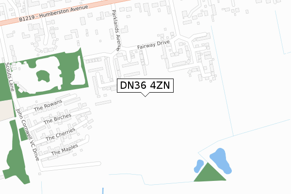
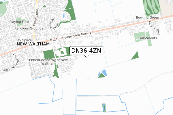
DN36 4ZN is located in the Humberston and New Waltham electoral ward, within the unitary authority of North East Lincolnshire and the English Parliamentary constituency of Cleethorpes. The Sub Integrated Care Board (ICB) Location is NHS Humber and North Yorkshire ICB - 03H and the police force is Humberside. This postcode has been in use since July 2018.


GetTheData
Source: OS Open Zoomstack (Ordnance Survey)
Licence: Open Government Licence (requires attribution)
Attribution: Contains OS data © Crown copyright and database right 2025
Source: Open Postcode Geo
Licence: Open Government Licence (requires attribution)
Attribution: Contains OS data © Crown copyright and database right 2025; Contains Royal Mail data © Royal Mail copyright and database right 2025; Source: Office for National Statistics licensed under the Open Government Licence v.3.0
| Easting | 529578 |
| Northing | 404553 |
| Latitude | 53.521704 |
| Longitude | -0.046964 |
GetTheData
Source: Open Postcode Geo
Licence: Open Government Licence
| Country | England |
| Postcode District | DN36 |
➜ See where DN36 is on a map ➜ Where is New Waltham? | |
GetTheData
Source: Land Registry Price Paid Data
Licence: Open Government Licence
| Ward | Humberston And New Waltham |
| Constituency | Cleethorpes |
GetTheData
Source: ONS Postcode Database
Licence: Open Government Licence
| Old Paddock Court (Humberston Avenue) | New Waltham | 441m |
| Old Paddock Court (Humberston Avenue) | New Waltham | 443m |
| Abbotts Grange (Humberston Avenue) | New Waltham | 477m |
| Abbotts Grange (Humberston Avenue) | New Waltham | 492m |
| Humberston Avenue | New Waltham | 528m |
| Cleethorpes Station | 4.6km |
| Grimsby Town Station | 5.3km |
GetTheData
Source: NaPTAN
Licence: Open Government Licence
GetTheData
Source: ONS Postcode Database
Licence: Open Government Licence


➜ Get more ratings from the Food Standards Agency
GetTheData
Source: Food Standards Agency
Licence: FSA terms & conditions
| Last Collection | |||
|---|---|---|---|
| Location | Mon-Fri | Sat | Distance |
| Humberstone Avenue | 16:15 | 11:15 | 486m |
| Tetney Road | 16:15 | 11:00 | 1,033m |
| Cardiff Avenue | 16:00 | 11:15 | 1,482m |
GetTheData
Source: Dracos
Licence: Creative Commons Attribution-ShareAlike
The below table lists the International Territorial Level (ITL) codes (formerly Nomenclature of Territorial Units for Statistics (NUTS) codes) and Local Administrative Units (LAU) codes for DN36 4ZN:
| ITL 1 Code | Name |
|---|---|
| TLE | Yorkshire and The Humber |
| ITL 2 Code | Name |
| TLE1 | East Yorkshire and Northern Lincolnshire |
| ITL 3 Code | Name |
| TLE13 | North and North East Lincolnshire |
| LAU 1 Code | Name |
| E06000012 | North East Lincolnshire |
GetTheData
Source: ONS Postcode Directory
Licence: Open Government Licence
The below table lists the Census Output Area (OA), Lower Layer Super Output Area (LSOA), and Middle Layer Super Output Area (MSOA) for DN36 4ZN:
| Code | Name | |
|---|---|---|
| OA | E00066443 | |
| LSOA | E01013168 | North East Lincolnshire 022A |
| MSOA | E02002747 | North East Lincolnshire 022 |
GetTheData
Source: ONS Postcode Directory
Licence: Open Government Licence
| DN36 4SQ | Old Paddock Court | 327m |
| DN36 4SS | Humberston Avenue | 399m |
| DN36 4SR | Humberston Avenue | 469m |
| DN36 4SU | Humberston Avenue | 490m |
| DN36 4BN | The Rowans | 499m |
| DN36 4SP | Humberston Avenue | 507m |
| DN36 4TB | Canon Oakes Court | 570m |
| DN36 4ST | Humberston Avenue | 574m |
| DN36 4TD | Abbotts Grange | 575m |
| DN36 4SW | Humberston Avenue | 619m |
GetTheData
Source: Open Postcode Geo; Land Registry Price Paid Data
Licence: Open Government Licence