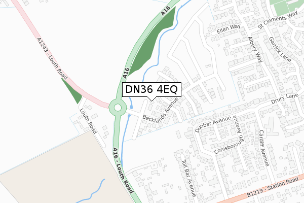
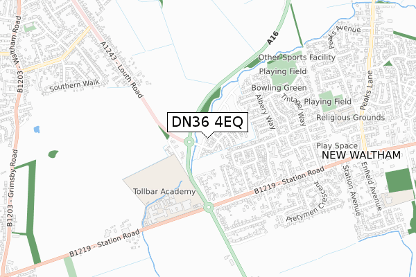
DN36 4EQ is located in the Humberston and New Waltham electoral ward, within the unitary authority of North East Lincolnshire and the English Parliamentary constituency of Cleethorpes. The Sub Integrated Care Board (ICB) Location is NHS Humber and North Yorkshire ICB - 03H and the police force is Humberside. This postcode has been in use since July 2018.


GetTheData
Source: OS Open Zoomstack (Ordnance Survey)
Licence: Open Government Licence (requires attribution)
Attribution: Contains OS data © Crown copyright and database right 2025
Source: Open Postcode Geo
Licence: Open Government Licence (requires attribution)
Attribution: Contains OS data © Crown copyright and database right 2025; Contains Royal Mail data © Royal Mail copyright and database right 2025; Source: Office for National Statistics licensed under the Open Government Licence v.3.0
| Easting | 527693 |
| Northing | 404879 |
| Latitude | 53.525093 |
| Longitude | -0.075245 |
GetTheData
Source: Open Postcode Geo
Licence: Open Government Licence
| Country | England |
| Postcode District | DN36 |
➜ See where DN36 is on a map ➜ Where is New Waltham? | |
GetTheData
Source: Land Registry Price Paid Data
Licence: Open Government Licence
| Ward | Humberston And New Waltham |
| Constituency | Cleethorpes |
GetTheData
Source: ONS Postcode Database
Licence: Open Government Licence
| Louth Road | New Waltham | 303m |
| Louth Road | New Waltham | 312m |
| Toll Bar Avenue (Station Road) | New Waltham | 367m |
| Toll Bar Avenue (Station Road) | New Waltham | 381m |
| Pemberton Drive (Station Road) | New Waltham | 397m |
| Grimsby Town Station | 4.3km |
| Cleethorpes Station | 5.1km |
GetTheData
Source: NaPTAN
Licence: Open Government Licence
| Percentage of properties with Next Generation Access | 100.0% |
| Percentage of properties with Superfast Broadband | 100.0% |
| Percentage of properties with Ultrafast Broadband | 100.0% |
| Percentage of properties with Full Fibre Broadband | 50.0% |
Superfast Broadband is between 30Mbps and 300Mbps
Ultrafast Broadband is > 300Mbps
| Percentage of properties unable to receive 2Mbps | 0.0% |
| Percentage of properties unable to receive 5Mbps | 0.0% |
| Percentage of properties unable to receive 10Mbps | 0.0% |
| Percentage of properties unable to receive 30Mbps | 0.0% |
GetTheData
Source: Ofcom
Licence: Ofcom Terms of Use (requires attribution)
GetTheData
Source: ONS Postcode Database
Licence: Open Government Licence


➜ Get more ratings from the Food Standards Agency
GetTheData
Source: Food Standards Agency
Licence: FSA terms & conditions
| Last Collection | |||
|---|---|---|---|
| Location | Mon-Fri | Sat | Distance |
| Church Corner | 16:00 | 09:00 | 386m |
| Cardiff Avenue | 16:00 | 11:15 | 458m |
| Waltham Road | 17:00 | 11:00 | 1,311m |
GetTheData
Source: Dracos
Licence: Creative Commons Attribution-ShareAlike
The below table lists the International Territorial Level (ITL) codes (formerly Nomenclature of Territorial Units for Statistics (NUTS) codes) and Local Administrative Units (LAU) codes for DN36 4EQ:
| ITL 1 Code | Name |
|---|---|
| TLE | Yorkshire and The Humber |
| ITL 2 Code | Name |
| TLE1 | East Yorkshire and Northern Lincolnshire |
| ITL 3 Code | Name |
| TLE13 | North and North East Lincolnshire |
| LAU 1 Code | Name |
| E06000012 | North East Lincolnshire |
GetTheData
Source: ONS Postcode Directory
Licence: Open Government Licence
The below table lists the Census Output Area (OA), Lower Layer Super Output Area (LSOA), and Middle Layer Super Output Area (MSOA) for DN36 4EQ:
| Code | Name | |
|---|---|---|
| OA | E00173603 | |
| LSOA | E01013171 | North East Lincolnshire 022C |
| MSOA | E02002747 | North East Lincolnshire 022 |
GetTheData
Source: ONS Postcode Directory
Licence: Open Government Licence
| DN36 4NY | Simpsons Fold Court | 211m |
| DN36 4PY | Dunbar Avenue | 238m |
| DN36 4PW | Toll Bar Avenue | 242m |
| DN36 4QA | Dursley Avenue | 255m |
| DN36 4PX | Louth Road | 277m |
| DN36 4PZ | Conisborough Avenue | 286m |
| DN36 4PL | Pemberton Drive | 311m |
| DN36 4PJ | Pemberton Drive | 331m |
| DN36 4WN | Martin Way | 336m |
| DN36 4PN | Station Road | 344m |
GetTheData
Source: Open Postcode Geo; Land Registry Price Paid Data
Licence: Open Government Licence