DN14 9QX maps, stats, and open data
DN14 9QX is located in the Snaith, Airmyn, Rawcliffe and Marshland electoral ward, within the unitary authority of East Riding of Yorkshire and the English Parliamentary constituency of Brigg and Goole. The Sub Integrated Care Board (ICB) Location is NHS Humber and North Yorkshire ICB - 02Y and the police force is Humberside. This postcode has been in use since September 2018.
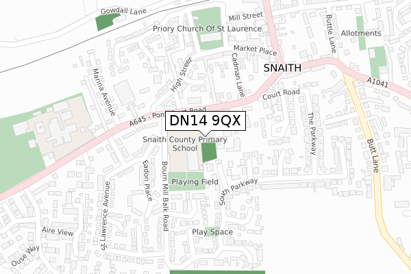
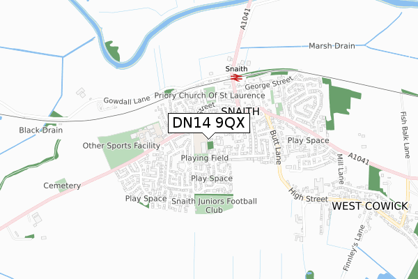
DN14 9QX maps


Licence: Open Government Licence (requires attribution)
Attribution: Contains OS data © Crown copyright and database right 2025
Source: Open Postcode Geo
Licence: Open Government Licence (requires attribution)
Attribution: Contains OS data © Crown copyright and database right 2025; Contains Royal Mail data © Royal Mail copyright and database right 2025; Source: Office for National Statistics licensed under the Open Government Licence v.3.0
DN14 9QX geodata
| Easting | 464092 |
| Northing | 421953 |
| Latitude | 53.690123 |
| Longitude | -1.030925 |
Where is DN14 9QX?
| Country | England |
| Postcode District | DN14 |
Politics
| Ward | Snaith, Airmyn, Rawcliffe And Marshland |
|---|---|
| Constituency | Brigg And Goole |
House Prices
Sales of detached houses in DN14 9QX
PAXTON HOUSE 1, FORESTERS COURT, PONTEFRACT ROAD, SNAITH, GOOLE, DN14 9QX 2023 4 AUG £470,000 |
PAXTON HOUSE 1, FORESTERS COURT, PONTEFRACT ROAD, SNAITH, GOOLE, DN14 9QX 2021 5 JAN £470,000 |
FROBISHER HOUSE 2, FORESTERS COURT, PONTEFRACT ROAD, SNAITH, GOOLE, DN14 9QX 2020 30 SEP £475,000 |
DEIGHTON HOUSE 4, FORESTERS COURT, PONTEFRACT ROAD, SNAITH, GOOLE, DN14 9QX 2020 24 JAN £480,000 |
DAWSON HOUSE 3, FORESTERS COURT, PONTEFRACT ROAD, SNAITH, GOOLE, DN14 9QX 2002 19 JUL £225,000 |
Licence: Contains HM Land Registry data © Crown copyright and database right 2025. This data is licensed under the Open Government Licence v3.0.
Transport
Nearest bus stops to DN14 9QX
| Snaith Pontefract Road (Pontefract Road) | Snaith | 50m |
| Snaith Pontefract Road (Pontefract Road) | Snaith | 123m |
| Snaith Pontefract Road (Pontefract Road) | Snaith | 197m |
| Snaith Pontefract Road (Pontefract Road) | Snaith | 259m |
| Snaith Railway Stn (Selby Road) | Snaith | 295m |
Nearest railway stations to DN14 9QX
| Snaith Station | 0.4km |
| Rawcliffe Station | 4.6km |
Deprivation
14.8% of English postcodes are less deprived than DN14 9QX:Food Standards Agency
Three nearest food hygiene ratings to DN14 9QX (metres)


➜ Get more ratings from the Food Standards Agency
Nearest post box to DN14 9QX
| Last Collection | |||
|---|---|---|---|
| Location | Mon-Fri | Sat | Distance |
| Pontefract Road | 16:30 | 09:30 | 198m |
| Snaith Post Office | 17:00 | 10:00 | 206m |
| Beast Fair, Cowick Road | 17:15 | 09:45 | 353m |
DN14 9QX ITL and DN14 9QX LAU
The below table lists the International Territorial Level (ITL) codes (formerly Nomenclature of Territorial Units for Statistics (NUTS) codes) and Local Administrative Units (LAU) codes for DN14 9QX:
| ITL 1 Code | Name |
|---|---|
| TLE | Yorkshire and The Humber |
| ITL 2 Code | Name |
| TLE1 | East Yorkshire and Northern Lincolnshire |
| ITL 3 Code | Name |
| TLE12 | East Riding of Yorkshire |
| LAU 1 Code | Name |
| E06000011 | East Riding of Yorkshire |
DN14 9QX census areas
The below table lists the Census Output Area (OA), Lower Layer Super Output Area (LSOA), and Middle Layer Super Output Area (MSOA) for DN14 9QX:
| Code | Name | |
|---|---|---|
| OA | E00065983 | |
| LSOA | E01013077 | East Riding of Yorkshire 042D |
| MSOA | E02002725 | East Riding of Yorkshire 042 |
Nearest postcodes to DN14 9QX
| DN14 9JS | Pontefract Road | 89m |
| DN14 9HH | Lodge Gardens | 94m |
| DN14 9JR | Pontefract Road | 101m |
| DN14 9HJ | High Street | 111m |
| DN14 9LG | Park Gardens | 124m |
| DN14 9LQ | The Chase | 125m |
| DN14 9JY | Mill Balk Place | 160m |
| DN14 9HQ | High Street | 165m |
| DN14 9JU | Weeland Villas | 166m |
| DN14 9HF | High Street | 166m |