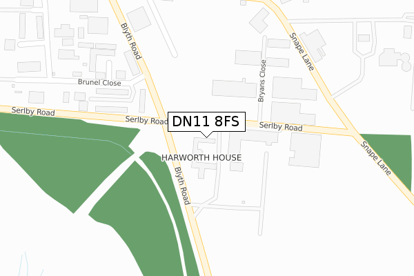
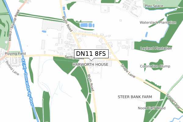
DN11 8FS is located in the Blyth electoral ward, within the local authority district of Bassetlaw and the English Parliamentary constituency of Bassetlaw. The Sub Integrated Care Board (ICB) Location is NHS Nottingham and Nottinghamshire ICB - 02Q and the police force is Nottinghamshire. This postcode has been in use since December 2018.


GetTheData
Source: OS Open Zoomstack (Ordnance Survey)
Licence: Open Government Licence (requires attribution)
Attribution: Contains OS data © Crown copyright and database right 2025
Source: Open Postcode Geo
Licence: Open Government Licence (requires attribution)
Attribution: Contains OS data © Crown copyright and database right 2025; Contains Royal Mail data © Royal Mail copyright and database right 2025; Source: Office for National Statistics licensed under the Open Government Licence v.3.0
| Easting | 462040 |
| Northing | 390539 |
| Latitude | 53.408048 |
| Longitude | -1.068212 |
GetTheData
Source: Open Postcode Geo
Licence: Open Government Licence
| Country | England |
| Postcode District | DN11 |
➜ See where DN11 is on a map | |
GetTheData
Source: Land Registry Price Paid Data
Licence: Open Government Licence
| Ward | Blyth |
| Constituency | Bassetlaw |
GetTheData
Source: ONS Postcode Database
Licence: Open Government Licence
| Certex (Serlby Road) | Harworth | 119m |
| Certex (Serlby Road) | Harworth | 161m |
| Industrial Estate (Blyth Road) | Harworth | 254m |
| Industrial Estate (Blyth Road) | Harworth | 254m |
| Industrial Estate (Brunel Close) | Harworth | 496m |
GetTheData
Source: NaPTAN
Licence: Open Government Licence
GetTheData
Source: ONS Postcode Database
Licence: Open Government Licence


➜ Get more ratings from the Food Standards Agency
GetTheData
Source: Food Standards Agency
Licence: FSA terms & conditions
| Last Collection | |||
|---|---|---|---|
| Location | Mon-Fri | Sat | Distance |
| Brunel Ie | 16:45 | 11:15 | 250m |
| Scrooby Road | 17:00 | 10:45 | 1,027m |
| Harworth Post Office | 17:00 | 11:00 | 1,126m |
GetTheData
Source: Dracos
Licence: Creative Commons Attribution-ShareAlike
The below table lists the International Territorial Level (ITL) codes (formerly Nomenclature of Territorial Units for Statistics (NUTS) codes) and Local Administrative Units (LAU) codes for DN11 8FS:
| ITL 1 Code | Name |
|---|---|
| TLF | East Midlands (England) |
| ITL 2 Code | Name |
| TLF1 | Derbyshire and Nottinghamshire |
| ITL 3 Code | Name |
| TLF15 | North Nottinghamshire |
| LAU 1 Code | Name |
| E07000171 | Bassetlaw |
GetTheData
Source: ONS Postcode Directory
Licence: Open Government Licence
The below table lists the Census Output Area (OA), Lower Layer Super Output Area (LSOA), and Middle Layer Super Output Area (MSOA) for DN11 8FS:
| Code | Name | |
|---|---|---|
| OA | E00142665 | |
| LSOA | E01028000 | Bassetlaw 001A |
| MSOA | E02005835 | Bassetlaw 001 |
GetTheData
Source: ONS Postcode Directory
Licence: Open Government Licence
| DN11 8SG | British Coal Enterprise Park | 209m |
| DN11 8QB | Brunel Gate | 317m |
| DN11 8BZ | Lords Wood Road | 373m |
| DN11 8NE | Blyth Road | 397m |
| DN11 8QA | Brunel Close | 441m |
| DN10 6BD | Blyth Road | 925m |
| DN11 8RX | Hesley Road | 932m |
| DN11 8TA | Galway Mews | 959m |
| DN11 8JT | Scrooby Road | 961m |
| DN11 8JZ | Main Street | 1004m |
GetTheData
Source: Open Postcode Geo; Land Registry Price Paid Data
Licence: Open Government Licence