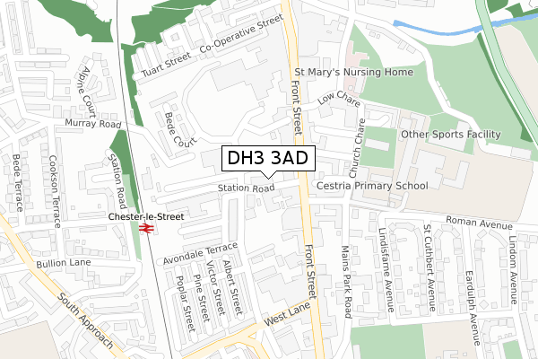
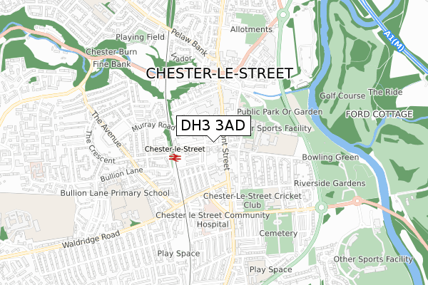
DH3 3AD is located in the Chester-le-Street West Central electoral ward, within the unitary authority of County Durham and the English Parliamentary constituency of North Durham. The Sub Integrated Care Board (ICB) Location is NHS North East and North Cumbria ICB - 84H and the police force is Durham. This postcode has been in use since June 2018.


GetTheData
Source: OS Open Zoomstack (Ordnance Survey)
Licence: Open Government Licence (requires attribution)
Attribution: Contains OS data © Crown copyright and database right 2025
Source: Open Postcode Geo
Licence: Open Government Licence (requires attribution)
Attribution: Contains OS data © Crown copyright and database right 2025; Contains Royal Mail data © Royal Mail copyright and database right 2025; Source: Office for National Statistics licensed under the Open Government Licence v.3.0
| Easting | 427402 |
| Northing | 551252 |
| Latitude | 54.855327 |
| Longitude | -1.574718 |
GetTheData
Source: Open Postcode Geo
Licence: Open Government Licence
| Country | England |
| Postcode District | DH3 |
➜ See where DH3 is on a map ➜ Where is Chester-le-Street? | |
GetTheData
Source: Land Registry Price Paid Data
Licence: Open Government Licence
| Ward | Chester-le-street West Central |
| Constituency | North Durham |
GetTheData
Source: ONS Postcode Database
Licence: Open Government Licence
| Lambton Arms Ph (Front Street) | Chester-le-street | 68m |
| Lambton Arms Ph (Front Street) | Chester-le-street | 89m |
| Church Chare Schools (Church Chare) | Chester-le-street | 195m |
| Park View School - Deanery Site (Church Chare) | Chester-le-street | 207m |
| Railway Station Car Park (Station Road) | Chester-le-street | 232m |
| Chester-le-Street Station | 0.2km |
GetTheData
Source: NaPTAN
Licence: Open Government Licence
| Percentage of properties with Next Generation Access | 100.0% |
| Percentage of properties with Superfast Broadband | 100.0% |
| Percentage of properties with Ultrafast Broadband | 0.0% |
| Percentage of properties with Full Fibre Broadband | 0.0% |
Superfast Broadband is between 30Mbps and 300Mbps
Ultrafast Broadband is > 300Mbps
| Percentage of properties unable to receive 2Mbps | 0.0% |
| Percentage of properties unable to receive 5Mbps | 0.0% |
| Percentage of properties unable to receive 10Mbps | 0.0% |
| Percentage of properties unable to receive 30Mbps | 0.0% |
GetTheData
Source: Ofcom
Licence: Ofcom Terms of Use (requires attribution)
GetTheData
Source: ONS Postcode Database
Licence: Open Government Licence


➜ Get more ratings from the Food Standards Agency
GetTheData
Source: Food Standards Agency
Licence: FSA terms & conditions
| Last Collection | |||
|---|---|---|---|
| Location | Mon-Fri | Sat | Distance |
| Post Office, Front Street | 18:30 | 12:30 | 158m |
| Front Street | 18:30 | 12:00 | 235m |
| Murray Road | 17:00 | 12:00 | 378m |
GetTheData
Source: Dracos
Licence: Creative Commons Attribution-ShareAlike
The below table lists the International Territorial Level (ITL) codes (formerly Nomenclature of Territorial Units for Statistics (NUTS) codes) and Local Administrative Units (LAU) codes for DH3 3AD:
| ITL 1 Code | Name |
|---|---|
| TLC | North East (England) |
| ITL 2 Code | Name |
| TLC1 | Tees Valley and Durham |
| ITL 3 Code | Name |
| TLC14 | Durham |
| LAU 1 Code | Name |
| E06000047 | County Durham |
GetTheData
Source: ONS Postcode Directory
Licence: Open Government Licence
The below table lists the Census Output Area (OA), Lower Layer Super Output Area (LSOA), and Middle Layer Super Output Area (MSOA) for DH3 3AD:
| Code | Name | |
|---|---|---|
| OA | E00104462 | |
| LSOA | E01020593 | County Durham 011B |
| MSOA | E02004293 | County Durham 011 |
GetTheData
Source: ONS Postcode Directory
Licence: Open Government Licence
| DH3 3EJ | Wesley Terrace | 44m |
| DH3 3DU | Station Road | 57m |
| DH3 3BJ | Front Street | 94m |
| DH3 3DS | Osborne Road | 99m |
| DH3 3QD | Middle Chare | 108m |
| DH3 3BB | Front Street | 123m |
| DH3 3PX | High Chare | 124m |
| DH3 3DX | Central Exchange | 142m |
| DH3 3PZ | Church Chare | 143m |
| DH3 3AY | Front Street | 149m |
GetTheData
Source: Open Postcode Geo; Land Registry Price Paid Data
Licence: Open Government Licence