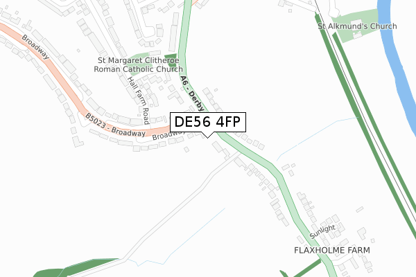
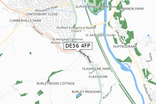
DE56 4FP is located in the Duffield & Quarndon electoral ward, within the local authority district of Amber Valley and the English Parliamentary constituency of Mid Derbyshire. The Sub Integrated Care Board (ICB) Location is NHS Derby and Derbyshire ICB - 15M and the police force is Derbyshire. This postcode has been in use since April 2020.


GetTheData
Source: OS Open Zoomstack (Ordnance Survey)
Licence: Open Government Licence (requires attribution)
Attribution: Contains OS data © Crown copyright and database right 2025
Source: Open Postcode Geo
Licence: Open Government Licence (requires attribution)
Attribution: Contains OS data © Crown copyright and database right 2025; Contains Royal Mail data © Royal Mail copyright and database right 2025; Source: Office for National Statistics licensed under the Open Government Licence v.3.0
| Easting | 434008 |
| Northing | 344224 |
| Latitude | 52.994289 |
| Longitude | -1.494778 |
GetTheData
Source: Open Postcode Geo
Licence: Open Government Licence
| Country | England |
| Postcode District | DE56 |
➜ See where DE56 is on a map | |
GetTheData
Source: Land Registry Price Paid Data
Licence: Open Government Licence
| Ward | Duffield & Quarndon |
| Constituency | Mid Derbyshire |
GetTheData
Source: ONS Postcode Database
Licence: Open Government Licence
| Chadfield Road (Avenue Road) | Duffield | 175m |
| Chadfield Road (Avenue Road) | Duffield | 188m |
| Castle Hill (Milford Road) | Duffield | 423m |
| Castle Hill (Milford Road) | Duffield | 428m |
| Moscow Farm (Derby Road) | Milford | 615m |
| Duffield (Ecclesbourne Valley Railway) | Duffield | 889m |
| Duffield Station | 0.9km |
| Belper Station | 3.4km |
GetTheData
Source: NaPTAN
Licence: Open Government Licence
GetTheData
Source: ONS Postcode Database
Licence: Open Government Licence


➜ Get more ratings from the Food Standards Agency
GetTheData
Source: Food Standards Agency
Licence: FSA terms & conditions
| Last Collection | |||
|---|---|---|---|
| Location | Mon-Fri | Sat | Distance |
| Hazelwood Road | 16:00 | 08:30 | 57m |
| Avenue Road | 16:00 | 08:45 | 212m |
| King Street | 16:00 | 09:00 | 527m |
GetTheData
Source: Dracos
Licence: Creative Commons Attribution-ShareAlike
The below table lists the International Territorial Level (ITL) codes (formerly Nomenclature of Territorial Units for Statistics (NUTS) codes) and Local Administrative Units (LAU) codes for DE56 4FP:
| ITL 1 Code | Name |
|---|---|
| TLF | East Midlands (England) |
| ITL 2 Code | Name |
| TLF1 | Derbyshire and Nottinghamshire |
| ITL 3 Code | Name |
| TLF13 | South and West Derbyshire |
| LAU 1 Code | Name |
| E07000032 | Amber Valley |
GetTheData
Source: ONS Postcode Directory
Licence: Open Government Licence
The below table lists the Census Output Area (OA), Lower Layer Super Output Area (LSOA), and Middle Layer Super Output Area (MSOA) for DE56 4FP:
| Code | Name | |
|---|---|---|
| OA | E00098247 | |
| LSOA | E01019427 | Amber Valley 016C |
| MSOA | E02004044 | Amber Valley 016 |
GetTheData
Source: ONS Postcode Directory
Licence: Open Government Licence
| DE56 4DQ | Hazelwood Road | 38m |
| DE56 4FG | Hazelwood Road | 44m |
| DE56 4DR | Nether Close | 87m |
| DE56 4AB | Richmond Drive | 149m |
| DE56 4DS | Chevin Road | 166m |
| DE56 4DU | Chadfield Road | 210m |
| DE56 4DW | Avenue Road | 232m |
| DE56 4DT | Chevin Vale | 258m |
| DE56 4DX | Lime Avenue | 294m |
| DE56 4DJ | Ash Tree Close | 306m |
GetTheData
Source: Open Postcode Geo; Land Registry Price Paid Data
Licence: Open Government Licence