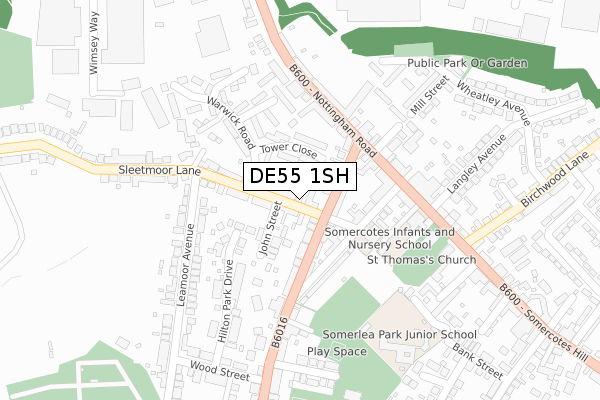
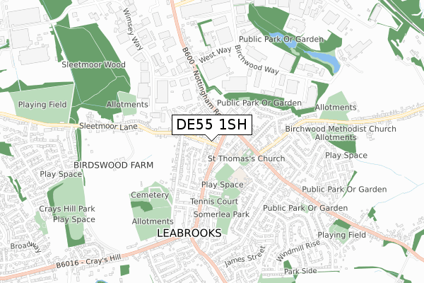
DE55 1SH is located in the Somercotes electoral ward, within the local authority district of Amber Valley and the English Parliamentary constituency of Amber Valley. The Sub Integrated Care Board (ICB) Location is NHS Derby and Derbyshire ICB - 15M and the police force is Derbyshire. This postcode has been in use since February 2018.


GetTheData
Source: OS Open Zoomstack (Ordnance Survey)
Licence: Open Government Licence (requires attribution)
Attribution: Contains OS data © Crown copyright and database right 2025
Source: Open Postcode Geo
Licence: Open Government Licence (requires attribution)
Attribution: Contains OS data © Crown copyright and database right 2025; Contains Royal Mail data © Royal Mail copyright and database right 2025; Source: Office for National Statistics licensed under the Open Government Licence v.3.0
| Easting | 442158 |
| Northing | 353871 |
| Latitude | 53.080425 |
| Longitude | -1.372106 |
GetTheData
Source: Open Postcode Geo
Licence: Open Government Licence
| Country | England |
| Postcode District | DE55 |
➜ See where DE55 is on a map ➜ Where is Somercotes? | |
GetTheData
Source: Land Registry Price Paid Data
Licence: Open Government Licence
| Ward | Somercotes |
| Constituency | Amber Valley |
GetTheData
Source: ONS Postcode Database
Licence: Open Government Licence
| John Street (Sleetmoor Lane) | Somercotes | 21m |
| High Street | Somercotes | 110m |
| High Street (Nottingham Road) | Somercotes | 156m |
| High Street (Nottingham Road) | Somercotes | 160m |
| Leamoor Avenue (Sleetmoor Lane) | Somercotes | 167m |
| Alfreton Station | 2.2km |
GetTheData
Source: NaPTAN
Licence: Open Government Licence
| Percentage of properties with Next Generation Access | 100.0% |
| Percentage of properties with Superfast Broadband | 100.0% |
| Percentage of properties with Ultrafast Broadband | 0.0% |
| Percentage of properties with Full Fibre Broadband | 0.0% |
Superfast Broadband is between 30Mbps and 300Mbps
Ultrafast Broadband is > 300Mbps
| Median download speed | 28.7Mbps |
| Average download speed | 33.9Mbps |
| Maximum download speed | 80.00Mbps |
| Median upload speed | 5.6Mbps |
| Average upload speed | 6.7Mbps |
| Maximum upload speed | 20.00Mbps |
| Percentage of properties unable to receive 2Mbps | 0.0% |
| Percentage of properties unable to receive 5Mbps | 0.0% |
| Percentage of properties unable to receive 10Mbps | 0.0% |
| Percentage of properties unable to receive 30Mbps | 0.0% |
GetTheData
Source: Ofcom
Licence: Ofcom Terms of Use (requires attribution)
GetTheData
Source: ONS Postcode Database
Licence: Open Government Licence


➜ Get more ratings from the Food Standards Agency
GetTheData
Source: Food Standards Agency
Licence: FSA terms & conditions
| Last Collection | |||
|---|---|---|---|
| Location | Mon-Fri | Sat | Distance |
| Sleetmoor Lane | 17:30 | 09:30 | 179m |
| Somercotes Post Office | 17:30 | 09:30 | 338m |
| Alfreton Delivery Office Box | 17:30 | 12:00 | 507m |
GetTheData
Source: Dracos
Licence: Creative Commons Attribution-ShareAlike
The below table lists the International Territorial Level (ITL) codes (formerly Nomenclature of Territorial Units for Statistics (NUTS) codes) and Local Administrative Units (LAU) codes for DE55 1SH:
| ITL 1 Code | Name |
|---|---|
| TLF | East Midlands (England) |
| ITL 2 Code | Name |
| TLF1 | Derbyshire and Nottinghamshire |
| ITL 3 Code | Name |
| TLF13 | South and West Derbyshire |
| LAU 1 Code | Name |
| E07000032 | Amber Valley |
GetTheData
Source: ONS Postcode Directory
Licence: Open Government Licence
The below table lists the Census Output Area (OA), Lower Layer Super Output Area (LSOA), and Middle Layer Super Output Area (MSOA) for DE55 1SH:
| Code | Name | |
|---|---|---|
| OA | E00098471 | |
| LSOA | E01019471 | Amber Valley 003E |
| MSOA | E02004031 | Amber Valley 003 |
GetTheData
Source: ONS Postcode Directory
Licence: Open Government Licence
| DE55 4HD | High Street | 75m |
| DE55 1RD | John Street | 95m |
| DE55 4HA | Victoria Street | 96m |
| DE55 1SB | Tower Close | 102m |
| DE55 1RB | Sleetmoor Lane | 104m |
| DE55 4HB | Leabrooks Road | 143m |
| DE55 4LY | Nottingham Road | 149m |
| DE55 1ND | Hilton Park Drive | 170m |
| DE55 1SD | Warwick Road | 175m |
| DE55 4JG | Nottingham Road | 187m |
GetTheData
Source: Open Postcode Geo; Land Registry Price Paid Data
Licence: Open Government Licence