Property/Postcode Data Search:
DE1 3FH maps, stats, and open data
DE1 3FH is located in the Darley electoral ward, within the unitary authority of Derby and the English Parliamentary constituency of Derby North. The Sub Integrated Care Board (ICB) Location is NHS Derby and Derbyshire ICB - 15M and the police force is Derbyshire. This postcode has been in use since January 2020.
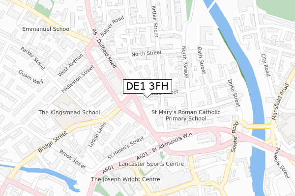
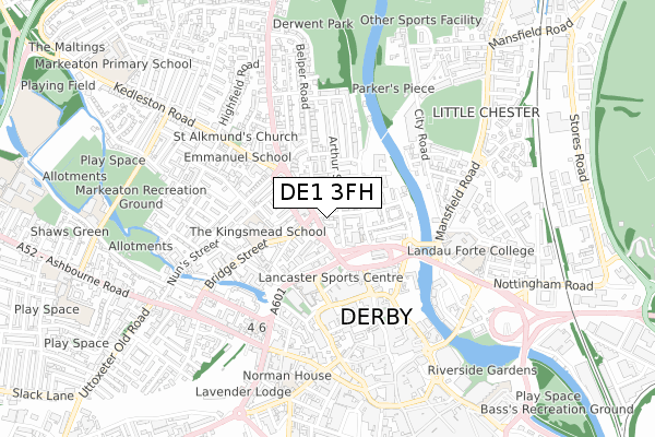
DE1 3FH maps


Source: OS Open Zoomstack (Ordnance Survey)
Licence: Open Government Licence (requires attribution)
Attribution: Contains OS data © Crown copyright and database right 2025
Source: Open Postcode Geo
Licence: Open Government Licence (requires attribution)
Attribution: Contains OS data © Crown copyright and database right 2025; Contains Royal Mail data © Royal Mail copyright and database right 2025; Source: Office for National Statistics licensed under the Open Government Licence v.3.0
Licence: Open Government Licence (requires attribution)
Attribution: Contains OS data © Crown copyright and database right 2025
Source: Open Postcode Geo
Licence: Open Government Licence (requires attribution)
Attribution: Contains OS data © Crown copyright and database right 2025; Contains Royal Mail data © Royal Mail copyright and database right 2025; Source: Office for National Statistics licensed under the Open Government Licence v.3.0
DE1 3FH geodata
| Easting | 435001 |
| Northing | 336866 |
| Latitude | 52.928085 |
| Longitude | -1.480777 |
Where is DE1 3FH?
| Country | England |
| Postcode District | DE1 |
Politics
| Ward | Darley |
|---|---|
| Constituency | Derby North |
Transport
Nearest bus stops to DE1 3FH
| Seven Stars (King Street) | Derby | 37m |
| Seven Stars (Quaker Way) | Derby | 87m |
| Garden Street (Duffield Road) | Derby | 168m |
| Garden Street | Derby | 171m |
| Kings Mead Walk (Bridge Street) | Derby | 221m |
Nearest railway stations to DE1 3FH
| Derby Station | 1.7km |
| Peartree Station | 3.5km |
| Spondon Station | 5km |
Deprivation
81.1% of English postcodes are less deprived than DE1 3FH:Food Standards Agency
Three nearest food hygiene ratings to DE1 3FH (metres)
Five Lamps Fish Bar
109a King Street
52m
Top Chef

Takeaway
57m
Good Cheer Cellar

38 Arthur Street
58m
➜ Get more ratings from the Food Standards Agency
Nearest post box to DE1 3FH
| Last Collection | |||
|---|---|---|---|
| Location | Mon-Fri | Sat | Distance |
| Duffield Road Post Office | 18:30 | 12:00 | 59m |
| Belper Road | 18:30 | 10:30 | 248m |
| Rivermead House | 18:30 | 10:30 | 250m |
DE1 3FH ITL and DE1 3FH LAU
The below table lists the International Territorial Level (ITL) codes (formerly Nomenclature of Territorial Units for Statistics (NUTS) codes) and Local Administrative Units (LAU) codes for DE1 3FH:
| ITL 1 Code | Name |
|---|---|
| TLF | East Midlands (England) |
| ITL 2 Code | Name |
| TLF1 | Derbyshire and Nottinghamshire |
| ITL 3 Code | Name |
| TLF11 | Derby |
| LAU 1 Code | Name |
| E06000015 | Derby |
DE1 3FH census areas
The below table lists the Census Output Area (OA), Lower Layer Super Output Area (LSOA), and Middle Layer Super Output Area (MSOA) for DE1 3FH:
| Code | Name | |
|---|---|---|
| OA | E00068300 | |
| LSOA | E01013523 | Derby 008B |
| MSOA | E02002803 | Derby 008 |
Nearest postcodes to DE1 3FH
| DE1 3BN | Edward Street | 34m |
| DE1 3EF | Arthur Street | 59m |
| DE1 3DH | Arthur Street | 66m |
| DE1 3BR | Edward Street | 66m |
| DE1 3EE | King Street | 68m |
| DE1 3BQ | Henry Street | 79m |
| DE1 3BB | Duffield Road | 96m |
| DE1 3JG | Garden Street | 102m |
| DE1 3BH | Duffield Road | 112m |
| DE1 3AQ | St Marys Mews | 125m |