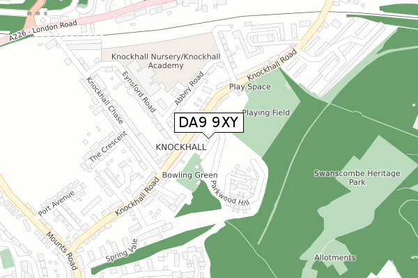
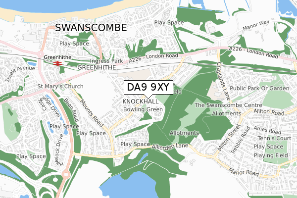
DA9 9XY is located in the Greenhithe & Knockhall electoral ward, within the local authority district of Dartford and the English Parliamentary constituency of Dartford. The Sub Integrated Care Board (ICB) Location is NHS Kent and Medway ICB - 91Q and the police force is Kent. This postcode has been in use since September 2018.


GetTheData
Source: OS Open Zoomstack (Ordnance Survey)
Licence: Open Government Licence (requires attribution)
Attribution: Contains OS data © Crown copyright and database right 2025
Source: Open Postcode Geo
Licence: Open Government Licence (requires attribution)
Attribution: Contains OS data © Crown copyright and database right 2025; Contains Royal Mail data © Royal Mail copyright and database right 2025; Source: Office for National Statistics licensed under the Open Government Licence v.3.0
| Easting | 559305 |
| Northing | 174547 |
| Latitude | 51.447506 |
| Longitude | 0.291114 |
GetTheData
Source: Open Postcode Geo
Licence: Open Government Licence
| Country | England |
| Postcode District | DA9 |
➜ See where DA9 is on a map ➜ Where is Swanscombe? | |
GetTheData
Source: Land Registry Price Paid Data
Licence: Open Government Licence
| Ward | Greenhithe & Knockhall |
| Constituency | Dartford |
GetTheData
Source: ONS Postcode Database
Licence: Open Government Licence
| Alexander Road (Knockhall Road) | Greenhithe | 128m |
| Alexander Road (Knockhall Road) | Greenhithe | 163m |
| The Avenue (London Road) | Greenhithe | 444m |
| Johnsons Way (Alkerden Lane) | Greenhithe | 457m |
| Knockhall Road (London Road) | Greenhithe | 457m |
| Greenhithe for Bluewater Station | 0.8km |
| Swanscombe Station | 1.3km |
| Stone Crossing Station | 1.9km |
GetTheData
Source: NaPTAN
Licence: Open Government Licence
| Percentage of properties with Next Generation Access | 100.0% |
| Percentage of properties with Superfast Broadband | 100.0% |
| Percentage of properties with Ultrafast Broadband | 100.0% |
| Percentage of properties with Full Fibre Broadband | 100.0% |
Superfast Broadband is between 30Mbps and 300Mbps
Ultrafast Broadband is > 300Mbps
| Percentage of properties unable to receive 2Mbps | 0.0% |
| Percentage of properties unable to receive 5Mbps | 0.0% |
| Percentage of properties unable to receive 10Mbps | 0.0% |
| Percentage of properties unable to receive 30Mbps | 0.0% |
GetTheData
Source: Ofcom
Licence: Ofcom Terms of Use (requires attribution)
GetTheData
Source: ONS Postcode Database
Licence: Open Government Licence


➜ Get more ratings from the Food Standards Agency
GetTheData
Source: Food Standards Agency
Licence: FSA terms & conditions
| Last Collection | |||
|---|---|---|---|
| Location | Mon-Fri | Sat | Distance |
| Knockhall | 17:30 | 11:15 | 61m |
| London Road | 17:30 | 11:15 | 367m |
| Knockhall Road | 17:30 | 11:15 | 369m |
GetTheData
Source: Dracos
Licence: Creative Commons Attribution-ShareAlike
The below table lists the International Territorial Level (ITL) codes (formerly Nomenclature of Territorial Units for Statistics (NUTS) codes) and Local Administrative Units (LAU) codes for DA9 9XY:
| ITL 1 Code | Name |
|---|---|
| TLJ | South East (England) |
| ITL 2 Code | Name |
| TLJ4 | Kent |
| ITL 3 Code | Name |
| TLJ43 | Kent Thames Gateway |
| LAU 1 Code | Name |
| E07000107 | Dartford |
GetTheData
Source: ONS Postcode Directory
Licence: Open Government Licence
The below table lists the Census Output Area (OA), Lower Layer Super Output Area (LSOA), and Middle Layer Super Output Area (MSOA) for DA9 9XY:
| Code | Name | |
|---|---|---|
| OA | E00122558 | |
| LSOA | E01024141 | Dartford 002B |
| MSOA | E02005029 | Dartford 002 |
GetTheData
Source: ONS Postcode Directory
Licence: Open Government Licence
| DA9 9HF | Knockhall Road | 65m |
| DA9 9HQ | Knockhall Road | 86m |
| DA9 9EZ | Knockhall Road | 99m |
| DA9 9HG | Knockhall Road | 117m |
| DA9 9HD | Abbey Road | 121m |
| DA9 9HE | Knockhall Road | 135m |
| DA9 9ES | Knockhall Road | 157m |
| DA9 9ER | Knockhall Chase | 177m |
| DA9 9HB | Eynsford Road | 180m |
| DA9 9HR | Jubilee Close | 187m |
GetTheData
Source: Open Postcode Geo; Land Registry Price Paid Data
Licence: Open Government Licence