Property/Postcode Data Search:
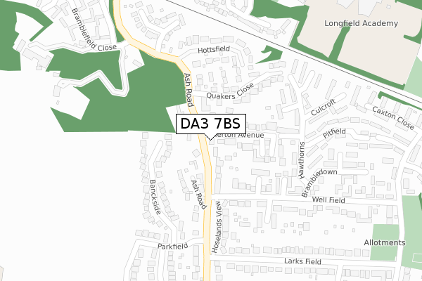
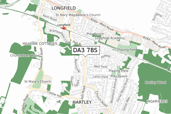
DA3 7BS maps, stats, and open data
DA3 7BS is located in the Hartley and Hodsoll Street electoral ward, within the local authority district of Sevenoaks and the English Parliamentary constituency of Dartford. The Sub Integrated Care Board (ICB) Location is NHS Kent and Medway ICB - 91Q and the police force is Kent. This postcode has been in use since January 2020.
DA3 7BS maps


Source: OS Open Zoomstack (Ordnance Survey)
Licence: Open Government Licence (requires attribution)
Attribution: Contains OS data © Crown copyright and database right 2025
Source: Open Postcode Geo
Licence: Open Government Licence (requires attribution)
Attribution: Contains OS data © Crown copyright and database right 2025; Contains Royal Mail data © Royal Mail copyright and database right 2025; Source: Office for National Statistics licensed under the Open Government Licence v.3.0
Licence: Open Government Licence (requires attribution)
Attribution: Contains OS data © Crown copyright and database right 2025
Source: Open Postcode Geo
Licence: Open Government Licence (requires attribution)
Attribution: Contains OS data © Crown copyright and database right 2025; Contains Royal Mail data © Royal Mail copyright and database right 2025; Source: Office for National Statistics licensed under the Open Government Licence v.3.0
DA3 7BS geodata
| Easting | 560446 |
| Northing | 168437 |
| Latitude | 51.392290 |
| Longitude | 0.304756 |
Where is DA3 7BS?
| Country | England |
| Postcode District | DA3 |
Politics
| Ward | Hartley And Hodsoll Street |
|---|---|
| Constituency | Dartford |
Transport
Nearest bus stops to DA3 7BS
| Larks Field (Ash Road) | Hartley | 165m |
| Larks Field (Ash Road) | Hartley | 197m |
| Well Field | Hartley | 397m |
| Well Field | Hartley | 405m |
| Railway Bridge (Ash Road) | Longfield | 455m |
Nearest railway stations to DA3 7BS
| Longfield Station | 0.5km |
| Meopham Station | 3.7km |
| Farningham Road Station | 4.9km |
Deprivation
1.8% of English postcodes are less deprived than DA3 7BS:Food Standards Agency
Three nearest food hygiene ratings to DA3 7BS (metres)
NTS Minimarket

1 The Parade
455m
Impact Food Group @ Longfield Academy

Longfield Academy
486m
Molly's Pre-School At Langafel School

Langafel Church Of England Primary School
496m
➜ Get more ratings from the Food Standards Agency
Nearest post box to DA3 7BS
| Last Collection | |||
|---|---|---|---|
| Location | Mon-Fri | Sat | Distance |
| Longfield Post Office | 16:00 | 11:00 | 510m |
| Station Road Post Office | 17:00 | 12:00 | 702m |
| Stack Lane | 17:00 | 11:15 | 770m |
DA3 7BS ITL and DA3 7BS LAU
The below table lists the International Territorial Level (ITL) codes (formerly Nomenclature of Territorial Units for Statistics (NUTS) codes) and Local Administrative Units (LAU) codes for DA3 7BS:
| ITL 1 Code | Name |
|---|---|
| TLJ | South East (England) |
| ITL 2 Code | Name |
| TLJ4 | Kent |
| ITL 3 Code | Name |
| TLJ46 | West Kent |
| LAU 1 Code | Name |
| E07000111 | Sevenoaks |
DA3 7BS census areas
The below table lists the Census Output Area (OA), Lower Layer Super Output Area (LSOA), and Middle Layer Super Output Area (MSOA) for DA3 7BS:
| Code | Name | |
|---|---|---|
| OA | E00124077 | |
| LSOA | E01024443 | Sevenoaks 004C |
| MSOA | E02005090 | Sevenoaks 004 |
Nearest postcodes to DA3 7BS
| DA3 7DZ | Ash Road | 47m |
| DA3 7EE | Ash Road | 74m |
| DA3 7DY | Ash Road | 99m |
| DA3 7EB | Merton Avenue | 105m |
| DA3 7DR | Fortuna Close | 128m |
| DA3 7EZ | Everglade Close | 140m |
| DA3 7RD | Banckside | 156m |
| DA3 7DW | Fairacre Place | 160m |
| DA3 7HW | Merryfields Close | 172m |
| DA3 7EA | Quakers Close | 178m |