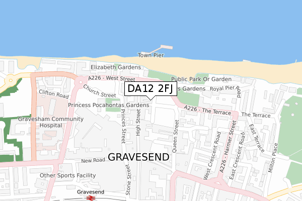
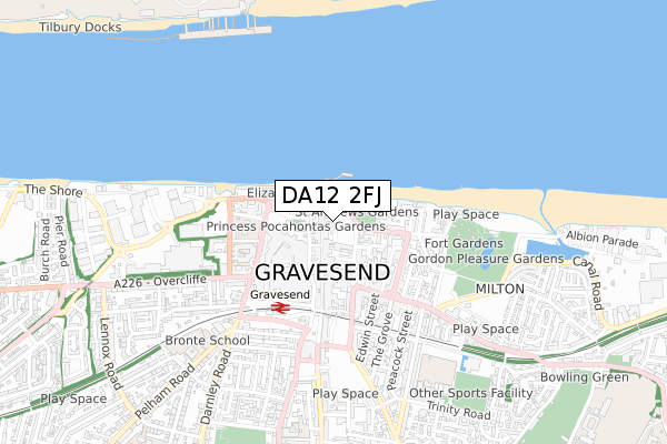
DA12 2FJ is located in the Town electoral ward, within the local authority district of Gravesham and the English Parliamentary constituency of Gravesham. The Sub Integrated Care Board (ICB) Location is NHS Kent and Medway ICB - 91Q and the police force is Kent. This postcode has been in use since September 2018.


GetTheData
Source: OS Open Zoomstack (Ordnance Survey)
Licence: Open Government Licence (requires attribution)
Attribution: Contains OS data © Crown copyright and database right 2025
Source: Open Postcode Geo
Licence: Open Government Licence (requires attribution)
Attribution: Contains OS data © Crown copyright and database right 2025; Contains Royal Mail data © Royal Mail copyright and database right 2025; Source: Office for National Statistics licensed under the Open Government Licence v.3.0
| Easting | 564803 |
| Northing | 174352 |
| Latitude | 51.444183 |
| Longitude | 0.370072 |
GetTheData
Source: Open Postcode Geo
Licence: Open Government Licence
| Country | England |
| Postcode District | DA12 |
➜ See where DA12 is on a map ➜ Where is Gravesend? | |
GetTheData
Source: Land Registry Price Paid Data
Licence: Open Government Licence
| Ward | Town |
| Constituency | Gravesham |
GetTheData
Source: ONS Postcode Database
Licence: Open Government Licence
| West Street | Gravesend | 71m |
| St George's Centre (Church Street) | Gravesend | 111m |
| St George's Centre (Church Street) | Gravesend | 117m |
| St George's Centre (Church Street) | Gravesend | 143m |
| St George's Centre (Church Street) | Gravesend | 166m |
| Gravesend Station | 0.4km |
| Tilbury Town Station | 2.3km |
| Northfleet Station | 3.2km |
GetTheData
Source: NaPTAN
Licence: Open Government Licence
| Percentage of properties with Next Generation Access | 100.0% |
| Percentage of properties with Superfast Broadband | 100.0% |
| Percentage of properties with Ultrafast Broadband | 0.0% |
| Percentage of properties with Full Fibre Broadband | 0.0% |
Superfast Broadband is between 30Mbps and 300Mbps
Ultrafast Broadband is > 300Mbps
| Percentage of properties unable to receive 2Mbps | 0.0% |
| Percentage of properties unable to receive 5Mbps | 0.0% |
| Percentage of properties unable to receive 10Mbps | 0.0% |
| Percentage of properties unable to receive 30Mbps | 0.0% |
GetTheData
Source: Ofcom
Licence: Ofcom Terms of Use (requires attribution)
GetTheData
Source: ONS Postcode Database
Licence: Open Government Licence


➜ Get more ratings from the Food Standards Agency
GetTheData
Source: Food Standards Agency
Licence: FSA terms & conditions
| Last Collection | |||
|---|---|---|---|
| Location | Mon-Fri | Sat | Distance |
| New Road Old Post Office | 18:30 | 11:00 | 222m |
| New Road Post Office | 18:30 | 12:00 | 222m |
| Whsmith | 17:15 | 12:00 | 245m |
GetTheData
Source: Dracos
Licence: Creative Commons Attribution-ShareAlike
The below table lists the International Territorial Level (ITL) codes (formerly Nomenclature of Territorial Units for Statistics (NUTS) codes) and Local Administrative Units (LAU) codes for DA12 2FJ:
| ITL 1 Code | Name |
|---|---|
| TLJ | South East (England) |
| ITL 2 Code | Name |
| TLJ4 | Kent |
| ITL 3 Code | Name |
| TLJ43 | Kent Thames Gateway |
| LAU 1 Code | Name |
| E07000109 | Gravesham |
GetTheData
Source: ONS Postcode Directory
Licence: Open Government Licence
The below table lists the Census Output Area (OA), Lower Layer Super Output Area (LSOA), and Middle Layer Super Output Area (MSOA) for DA12 2FJ:
| Code | Name | |
|---|---|---|
| OA | E00123339 | |
| LSOA | E01024295 | Gravesham 002E |
| MSOA | E02005056 | Gravesham 002 |
GetTheData
Source: ONS Postcode Directory
Licence: Open Government Licence
| DA11 0AP | High Street | 21m |
| DA11 0BQ | High Street | 40m |
| DA12 2EL | Bull Yard | 48m |
| DA11 0BA | High Street | 56m |
| DA11 0DN | Princes Street | 74m |
| DA11 0BB | High Street | 81m |
| DA11 0AZ | High Street | 121m |
| DA11 0BX | West Street | 129m |
| DA11 0AY | High Street | 131m |
| DA11 0BL | West Street | 139m |
GetTheData
Source: Open Postcode Geo; Land Registry Price Paid Data
Licence: Open Government Licence