CW8 4ZU maps, stats, and open data
CW8 4ZU is located in the Northwich Winnington & Castle electoral ward, within the unitary authority of Cheshire West and Chester and the English Parliamentary constituency of Weaver Vale. The Sub Integrated Care Board (ICB) Location is NHS Cheshire and Merseyside ICB - 27D and the police force is Cheshire. This postcode has been in use since September 2019.
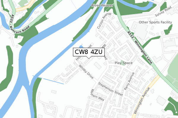
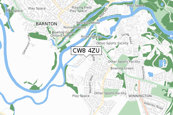
CW8 4ZU maps


Licence: Open Government Licence (requires attribution)
Attribution: Contains OS data © Crown copyright and database right 2025
Source: Open Postcode Geo
Licence: Open Government Licence (requires attribution)
Attribution: Contains OS data © Crown copyright and database right 2025; Contains Royal Mail data © Royal Mail copyright and database right 2025; Source: Office for National Statistics licensed under the Open Government Licence v.3.0
CW8 4ZU geodata
| Easting | 364044 |
| Northing | 374486 |
| Latitude | 53.266156 |
| Longitude | -2.540540 |
Where is CW8 4ZU?
| Country | England |
| Postcode District | CW8 |
Politics
| Ward | Northwich Winnington & Castle |
|---|---|
| Constituency | Weaver Vale |
House Prices
Sales of detached houses in CW8 4ZU
WISTERIA EDGE, 3, MILLER CLOSE, NORTHWICH, CW8 4ZU 2025 4 JUL £380,000 |
9, MILLER CLOSE, NORTHWICH, CW8 4ZU 2019 5 DEC £238,995 |
3, MILLER CLOSE, NORTHWICH, CW8 4ZU 2019 29 NOV £295,995 |
12, MILLER CLOSE, NORTHWICH, CW8 4ZU 2019 15 NOV £238,995 |
Licence: Contains HM Land Registry data © Crown copyright and database right 2025. This data is licensed under the Open Government Licence v3.0.
Transport
Nearest bus stops to CW8 4ZU
| Wallerscote Works (Winnington Lane) | Winnington | 265m |
| Wallerscote Works (Winnington Lane) | Winnington | 277m |
| Old Red Lion Ph (Runcorn Road) | Barnton | 358m |
| Old Red Lion Ph (Runcorn Road) | Barnton | 373m |
| Garden Centre (Winnington Lane) | Winnington | 480m |
Nearest railway stations to CW8 4ZU
| Greenbank Station | 1.7km |
| Hartford Station | 2.8km |
| Northwich Station | 3km |
Broadband
Broadband access in CW8 4ZU (2020 data)
| Percentage of properties with Next Generation Access | 100.0% |
| Percentage of properties with Superfast Broadband | 100.0% |
| Percentage of properties with Ultrafast Broadband | 100.0% |
| Percentage of properties with Full Fibre Broadband | 100.0% |
Superfast Broadband is between 30Mbps and 300Mbps
Ultrafast Broadband is > 300Mbps
Broadband limitations in CW8 4ZU (2020 data)
| Percentage of properties unable to receive 2Mbps | 0.0% |
| Percentage of properties unable to receive 5Mbps | 0.0% |
| Percentage of properties unable to receive 10Mbps | 0.0% |
| Percentage of properties unable to receive 30Mbps | 0.0% |
Deprivation
33.8% of English postcodes are less deprived than CW8 4ZU:Food Standards Agency
Three nearest food hygiene ratings to CW8 4ZU (metres)


➜ Get more ratings from the Food Standards Agency
Nearest post box to CW8 4ZU
| Last Collection | |||
|---|---|---|---|
| Location | Mon-Fri | Sat | Distance |
| Barnton So | 17:30 | 11:30 | 736m |
| Broomfield Lane | 17:30 | 11:30 | 1,656m |
| Winnington Hill | 17:45 | 11:00 | 1,804m |
CW8 4ZU ITL and CW8 4ZU LAU
The below table lists the International Territorial Level (ITL) codes (formerly Nomenclature of Territorial Units for Statistics (NUTS) codes) and Local Administrative Units (LAU) codes for CW8 4ZU:
| ITL 1 Code | Name |
|---|---|
| TLD | North West (England) |
| ITL 2 Code | Name |
| TLD6 | Cheshire |
| ITL 3 Code | Name |
| TLD63 | Cheshire West and Chester |
| LAU 1 Code | Name |
| E06000050 | Cheshire West and Chester |
CW8 4ZU census areas
The below table lists the Census Output Area (OA), Lower Layer Super Output Area (LSOA), and Middle Layer Super Output Area (MSOA) for CW8 4ZU:
| Code | Name | |
|---|---|---|
| OA | E00094461 | |
| LSOA | E01018713 | Cheshire West and Chester 018A |
| MSOA | E02003879 | Cheshire West and Chester 018 |
Nearest postcodes to CW8 4ZU
| CW8 4UD | Walker Road | 108m |
| CW8 4UB | Arnold Court | 183m |
| CW8 4SQ | Stephenson Street | 192m |
| CW8 4YP | Muskett Drive | 208m |
| CW8 4RF | Parry Avenue | 242m |
| CW8 4US | Littler Close | 249m |
| CW8 4SG | Hulme Drive | 261m |
| CW8 4QN | Armitage Way | 295m |
| CW8 4SF | Starkey Close | 298m |
| CW8 4TA | Austin Drive | 327m |