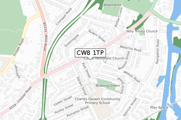
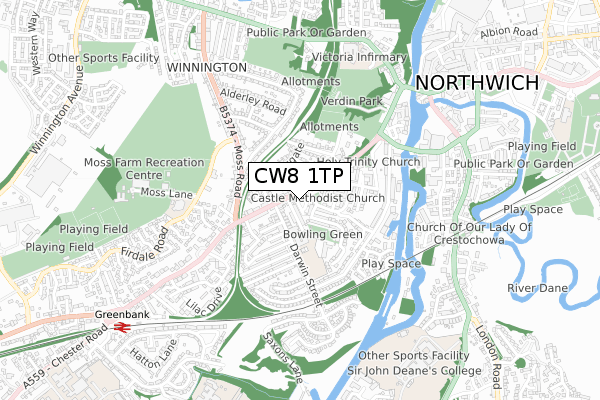
CW8 1TP is located in the Northwich Winnington & Castle electoral ward, within the unitary authority of Cheshire West and Chester and the English Parliamentary constituency of Weaver Vale. The Sub Integrated Care Board (ICB) Location is NHS Cheshire and Merseyside ICB - 27D and the police force is Cheshire. This postcode has been in use since January 2020.


GetTheData
Source: OS Open Zoomstack (Ordnance Survey)
Licence: Open Government Licence (requires attribution)
Attribution: Contains OS data © Crown copyright and database right 2025
Source: Open Postcode Geo
Licence: Open Government Licence (requires attribution)
Attribution: Contains OS data © Crown copyright and database right 2025; Contains Royal Mail data © Royal Mail copyright and database right 2025; Source: Office for National Statistics licensed under the Open Government Licence v.3.0
| Easting | 365207 |
| Northing | 373376 |
| Latitude | 53.256257 |
| Longitude | -2.522982 |
GetTheData
Source: Open Postcode Geo
Licence: Open Government Licence
| Country | England |
| Postcode District | CW8 |
➜ See where CW8 is on a map ➜ Where is Northwich? | |
GetTheData
Source: Land Registry Price Paid Data
Licence: Open Government Licence
| Ward | Northwich Winnington & Castle |
| Constituency | Weaver Vale |
GetTheData
Source: ONS Postcode Database
Licence: Open Government Licence
| Castle Court (Chester Road) | Northwich | 43m |
| Beeston Street (Chester Road) | Northwich | 80m |
| Surgery (Darwin Street) | Northwich | 99m |
| Surgery (Darwin Street) | Northwich | 115m |
| Blue Barrel (Chester Road) | Northwich | 128m |
| Greenbank Station | 0.9km |
| Northwich Station | 1.8km |
| Hartford Station | 2.6km |
GetTheData
Source: NaPTAN
Licence: Open Government Licence
GetTheData
Source: ONS Postcode Database
Licence: Open Government Licence


➜ Get more ratings from the Food Standards Agency
GetTheData
Source: Food Standards Agency
Licence: FSA terms & conditions
| Last Collection | |||
|---|---|---|---|
| Location | Mon-Fri | Sat | Distance |
| Winnington Hill | 17:45 | 11:00 | 809m |
| Hartford Road | 17:30 | 08:00 | 816m |
| London Road | 17:30 | 11:00 | 1,105m |
GetTheData
Source: Dracos
Licence: Creative Commons Attribution-ShareAlike
The below table lists the International Territorial Level (ITL) codes (formerly Nomenclature of Territorial Units for Statistics (NUTS) codes) and Local Administrative Units (LAU) codes for CW8 1TP:
| ITL 1 Code | Name |
|---|---|
| TLD | North West (England) |
| ITL 2 Code | Name |
| TLD6 | Cheshire |
| ITL 3 Code | Name |
| TLD63 | Cheshire West and Chester |
| LAU 1 Code | Name |
| E06000050 | Cheshire West and Chester |
GetTheData
Source: ONS Postcode Directory
Licence: Open Government Licence
The below table lists the Census Output Area (OA), Lower Layer Super Output Area (LSOA), and Middle Layer Super Output Area (MSOA) for CW8 1TP:
| Code | Name | |
|---|---|---|
| OA | E00094447 | |
| LSOA | E01018709 | Cheshire West and Chester 020A |
| MSOA | E02003881 | Cheshire West and Chester 020 |
GetTheData
Source: ONS Postcode Directory
Licence: Open Government Licence
| CW8 1HA | Chester Road | 39m |
| CW8 1HQ | Park Street | 56m |
| CW8 1HD | Chapel Street | 56m |
| CW8 1HG | Chester Road | 71m |
| CW8 1JD | Chester Road | 83m |
| CW8 1TA | Castle Court | 88m |
| CW8 1JB | Chester Road | 94m |
| CW8 1HB | Beeston Street | 113m |
| CW8 1HY | Hope Street | 119m |
| CW8 1EW | Peckforton Way | 127m |
GetTheData
Source: Open Postcode Geo; Land Registry Price Paid Data
Licence: Open Government Licence