CV9 2FJ maps, stats, and open data
- Home
- Postcode
- CV
- CV9
- CV9 2
CV9 2FJ is located in the Atherstone Central electoral ward, within the local authority district of North Warwickshire and the English Parliamentary constituency of North Warwickshire. The Sub Integrated Care Board (ICB) Location is NHS Coventry and Warwickshire ICB - B2M3M and the police force is Warwickshire. This postcode has been in use since October 2018.
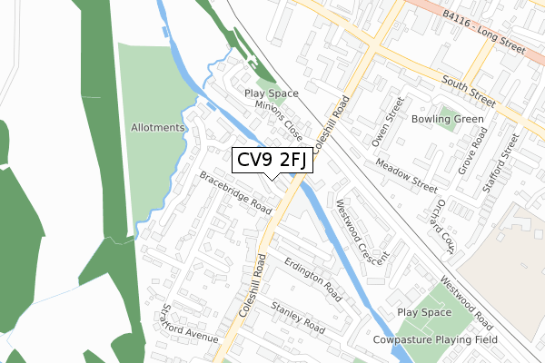
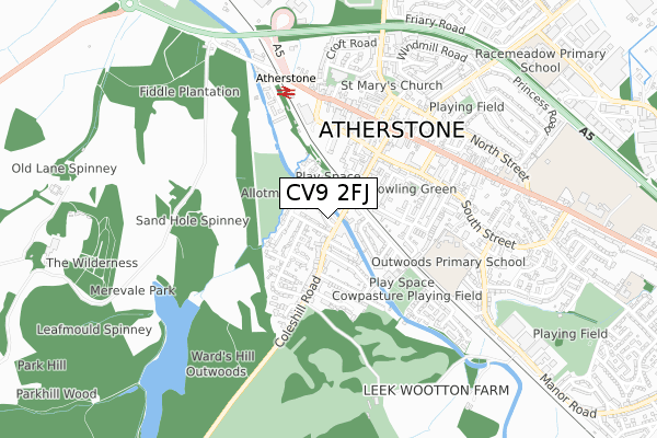
CV9 2FJ maps


Source: OS Open Zoomstack (Ordnance Survey)
Licence: Open Government Licence (requires attribution)
Attribution: Contains OS data © Crown copyright and database right 2025
Source: Open Postcode GeoLicence: Open Government Licence (requires attribution)
Attribution: Contains OS data © Crown copyright and database right 2025; Contains Royal Mail data © Royal Mail copyright and database right 2025; Source: Office for National Statistics licensed under the Open Government Licence v.3.0
CV9 2FJ geodata
| Easting | 430592 |
| Northing | 297466 |
| Latitude | 52.574176 |
| Longitude | -1.550018 |
Where is CV9 2FJ?
| Country | England |
| Postcode District | CV9 |
Politics
| Ward | Atherstone Central |
|---|
| Constituency | North Warwickshire |
|---|
Transport
Nearest bus stops to CV9 2FJ
| Erdington Road (Coleshill Road) | Atherstone | 120m |
| Stanley Road (Coleshill Road) | Atherstone | 177m |
| Milliners Court (Coleshill Road) | Atherstone | 224m |
| Ambien Road (Coleshill Road) | Atherstone | 304m |
| Woolpack Way (South Street) | Atherstone | 360m |
Nearest railway stations to CV9 2FJ
Broadband
Broadband access in CV9 2FJ (2020 data)
| Percentage of properties with Next Generation Access | 100.0% |
| Percentage of properties with Superfast Broadband | 100.0% |
| Percentage of properties with Ultrafast Broadband | 0.0% |
| Percentage of properties with Full Fibre Broadband | 0.0% |
Superfast Broadband is between 30Mbps and 300Mbps
Ultrafast Broadband is > 300Mbps
Broadband speed in CV9 2FJ (2019 data)
Download
| Median download speed | 55.0Mbps |
| Average download speed | 46.9Mbps |
| Maximum download speed | 73.03Mbps |
Upload
| Median upload speed | 10.0Mbps |
| Average upload speed | 9.9Mbps |
| Maximum upload speed | 18.45Mbps |
Broadband limitations in CV9 2FJ (2020 data)
| Percentage of properties unable to receive 2Mbps | 0.0% |
| Percentage of properties unable to receive 5Mbps | 0.0% |
| Percentage of properties unable to receive 10Mbps | 0.0% |
| Percentage of properties unable to receive 30Mbps | 0.0% |
Deprivation
56.2% of English postcodes are less deprived than
CV9 2FJ:
Food Standards Agency
Three nearest food hygiene ratings to CV9 2FJ (metres)
Maid Of The Mill
Coleshill Road Chip Shop
COLESHILL ROAD POST OFFICE
➜ Get more ratings from the Food Standards Agency
Nearest post box to CV9 2FJ
| | Last Collection | |
|---|
| Location | Mon-Fri | Sat | Distance |
|---|
| Coleshill Road Post Office | 18:15 | 12:00 | 82m |
| Atherstone | 18:45 | 12:15 | 347m |
| Atherstone Delivery Office | 18:45 | 12:15 | 347m |
CV9 2FJ ITL and CV9 2FJ LAU
The below table lists the International Territorial Level (ITL) codes (formerly Nomenclature of Territorial Units for Statistics (NUTS) codes) and Local Administrative Units (LAU) codes for CV9 2FJ:
| ITL 1 Code | Name |
|---|
| TLG | West Midlands (England) |
| ITL 2 Code | Name |
|---|
| TLG1 | Herefordshire, Worcestershire and Warwickshire |
| ITL 3 Code | Name |
|---|
| TLG13 | Warwickshire CC |
| LAU 1 Code | Name |
|---|
| E07000218 | North Warwickshire |
CV9 2FJ census areas
The below table lists the Census Output Area (OA), Lower Layer Super Output Area (LSOA), and Middle Layer Super Output Area (MSOA) for CV9 2FJ:
| Code | Name |
|---|
| OA | E00158072 | |
|---|
| LSOA | E01031009 | North Warwickshire 003A |
|---|
| MSOA | E02006470 | North Warwickshire 003 |
|---|
Nearest postcodes to CV9 2FJ


