CV34 6NX maps, stats, and open data
- Home
- Postcode
- CV
- CV34
- CV34 6
CV34 6NX is located in the Warwick Myton & Heathcote electoral ward, within the local authority district of Warwick and the English Parliamentary constituency of Warwick and Leamington. The Sub Integrated Care Board (ICB) Location is NHS Coventry and Warwickshire ICB - B2M3M and the police force is Warwickshire. This postcode has been in use since January 2019.
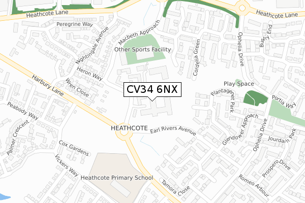
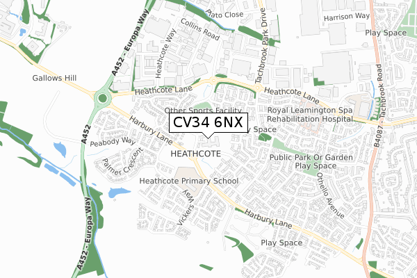
CV34 6NX maps


Source: OS Open Zoomstack (Ordnance Survey)
Licence: Open Government Licence (requires attribution)
Attribution: Contains OS data © Crown copyright and database right 2025
Source: Open Postcode GeoLicence: Open Government Licence (requires attribution)
Attribution: Contains OS data © Crown copyright and database right 2025; Contains Royal Mail data © Royal Mail copyright and database right 2025; Source: Office for National Statistics licensed under the Open Government Licence v.3.0
CV34 6NX geodata
| Easting | 430851 |
| Northing | 263368 |
| Latitude | 52.267625 |
| Longitude | -1.549329 |
Where is CV34 6NX?
| Country | England |
| Postcode District | CV34 |
Politics
| Ward | Warwick Myton & Heathcote |
|---|
| Constituency | Warwick And Leamington |
|---|
Transport
Nearest bus stops to CV34 6NX
| Earl Rivers Avenue | Warwick Gates | 87m |
| Earl Rivers Avenue (Harbury Lane) | Warwick Gates | 224m |
| Earl Rivers Avenue (Harbury Lane) | Warwick Gates | 234m |
| Falstaff Grove (Ophelia Way) | Warwick Gates | 366m |
| Jourdain Park (Ophelia Drive) | Warwick Gates | 381m |
Nearest railway stations to CV34 6NX
| Leamington Spa Station | 2.1km |
| Warwick Station | 3.1km |
| Warwick Parkway Station | 4.7km |
Broadband
Broadband access in CV34 6NX (2020 data)
| Percentage of properties with Next Generation Access | 100.0% |
| Percentage of properties with Superfast Broadband | 100.0% |
| Percentage of properties with Ultrafast Broadband | 0.0% |
| Percentage of properties with Full Fibre Broadband | 0.0% |
Superfast Broadband is between 30Mbps and 300Mbps
Ultrafast Broadband is > 300Mbps
Broadband limitations in CV34 6NX (2020 data)
| Percentage of properties unable to receive 2Mbps | 0.0% |
| Percentage of properties unable to receive 5Mbps | 0.0% |
| Percentage of properties unable to receive 10Mbps | 0.0% |
| Percentage of properties unable to receive 30Mbps | 0.0% |
Deprivation
3.5% of English postcodes are less deprived than
CV34 6NX:
Food Standards Agency
Three nearest food hygiene ratings to CV34 6NX (metres)
The Dining Room and Erics T/A Austin Heath
Thomas Franks Ltd at Wolseley
Nuffield Health, Fitness & Wellbeing Centre
➜ Get more ratings from the Food Standards Agency
Nearest post box to CV34 6NX
| | Last Collection | |
|---|
| Location | Mon-Fri | Sat | Distance |
|---|
| Romeo Arbour | 17:00 | 10:30 | 402m |
| Heathcote Way | 18:30 | 07:30 | 494m |
| Collins Road Business Box | | | 611m |
CV34 6NX ITL and CV34 6NX LAU
The below table lists the International Territorial Level (ITL) codes (formerly Nomenclature of Territorial Units for Statistics (NUTS) codes) and Local Administrative Units (LAU) codes for CV34 6NX:
| ITL 1 Code | Name |
|---|
| TLG | West Midlands (England) |
| ITL 2 Code | Name |
|---|
| TLG1 | Herefordshire, Worcestershire and Warwickshire |
| ITL 3 Code | Name |
|---|
| TLG13 | Warwickshire CC |
| LAU 1 Code | Name |
|---|
| E07000222 | Warwick |
CV34 6NX census areas
The below table lists the Census Output Area (OA), Lower Layer Super Output Area (LSOA), and Middle Layer Super Output Area (MSOA) for CV34 6NX:
| Code | Name |
|---|
| OA | E00159698 | |
|---|
| LSOA | E01031318 | Warwick 012D |
|---|
| MSOA | E02006530 | Warwick 012 |
|---|
Nearest postcodes to CV34 6NX


