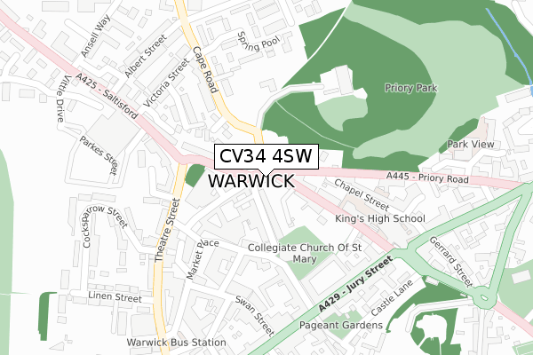
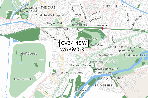
CV34 4SW is located in the Warwick Saltisford electoral ward, within the local authority district of Warwick and the English Parliamentary constituency of Warwick and Leamington. The Sub Integrated Care Board (ICB) Location is NHS Coventry and Warwickshire ICB - B2M3M and the police force is Warwickshire. This postcode has been in use since October 2017.


GetTheData
Source: OS Open Zoomstack (Ordnance Survey)
Licence: Open Government Licence (requires attribution)
Attribution: Contains OS data © Crown copyright and database right 2025
Source: Open Postcode Geo
Licence: Open Government Licence (requires attribution)
Attribution: Contains OS data © Crown copyright and database right 2025; Contains Royal Mail data © Royal Mail copyright and database right 2025; Source: Office for National Statistics licensed under the Open Government Licence v.3.0
| Easting | 428148 |
| Northing | 265120 |
| Latitude | 52.283520 |
| Longitude | -1.588790 |
GetTheData
Source: Open Postcode Geo
Licence: Open Government Licence
| Country | England |
| Postcode District | CV34 |
➜ See where CV34 is on a map ➜ Where is Warwick? | |
GetTheData
Source: Land Registry Price Paid Data
Licence: Open Government Licence
| Ward | Warwick Saltisford |
| Constituency | Warwick And Leamington |
GetTheData
Source: ONS Postcode Database
Licence: Open Government Licence
| Northgate Methodist Church (North Rock) | Warwick | 58m |
| Clinic (Cape Road) | Warwick | 165m |
| Priory Mews (Cape Road) | Warwick | 180m |
| Kings Head (Saltisford) | Warwick | 185m |
| Kings High School (The Butts) | Warwick | 228m |
| Warwick Station | 0.6km |
| Warwick Parkway Station | 1.6km |
| Leamington Spa Station | 3.6km |
GetTheData
Source: NaPTAN
Licence: Open Government Licence
| Percentage of properties with Next Generation Access | 100.0% |
| Percentage of properties with Superfast Broadband | 100.0% |
| Percentage of properties with Ultrafast Broadband | 66.7% |
| Percentage of properties with Full Fibre Broadband | 0.0% |
Superfast Broadband is between 30Mbps and 300Mbps
Ultrafast Broadband is > 300Mbps
| Percentage of properties unable to receive 2Mbps | 0.0% |
| Percentage of properties unable to receive 5Mbps | 0.0% |
| Percentage of properties unable to receive 10Mbps | 0.0% |
| Percentage of properties unable to receive 30Mbps | 0.0% |
GetTheData
Source: Ofcom
Licence: Ofcom Terms of Use (requires attribution)
GetTheData
Source: ONS Postcode Database
Licence: Open Government Licence


➜ Get more ratings from the Food Standards Agency
GetTheData
Source: Food Standards Agency
Licence: FSA terms & conditions
| Last Collection | |||
|---|---|---|---|
| Location | Mon-Fri | Sat | Distance |
| Shire Hall | 19:00 | 12:30 | 140m |
| Shire Hall | 19:00 | 12:30 | 141m |
| Victoria Street | 19:00 | 11:15 | 265m |
GetTheData
Source: Dracos
Licence: Creative Commons Attribution-ShareAlike
The below table lists the International Territorial Level (ITL) codes (formerly Nomenclature of Territorial Units for Statistics (NUTS) codes) and Local Administrative Units (LAU) codes for CV34 4SW:
| ITL 1 Code | Name |
|---|---|
| TLG | West Midlands (England) |
| ITL 2 Code | Name |
| TLG1 | Herefordshire, Worcestershire and Warwickshire |
| ITL 3 Code | Name |
| TLG13 | Warwickshire CC |
| LAU 1 Code | Name |
| E07000222 | Warwick |
GetTheData
Source: ONS Postcode Directory
Licence: Open Government Licence
The below table lists the Census Output Area (OA), Lower Layer Super Output Area (LSOA), and Middle Layer Super Output Area (MSOA) for CV34 4SW:
| Code | Name | |
|---|---|---|
| OA | E00159709 | |
| LSOA | E01031323 | Warwick 011C |
| MSOA | E02006529 | Warwick 011 |
GetTheData
Source: ONS Postcode Directory
Licence: Open Government Licence
| CV34 4SS | The Butts | 83m |
| CV34 4LB | Priory Mews | 128m |
| CV34 4TA | Saltisford | 132m |
| CV34 4RA | Old Square | 155m |
| CV34 4TH | Barrack Street | 167m |
| CV34 4QT | Taylor Court | 181m |
| CV34 4RX | New Street | 183m |
| CV34 4JU | Edward Street | 193m |
| CV34 4HL | Chapel Street | 194m |
| CV34 4SG | West Rock | 195m |
GetTheData
Source: Open Postcode Geo; Land Registry Price Paid Data
Licence: Open Government Licence