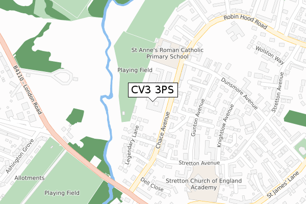
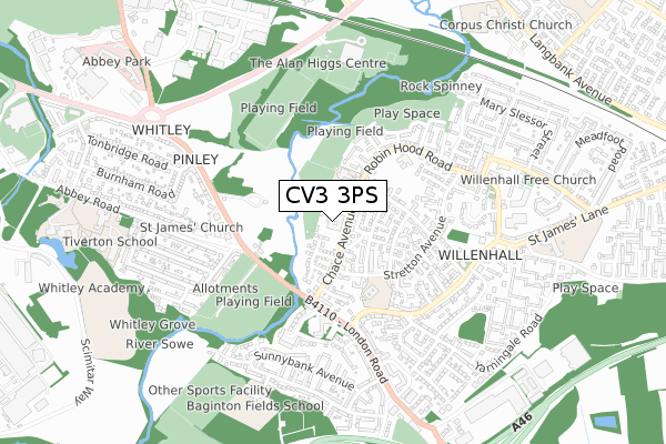
CV3 3PS is located in the Binley and Willenhall electoral ward, within the metropolitan district of Coventry and the English Parliamentary constituency of Coventry South. The Sub Integrated Care Board (ICB) Location is NHS Coventry and Warwickshire ICB - B2M3M and the police force is West Midlands. This postcode has been in use since April 2019.


GetTheData
Source: OS Open Zoomstack (Ordnance Survey)
Licence: Open Government Licence (requires attribution)
Attribution: Contains OS data © Crown copyright and database right 2025
Source: Open Postcode Geo
Licence: Open Government Licence (requires attribution)
Attribution: Contains OS data © Crown copyright and database right 2025; Contains Royal Mail data © Royal Mail copyright and database right 2025; Source: Office for National Statistics licensed under the Open Government Licence v.3.0
| Easting | 436010 |
| Northing | 276654 |
| Latitude | 52.386754 |
| Longitude | -1.472317 |
GetTheData
Source: Open Postcode Geo
Licence: Open Government Licence
| Country | England |
| Postcode District | CV3 |
➜ See where CV3 is on a map ➜ Where is Coventry? | |
GetTheData
Source: Land Registry Price Paid Data
Licence: Open Government Licence
| Ward | Binley And Willenhall |
| Constituency | Coventry South |
GetTheData
Source: ONS Postcode Database
Licence: Open Government Licence
| Chace Ave Police Station (Chace Ave) | Willenhall | 60m |
| Stretton Avenue (Chace Ave) | Willenhall | 153m |
| Stretton Avenue (Chace Ave) | Willenhall | 165m |
| Chace Avenue (Dunsmore Avenue) | Willenhall | 195m |
| Knightlow Avenue (Dunsmore Avenue) | Willenhall | 270m |
| Coventry Station | 3.2km |
GetTheData
Source: NaPTAN
Licence: Open Government Licence
GetTheData
Source: ONS Postcode Database
Licence: Open Government Licence


➜ Get more ratings from the Food Standards Agency
GetTheData
Source: Food Standards Agency
Licence: FSA terms & conditions
| Last Collection | |||
|---|---|---|---|
| Location | Mon-Fri | Sat | Distance |
| Meadfoot Road | 17:00 | 11:15 | 974m |
| Siskin Drive | 16:30 | 10:00 | 1,626m |
| Chatsworth Rise | 18:45 | 10:45 | 1,746m |
GetTheData
Source: Dracos
Licence: Creative Commons Attribution-ShareAlike
The below table lists the International Territorial Level (ITL) codes (formerly Nomenclature of Territorial Units for Statistics (NUTS) codes) and Local Administrative Units (LAU) codes for CV3 3PS:
| ITL 1 Code | Name |
|---|---|
| TLG | West Midlands (England) |
| ITL 2 Code | Name |
| TLG3 | West Midlands |
| ITL 3 Code | Name |
| TLG33 | Coventry |
| LAU 1 Code | Name |
| E08000026 | Coventry |
GetTheData
Source: ONS Postcode Directory
Licence: Open Government Licence
The below table lists the Census Output Area (OA), Lower Layer Super Output Area (LSOA), and Middle Layer Super Output Area (MSOA) for CV3 3PS:
| Code | Name | |
|---|---|---|
| OA | E00172190 | |
| LSOA | E01009542 | Coventry 039D |
| MSOA | E02001996 | Coventry 039 |
GetTheData
Source: ONS Postcode Directory
Licence: Open Government Licence
| CV3 3JD | Joe Obrien Close | 102m |
| CV3 3JG | Chace Avenue | 123m |
| CV3 3AF | Gunton Avenue | 145m |
| CV3 3HR | Simpson Grove | 145m |
| CV3 3JF | Dunsmore Avenue | 181m |
| CV3 3AD | Chace Avenue | 182m |
| CV3 3JB | Goodwood Close | 206m |
| CV3 3HD | Dunsmore Avenue | 221m |
| CV3 3AE | Stretton Avenue | 223m |
| CV3 3AP | Capulet Close | 270m |
GetTheData
Source: Open Postcode Geo; Land Registry Price Paid Data
Licence: Open Government Licence