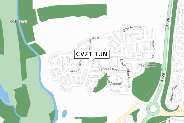
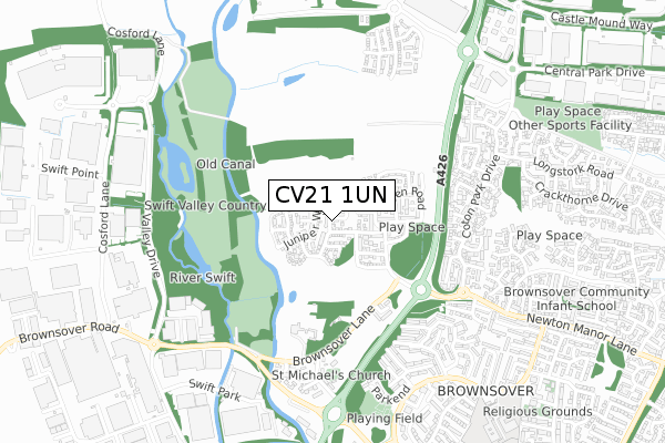
CV21 1UN is located in the Coton and Boughton electoral ward, within the local authority district of Rugby and the English Parliamentary constituency of Rugby. The Sub Integrated Care Board (ICB) Location is NHS Coventry and Warwickshire ICB - B2M3M and the police force is Warwickshire. This postcode has been in use since April 2020.


GetTheData
Source: OS Open Zoomstack (Ordnance Survey)
Licence: Open Government Licence (requires attribution)
Attribution: Contains OS data © Crown copyright and database right 2025
Source: Open Postcode Geo
Licence: Open Government Licence (requires attribution)
Attribution: Contains OS data © Crown copyright and database right 2025; Contains Royal Mail data © Royal Mail copyright and database right 2025; Source: Office for National Statistics licensed under the Open Government Licence v.3.0
| Easting | 450864 |
| Northing | 277948 |
| Latitude | 52.397211 |
| Longitude | -1.253883 |
GetTheData
Source: Open Postcode Geo
Licence: Open Government Licence
| Country | England |
| Postcode District | CV21 |
➜ See where CV21 is on a map ➜ Where is Rugby? | |
GetTheData
Source: Land Registry Price Paid Data
Licence: Open Government Licence
| Ward | Coton And Boughton |
| Constituency | Rugby |
GetTheData
Source: ONS Postcode Database
Licence: Open Government Licence
| Fieldfare Close (Coton Park Drive) | Rugby | 502m |
| Merlin Close (Coton Park Drive) | Rugby | 509m |
| Parkend (Leicester Road) | Brownsover | 627m |
| Coten Park Drive (Newton Manor Lane) | Brownsover | 653m |
| Avocet Close (Coton Park Drive) | Rugby | 687m |
| Rugby Station | 2km |
GetTheData
Source: NaPTAN
Licence: Open Government Licence
GetTheData
Source: ONS Postcode Database
Licence: Open Government Licence


➜ Get more ratings from the Food Standards Agency
GetTheData
Source: Food Standards Agency
Licence: FSA terms & conditions
| Last Collection | |||
|---|---|---|---|
| Location | Mon-Fri | Sat | Distance |
| Star Farm | 17:30 | 12:30 | 535m |
| Hollowell Way | 17:00 | 12:00 | 697m |
| The Local Centre | 16:00 | 11:00 | 763m |
GetTheData
Source: Dracos
Licence: Creative Commons Attribution-ShareAlike
The below table lists the International Territorial Level (ITL) codes (formerly Nomenclature of Territorial Units for Statistics (NUTS) codes) and Local Administrative Units (LAU) codes for CV21 1UN:
| ITL 1 Code | Name |
|---|---|
| TLG | West Midlands (England) |
| ITL 2 Code | Name |
| TLG1 | Herefordshire, Worcestershire and Warwickshire |
| ITL 3 Code | Name |
| TLG13 | Warwickshire CC |
| LAU 1 Code | Name |
| E07000220 | Rugby |
GetTheData
Source: ONS Postcode Directory
Licence: Open Government Licence
The below table lists the Census Output Area (OA), Lower Layer Super Output Area (LSOA), and Middle Layer Super Output Area (MSOA) for CV21 1UN:
| Code | Name | |
|---|---|---|
| OA | E00168343 | |
| LSOA | E01032892 | Rugby 001G |
| MSOA | E02006492 | Rugby 001 |
GetTheData
Source: ONS Postcode Directory
Licence: Open Government Licence
| CV21 1UF | Magnolia Avenue | 67m |
| CV21 1SA | Cypress Road | 86m |
| CV21 1RF | Hawthorn Close | 117m |
| CV21 1RQ | Swift Avenue | 169m |
| CV21 1NU | Lower Lodge Avenue | 176m |
| CV21 1RB | Hornbeam Close | 196m |
| CV21 1PW | Blackthorn Close | 226m |
| CV21 1TE | Elder Avenue | 240m |
| CV21 1SJ | Aspen Walk | 254m |
| CV21 1SF | Aspen Road | 260m |
GetTheData
Source: Open Postcode Geo; Land Registry Price Paid Data
Licence: Open Government Licence