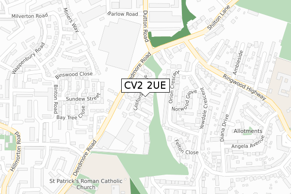
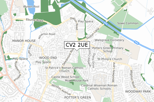
CV2 2UE is located in the Henley electoral ward, within the metropolitan district of Coventry and the English Parliamentary constituency of Coventry North East. The Sub Integrated Care Board (ICB) Location is NHS Coventry and Warwickshire ICB - B2M3M and the police force is West Midlands. This postcode has been in use since February 2020.


GetTheData
Source: OS Open Zoomstack (Ordnance Survey)
Licence: Open Government Licence (requires attribution)
Attribution: Contains OS data © Crown copyright and database right 2025
Source: Open Postcode Geo
Licence: Open Government Licence (requires attribution)
Attribution: Contains OS data © Crown copyright and database right 2025; Contains Royal Mail data © Royal Mail copyright and database right 2025; Source: Office for National Statistics licensed under the Open Government Licence v.3.0
| Easting | 436985 |
| Northing | 282546 |
| Latitude | 52.439657 |
| Longitude | -1.457344 |
GetTheData
Source: Open Postcode Geo
Licence: Open Government Licence
| Country | England |
| Postcode District | CV2 |
➜ See where CV2 is on a map ➜ Where is Coventry? | |
GetTheData
Source: Land Registry Price Paid Data
Licence: Open Government Licence
| Ward | Henley |
| Constituency | Coventry North East |
GetTheData
Source: ONS Postcode Database
Licence: Open Government Licence
| Shirebrook Close (Deedmore Rd) | Wood End | 135m |
| Shirebrook Close (Deedmore Rd) | Wood End | 141m |
| Deedmore Rd (Ringwood Highway) | Potters Green | 228m |
| Deedmore Rd (Ringwood Highway) | Potters Green | 240m |
| The Boat Inn (Shilton Lane) | Potters Green | 417m |
| Coventry Arena Station | 2.7km |
| Bedworth Station | 4.5km |
| Coventry Station | 5.8km |
GetTheData
Source: NaPTAN
Licence: Open Government Licence
GetTheData
Source: ONS Postcode Database
Licence: Open Government Licence


➜ Get more ratings from the Food Standards Agency
GetTheData
Source: Food Standards Agency
Licence: FSA terms & conditions
| Last Collection | |||
|---|---|---|---|
| Location | Mon-Fri | Sat | Distance |
| Hillmorton Road Post Office | 18:15 | 11:30 | 450m |
| Hillmorton Road | 16:30 | 11:30 | 664m |
| Broad Park Road Post Office | 18:00 | 11:30 | 996m |
GetTheData
Source: Dracos
Licence: Creative Commons Attribution-ShareAlike
The below table lists the International Territorial Level (ITL) codes (formerly Nomenclature of Territorial Units for Statistics (NUTS) codes) and Local Administrative Units (LAU) codes for CV2 2UE:
| ITL 1 Code | Name |
|---|---|
| TLG | West Midlands (England) |
| ITL 2 Code | Name |
| TLG3 | West Midlands |
| ITL 3 Code | Name |
| TLG33 | Coventry |
| LAU 1 Code | Name |
| E08000026 | Coventry |
GetTheData
Source: ONS Postcode Directory
Licence: Open Government Licence
The below table lists the Census Output Area (OA), Lower Layer Super Output Area (LSOA), and Middle Layer Super Output Area (MSOA) for CV2 2UE:
| Code | Name | |
|---|---|---|
| OA | E00048487 | |
| LSOA | E01009586 | Coventry 008E |
| MSOA | E02001965 | Coventry 008 |
GetTheData
Source: ONS Postcode Directory
Licence: Open Government Licence
| CV2 2FP | Orion Crescent | 64m |
| CV2 2AA | Deedmore Road | 81m |
| CV2 2FQ | Orion Crescent | 98m |
| CV2 2FR | Norwood Grove | 120m |
| CV2 2NH | Laurel Close | 152m |
| CV2 1EQ | Alpha Business Park | 169m |
| CV2 2FS | Yewdale Crescent | 174m |
| CV2 1UB | Shire Brook Close | 176m |
| CV2 2FJ | Felton Close | 189m |
| CV2 1SY | Sundew Street | 196m |
GetTheData
Source: Open Postcode Geo; Land Registry Price Paid Data
Licence: Open Government Licence