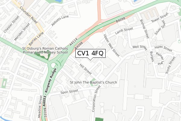
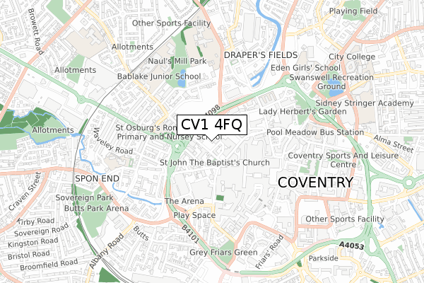
CV1 4FQ is located in the St Michael's electoral ward, within the metropolitan district of Coventry and the English Parliamentary constituency of Coventry South. The Sub Integrated Care Board (ICB) Location is NHS Coventry and Warwickshire ICB - B2M3M and the police force is West Midlands. This postcode has been in use since September 2017.


GetTheData
Source: OS Open Zoomstack (Ordnance Survey)
Licence: Open Government Licence (requires attribution)
Attribution: Contains OS data © Crown copyright and database right 2025
Source: Open Postcode Geo
Licence: Open Government Licence (requires attribution)
Attribution: Contains OS data © Crown copyright and database right 2025; Contains Royal Mail data © Royal Mail copyright and database right 2025; Source: Office for National Statistics licensed under the Open Government Licence v.3.0
| Easting | 433033 |
| Northing | 279209 |
| Latitude | 52.409909 |
| Longitude | -1.515806 |
GetTheData
Source: Open Postcode Geo
Licence: Open Government Licence
| Country | England |
| Postcode District | CV1 |
➜ See where CV1 is on a map ➜ Where is Coventry? | |
GetTheData
Source: Land Registry Price Paid Data
Licence: Open Government Licence
| Ward | St Michael's |
| Constituency | Coventry South |
GetTheData
Source: ONS Postcode Database
Licence: Open Government Licence
| St Johns Church (Corporation St) | Coventry | 128m |
| Belgrade Theatre (Upper Well St) | Coventry | 133m |
| Belgrade Theatre (Upper Well St) | Coventry | 134m |
| Belgrade Theatre (Upper Well St) | Coventry | 136m |
| St Johns Church (Corporation St) | Coventry | 140m |
| Coventry Station | 1km |
| Canley Station | 2.5km |
| Coventry Arena Station | 4.5km |
GetTheData
Source: NaPTAN
Licence: Open Government Licence
GetTheData
Source: ONS Postcode Database
Licence: Open Government Licence


➜ Get more ratings from the Food Standards Agency
GetTheData
Source: Food Standards Agency
Licence: FSA terms & conditions
| Last Collection | |||
|---|---|---|---|
| Location | Mon-Fri | Sat | Distance |
| Co-op Corporation Street P.o. | 18:30 | 12:00 | 141m |
| Co-op Corporation Street | 18:30 | 12:00 | 142m |
| Fleet Street | 18:30 | 09:45 | 142m |
GetTheData
Source: Dracos
Licence: Creative Commons Attribution-ShareAlike
The below table lists the International Territorial Level (ITL) codes (formerly Nomenclature of Territorial Units for Statistics (NUTS) codes) and Local Administrative Units (LAU) codes for CV1 4FQ:
| ITL 1 Code | Name |
|---|---|
| TLG | West Midlands (England) |
| ITL 2 Code | Name |
| TLG3 | West Midlands |
| ITL 3 Code | Name |
| TLG33 | Coventry |
| LAU 1 Code | Name |
| E08000026 | Coventry |
GetTheData
Source: ONS Postcode Directory
Licence: Open Government Licence
The below table lists the Census Output Area (OA), Lower Layer Super Output Area (LSOA), and Middle Layer Super Output Area (MSOA) for CV1 4FQ:
| Code | Name | |
|---|---|---|
| OA | E00172173 | |
| LSOA | E01009642 | Coventry 031C |
| MSOA | E02001988 | Coventry 031 |
GetTheData
Source: ONS Postcode Directory
Licence: Open Government Licence
| CV1 4AN | Hill Street | 63m |
| CV1 3AU | Lower Holyhead Road | 142m |
| CV1 3AX | Lower Holyhead Road | 160m |
| CV1 1NQ | The Precinct | 185m |
| CV1 1NR | The Precinct | 185m |
| CV1 1FZ | Smithford Way | 206m |
| CV1 4AE | Lamb Street | 209m |
| CV1 1GU | Corporation Street | 220m |
| CV1 1DS | Lower Precinct | 230m |
| CV1 4AP | Upper Hill Street | 258m |
GetTheData
Source: Open Postcode Geo; Land Registry Price Paid Data
Licence: Open Government Licence