Property/Postcode Data Search:
CT18 7UG maps, stats, and open data
CT18 7UG is located in the North Downs East electoral ward, within the local authority district of Folkestone and Hythe and the English Parliamentary constituency of Folkestone and Hythe. The Sub Integrated Care Board (ICB) Location is NHS Kent and Medway ICB - 91Q and the police force is Kent. This postcode has been in use since April 2020.
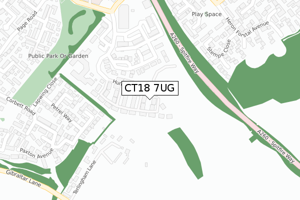
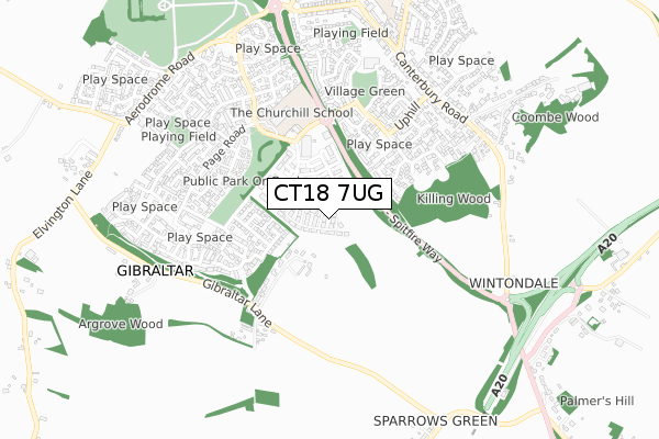
CT18 7UG maps


Source: OS Open Zoomstack (Ordnance Survey)
Licence: Open Government Licence (requires attribution)
Attribution: Contains OS data © Crown copyright and database right 2025
Source: Open Postcode Geo
Licence: Open Government Licence (requires attribution)
Attribution: Contains OS data © Crown copyright and database right 2025; Contains Royal Mail data © Royal Mail copyright and database right 2025; Source: Office for National Statistics licensed under the Open Government Licence v.3.0
Licence: Open Government Licence (requires attribution)
Attribution: Contains OS data © Crown copyright and database right 2025
Source: Open Postcode Geo
Licence: Open Government Licence (requires attribution)
Attribution: Contains OS data © Crown copyright and database right 2025; Contains Royal Mail data © Royal Mail copyright and database right 2025; Source: Office for National Statistics licensed under the Open Government Licence v.3.0
CT18 7UG geodata
| Easting | 621458 |
| Northing | 139282 |
| Latitude | 51.110031 |
| Longitude | 1.162426 |
Where is CT18 7UG?
| Country | England |
| Postcode District | CT18 |
Politics
| Ward | North Downs East |
|---|---|
| Constituency | Folkestone And Hythe |
Transport
Nearest bus stops to CT18 7UG
| Lidl (Haven Drive) | Hawkinge | 280m |
| Lidl (Haven Drive) | Hawkinge | 295m |
| De Havilland Close (Heron Forstal Avenue) | Hawkinge | 302m |
| De Havilland Close (Heron Forstal Avenue) | Hawkinge | 315m |
| Swann Way | Hawkinge | 328m |
Nearest railway stations to CT18 7UG
| Folkestone West Station | 2.9km |
| Folkestone Central Station | 3.1km |
Deprivation
12.6% of English postcodes are less deprived than CT18 7UG:Food Standards Agency
Three nearest food hygiene ratings to CT18 7UG (metres)
Spitfire Brunch Box

9A DEFIANT CLOSE
142m
Hawkinge Convenience Store

14B DEFIANT CLOSE
183m
Lidl

LIDL FOOD STORE HAVEN DRIVE
233m
➜ Get more ratings from the Food Standards Agency
Nearest post box to CT18 7UG
| Last Collection | |||
|---|---|---|---|
| Location | Mon-Fri | Sat | Distance |
| Uphill | 16:30 | 09:00 | 326m |
| Haven Drive | 16:15 | 10:00 | 657m |
| Hawkinge Post Office | 16:00 | 11:45 | 666m |
CT18 7UG ITL and CT18 7UG LAU
The below table lists the International Territorial Level (ITL) codes (formerly Nomenclature of Territorial Units for Statistics (NUTS) codes) and Local Administrative Units (LAU) codes for CT18 7UG:
| ITL 1 Code | Name |
|---|---|
| TLJ | South East (England) |
| ITL 2 Code | Name |
| TLJ4 | Kent |
| ITL 3 Code | Name |
| TLJ44 | East Kent |
| LAU 1 Code | Name |
| E07000112 | Folkestone and Hythe |
CT18 7UG census areas
The below table lists the Census Output Area (OA), Lower Layer Super Output Area (LSOA), and Middle Layer Super Output Area (MSOA) for CT18 7UG:
| Code | Name | |
|---|---|---|
| OA | E00124572 | |
| LSOA | E01033214 | Shepway 002F |
| MSOA | E02005103 | Shepway 002 |
Nearest postcodes to CT18 7UG
| CT18 7SU | Defiant Close | 142m |
| CT18 7PQ | Stempe Close | 190m |
| CT18 7FN | Horsley Close | 208m |
| CT18 7FE | De Havilland Close | 216m |
| CT18 7PW | Westland Way | 227m |
| CT18 7FH | Vickers Close | 278m |
| CT18 7FP | Heron Forstal Avenue | 293m |
| CT18 7GZ | Petrel Way | 301m |
| CT18 7PR | Widgeon Walk | 311m |
| CT18 7GF | Bittern Close | 345m |