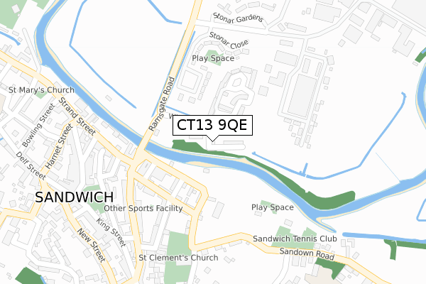
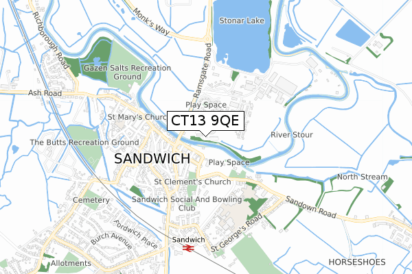
CT13 9QE is located in the Sandwich electoral ward, within the local authority district of Dover and the English Parliamentary constituency of South Thanet. The Sub Integrated Care Board (ICB) Location is NHS Kent and Medway ICB - 91Q and the police force is Kent. This postcode has been in use since February 2020.


GetTheData
Source: OS Open Zoomstack (Ordnance Survey)
Licence: Open Government Licence (requires attribution)
Attribution: Contains OS data © Crown copyright and database right 2025
Source: Open Postcode Geo
Licence: Open Government Licence (requires attribution)
Attribution: Contains OS data © Crown copyright and database right 2025; Contains Royal Mail data © Royal Mail copyright and database right 2025; Source: Office for National Statistics licensed under the Open Government Licence v.3.0
| Easting | 633355 |
| Northing | 158286 |
| Latitude | 51.275911 |
| Longitude | 1.344424 |
GetTheData
Source: Open Postcode Geo
Licence: Open Government Licence
| Country | England |
| Postcode District | CT13 |
➜ See where CT13 is on a map ➜ Where is Sandwich? | |
GetTheData
Source: Land Registry Price Paid Data
Licence: Open Government Licence
| Ward | Sandwich |
| Constituency | South Thanet |
GetTheData
Source: ONS Postcode Database
Licence: Open Government Licence
3, HAVEN BANK, SANDWICH, CT13 9QE 2022 5 JAN £475,000 |
GetTheData
Source: HM Land Registry Price Paid Data
Licence: Contains HM Land Registry data © Crown copyright and database right 2025. This data is licensed under the Open Government Licence v3.0.
| Industrial Estate (Ramsgate Road) | Sandwich | 316m |
| Industrial Estate (Ramsgate Road) | Sandwich | 379m |
| Guildhall (New Street) | Sandwich | 398m |
| Guildhall (New Street) | Sandwich | 405m |
| Guildhall (New Street) | Sandwich | 419m |
| Sandwich Station | 0.7km |
GetTheData
Source: NaPTAN
Licence: Open Government Licence
GetTheData
Source: ONS Postcode Database
Licence: Open Government Licence


➜ Get more ratings from the Food Standards Agency
GetTheData
Source: Food Standards Agency
Licence: FSA terms & conditions
| Last Collection | |||
|---|---|---|---|
| Location | Mon-Fri | Sat | Distance |
| Knightrider Street | 16:00 | 11:30 | 212m |
| Stonar Industrial Estate | 16:00 | 11:30 | 283m |
| King Street | 17:30 | 12:30 | 315m |
GetTheData
Source: Dracos
Licence: Creative Commons Attribution-ShareAlike
The below table lists the International Territorial Level (ITL) codes (formerly Nomenclature of Territorial Units for Statistics (NUTS) codes) and Local Administrative Units (LAU) codes for CT13 9QE:
| ITL 1 Code | Name |
|---|---|
| TLJ | South East (England) |
| ITL 2 Code | Name |
| TLJ4 | Kent |
| ITL 3 Code | Name |
| TLJ44 | East Kent |
| LAU 1 Code | Name |
| E07000108 | Dover |
GetTheData
Source: ONS Postcode Directory
Licence: Open Government Licence
The below table lists the Census Output Area (OA), Lower Layer Super Output Area (LSOA), and Middle Layer Super Output Area (MSOA) for CT13 9QE:
| Code | Name | |
|---|---|---|
| OA | E00123066 | |
| LSOA | E01024244 | Dover 002D |
| MSOA | E02005042 | Dover 002 |
GetTheData
Source: ONS Postcode Directory
Licence: Open Government Licence
| CT13 9QA | Willowbank | 85m |
| CT13 9EN | The Quay | 129m |
| CT13 9EW | Knightrider Street | 139m |
| CT13 9DH | Gardeners Quay | 145m |
| CT13 9EL | Upper Strand Street | 161m |
| CT13 9LH | Stonar Close | 174m |
| CT13 9QG | Bridge Close | 177m |
| CT13 9EE | Upper Strand Street | 188m |
| CT13 9DZ | Strand Street | 208m |
| CT13 9EB | High Street | 218m |
GetTheData
Source: Open Postcode Geo; Land Registry Price Paid Data
Licence: Open Government Licence