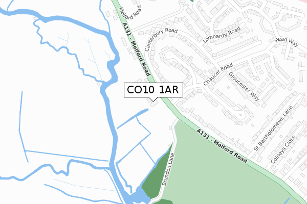
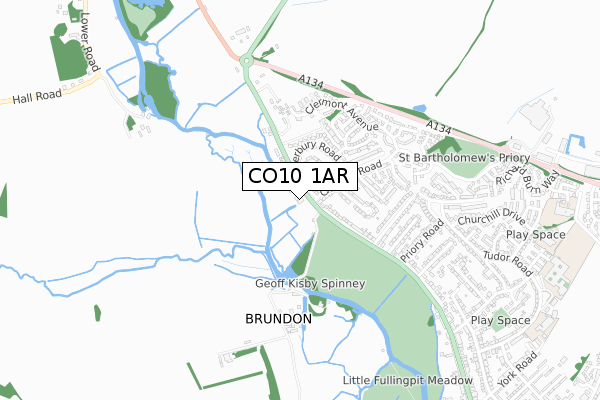
CO10 1AR is located in the Sudbury North West electoral ward, within the local authority district of Babergh and the English Parliamentary constituency of South Suffolk. The Sub Integrated Care Board (ICB) Location is NHS Suffolk and North East Essex ICB - 07K and the police force is Suffolk. This postcode has been in use since December 2019.


GetTheData
Source: OS Open Zoomstack (Ordnance Survey)
Licence: Open Government Licence (requires attribution)
Attribution: Contains OS data © Crown copyright and database right 2025
Source: Open Postcode Geo
Licence: Open Government Licence (requires attribution)
Attribution: Contains OS data © Crown copyright and database right 2025; Contains Royal Mail data © Royal Mail copyright and database right 2025; Source: Office for National Statistics licensed under the Open Government Licence v.3.0
| Easting | 586486 |
| Northing | 242617 |
| Latitude | 52.050573 |
| Longitude | 0.718305 |
GetTheData
Source: Open Postcode Geo
Licence: Open Government Licence
| Country | England |
| Postcode District | CO10 |
➜ See where CO10 is on a map ➜ Where is Sudbury? | |
GetTheData
Source: Land Registry Price Paid Data
Licence: Open Government Licence
| Ward | Sudbury North West |
| Constituency | South Suffolk |
GetTheData
Source: ONS Postcode Database
Licence: Open Government Licence
| Chaucer Road (Melford Road) | Sudbury | 80m |
| Chaucer Road (Melford Road) | Sudbury | 99m |
| Gloucester Way | Sudbury | 228m |
| Gloucester Way | Sudbury | 252m |
| Busway | Sudbury | 436m |
| Sudbury (Suffolk) Station | 2km |
GetTheData
Source: NaPTAN
Licence: Open Government Licence
GetTheData
Source: ONS Postcode Database
Licence: Open Government Licence


➜ Get more ratings from the Food Standards Agency
GetTheData
Source: Food Standards Agency
Licence: FSA terms & conditions
| Last Collection | |||
|---|---|---|---|
| Location | Mon-Fri | Sat | Distance |
| Priory Road | 17:15 | 11:30 | 490m |
| Tesco Springlands Way | 17:30 | 11:30 | 1,004m |
| York Road | 17:15 | 12:00 | 1,124m |
GetTheData
Source: Dracos
Licence: Creative Commons Attribution-ShareAlike
The below table lists the International Territorial Level (ITL) codes (formerly Nomenclature of Territorial Units for Statistics (NUTS) codes) and Local Administrative Units (LAU) codes for CO10 1AR:
| ITL 1 Code | Name |
|---|---|
| TLH | East |
| ITL 2 Code | Name |
| TLH1 | East Anglia |
| ITL 3 Code | Name |
| TLH14 | Suffolk CC |
| LAU 1 Code | Name |
| E07000200 | Babergh |
GetTheData
Source: ONS Postcode Directory
Licence: Open Government Licence
The below table lists the Census Output Area (OA), Lower Layer Super Output Area (LSOA), and Middle Layer Super Output Area (MSOA) for CO10 1AR:
| Code | Name | |
|---|---|---|
| OA | E00152460 | |
| LSOA | E01029917 | Babergh 003C |
| MSOA | E02006229 | Babergh 003 |
GetTheData
Source: ONS Postcode Directory
Licence: Open Government Licence
| CO10 1LR | Lancaster Road | 142m |
| CO10 1LN | Chaucer Road | 157m |
| CO10 1XT | Melford Road | 163m |
| CO10 1LJ | Canterbury Road | 194m |
| CO10 1LL | Canterbury Road | 221m |
| CO10 1LP | Rochester Way | 259m |
| CO10 1JZ | Melford Road | 275m |
| CO10 1LW | Gloucester Way | 329m |
| CO10 1YR | Courtenay Close | 331m |
| CO10 1LQ | Lombardy Road | 332m |
GetTheData
Source: Open Postcode Geo; Land Registry Price Paid Data
Licence: Open Government Licence