CO10 0GE maps, stats, and open data
CO10 0GE is located in the Great Cornard electoral ward, within the local authority district of Babergh and the English Parliamentary constituency of South Suffolk. The Sub Integrated Care Board (ICB) Location is NHS Suffolk and North East Essex ICB - 07K and the police force is Suffolk. This postcode has been in use since October 2017.
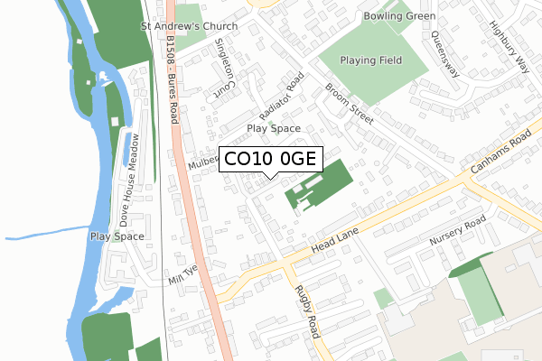
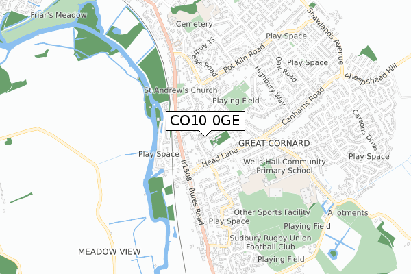
CO10 0GE maps


Licence: Open Government Licence (requires attribution)
Attribution: Contains OS data © Crown copyright and database right 2025
Source: Open Postcode Geo
Licence: Open Government Licence (requires attribution)
Attribution: Contains OS data © Crown copyright and database right 2025; Contains Royal Mail data © Royal Mail copyright and database right 2025; Source: Office for National Statistics licensed under the Open Government Licence v.3.0
CO10 0GE geodata
| Easting | 588499 |
| Northing | 240127 |
| Latitude | 52.027531 |
| Longitude | 0.746255 |
Where is CO10 0GE?
| Country | England |
| Postcode District | CO10 |
Politics
| Ward | Great Cornard |
|---|---|
| Constituency | South Suffolk |
House Prices
Sales of detached houses in CO10 0GE
1, GUILFORD WAY, GREAT CORNARD, SUDBURY, CO10 0GE 2018 7 MAR £290,000 |
2, GUILFORD WAY, GREAT CORNARD, SUDBURY, CO10 0GE 2017 13 DEC £329,995 |
4, GUILFORD WAY, GREAT CORNARD, SUDBURY, CO10 0GE 2017 8 DEC £272,995 |
3, GUILFORD WAY, GREAT CORNARD, SUDBURY, CO10 0GE 2017 29 SEP £329,995 |
Licence: Contains HM Land Registry data © Crown copyright and database right 2025. This data is licensed under the Open Government Licence v3.0.
Transport
Nearest bus stops to CO10 0GE
| Rugby Road (Head Lane) | Great Cornard | 137m |
| Head Lane (Bures Road) | Great Cornard | 164m |
| Head Lane (Bures Road) | Great Cornard | 171m |
| Rugby Road (Head Lane) | Great Cornard | 175m |
| Thomas Gainsborough School | Great Cornard | 267m |
Nearest railway stations to CO10 0GE
| Sudbury (Suffolk) Station | 1.2km |
Broadband
Broadband access in CO10 0GE (2020 data)
| Percentage of properties with Next Generation Access | 100.0% |
| Percentage of properties with Superfast Broadband | 100.0% |
| Percentage of properties with Ultrafast Broadband | 0.0% |
| Percentage of properties with Full Fibre Broadband | 0.0% |
Superfast Broadband is between 30Mbps and 300Mbps
Ultrafast Broadband is > 300Mbps
Broadband limitations in CO10 0GE (2020 data)
| Percentage of properties unable to receive 2Mbps | 0.0% |
| Percentage of properties unable to receive 5Mbps | 0.0% |
| Percentage of properties unable to receive 10Mbps | 0.0% |
| Percentage of properties unable to receive 30Mbps | 0.0% |
Deprivation
31% of English postcodes are less deprived than CO10 0GE:Food Standards Agency
Three nearest food hygiene ratings to CO10 0GE (metres)


➜ Get more ratings from the Food Standards Agency
Nearest post box to CO10 0GE
| Last Collection | |||
|---|---|---|---|
| Location | Mon-Fri | Sat | Distance |
| Pot Kiln Road Great Cornard | 17:15 | 10:30 | 500m |
| Kempson Drive | 16:15 | 10:30 | 764m |
| Poplar Road Great Cornard | 17:15 | 11:30 | 766m |
CO10 0GE ITL and CO10 0GE LAU
The below table lists the International Territorial Level (ITL) codes (formerly Nomenclature of Territorial Units for Statistics (NUTS) codes) and Local Administrative Units (LAU) codes for CO10 0GE:
| ITL 1 Code | Name |
|---|---|
| TLH | East |
| ITL 2 Code | Name |
| TLH1 | East Anglia |
| ITL 3 Code | Name |
| TLH14 | Suffolk CC |
| LAU 1 Code | Name |
| E07000200 | Babergh |
CO10 0GE census areas
The below table lists the Census Output Area (OA), Lower Layer Super Output Area (LSOA), and Middle Layer Super Output Area (MSOA) for CO10 0GE:
| Code | Name | |
|---|---|---|
| OA | E00169909 | |
| LSOA | E01029887 | Babergh 008B |
| MSOA | E02006234 | Babergh 008 |
Nearest postcodes to CO10 0GE
| CO10 0JH | Phillips Field Road | 55m |
| CO10 0HX | Radiator Road | 125m |
| CO10 0JF | Bures Road | 139m |
| CO10 0HZ | Jacobs Close | 148m |
| CO10 0HT | Queens Close | 162m |
| CO10 0JS | Head Lane | 170m |
| CO10 0JE | Bures Road | 176m |
| CO10 0HR | Melso Close | 186m |
| CO10 0HY | The Mews | 186m |
| CO10 0JD | Head Lane | 197m |