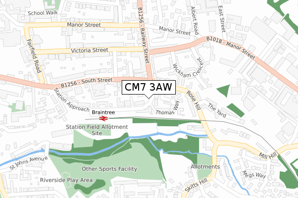
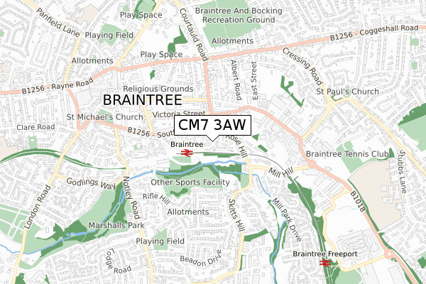
CM7 3AW is located in the Braintree Central & Beckers Green electoral ward, within the local authority district of Braintree and the English Parliamentary constituency of Braintree. The Sub Integrated Care Board (ICB) Location is NHS Mid and South Essex ICB - 06Q and the police force is Essex. This postcode has been in use since April 2020.


GetTheData
Source: OS Open Zoomstack (Ordnance Survey)
Licence: Open Government Licence (requires attribution)
Attribution: Contains OS data © Crown copyright and database right 2025
Source: Open Postcode Geo
Licence: Open Government Licence (requires attribution)
Attribution: Contains OS data © Crown copyright and database right 2025; Contains Royal Mail data © Royal Mail copyright and database right 2025; Source: Office for National Statistics licensed under the Open Government Licence v.3.0
| Easting | 576250 |
| Northing | 222788 |
| Latitude | 51.875817 |
| Longitude | 0.559020 |
GetTheData
Source: Open Postcode Geo
Licence: Open Government Licence
| Country | England |
| Postcode District | CM7 |
➜ See where CM7 is on a map ➜ Where is Braintree? | |
GetTheData
Source: Land Registry Price Paid Data
Licence: Open Government Licence
| Ward | Braintree Central & Beckers Green |
| Constituency | Braintree |
GetTheData
Source: ONS Postcode Database
Licence: Open Government Licence
| Trinovantian Way (Railway Street) | Braintree Town Centre | 112m |
| Railway Station (Station Approach) | Braintree | 188m |
| South Street | Braintree Town Centre | 276m |
| Four Seasons (Manor Street) | Braintree | 302m |
| Skitts Hill | Braintree | 304m |
| Braintree Station | 0.2km |
| Braintree Freeport Station | 1km |
| Cressing Station | 2.9km |
GetTheData
Source: NaPTAN
Licence: Open Government Licence
GetTheData
Source: ONS Postcode Database
Licence: Open Government Licence


➜ Get more ratings from the Food Standards Agency
GetTheData
Source: Food Standards Agency
Licence: FSA terms & conditions
| Last Collection | |||
|---|---|---|---|
| Location | Mon-Fri | Sat | Distance |
| Fairfield Road | 17:30 | 12:30 | 451m |
| Orchard Drive | 17:30 | 09:15 | 477m |
| Godlings Way | 17:30 | 08:15 | 583m |
GetTheData
Source: Dracos
Licence: Creative Commons Attribution-ShareAlike
The below table lists the International Territorial Level (ITL) codes (formerly Nomenclature of Territorial Units for Statistics (NUTS) codes) and Local Administrative Units (LAU) codes for CM7 3AW:
| ITL 1 Code | Name |
|---|---|
| TLH | East |
| ITL 2 Code | Name |
| TLH3 | Essex |
| ITL 3 Code | Name |
| TLH34 | Essex Haven Gateway |
| LAU 1 Code | Name |
| E07000067 | Braintree |
GetTheData
Source: ONS Postcode Directory
Licence: Open Government Licence
The below table lists the Census Output Area (OA), Lower Layer Super Output Area (LSOA), and Middle Layer Super Output Area (MSOA) for CM7 3AW:
| Code | Name | |
|---|---|---|
| OA | E00108519 | |
| LSOA | E01033458 | Braintree 009E |
| MSOA | E02004454 | Braintree 009 |
GetTheData
Source: ONS Postcode Directory
Licence: Open Government Licence
| CM7 3GE | Rose Hill | 32m |
| CM7 3AH | Thomas Way | 36m |
| CM7 3AJ | Thomas Way | 63m |
| CM7 3AE | Parnell Place | 77m |
| CM7 3BX | Gresley Drive | 83m |
| CM7 3BZ | Sidings Place | 92m |
| CM7 3TB | Station Approach | 98m |
| CM7 3QB | South Street | 107m |
| CM7 3JZ | Railway Street | 140m |
| CM7 3QN | Rose Hill | 143m |
GetTheData
Source: Open Postcode Geo; Land Registry Price Paid Data
Licence: Open Government Licence