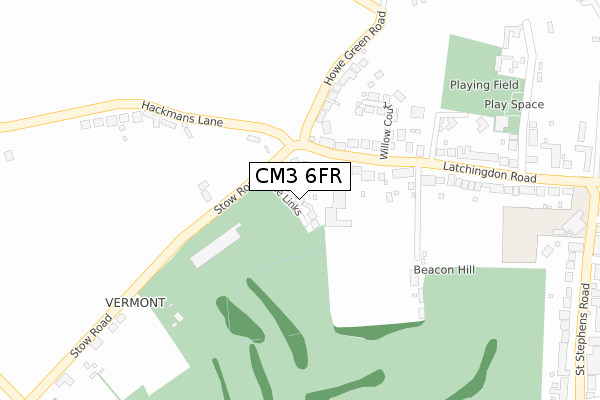
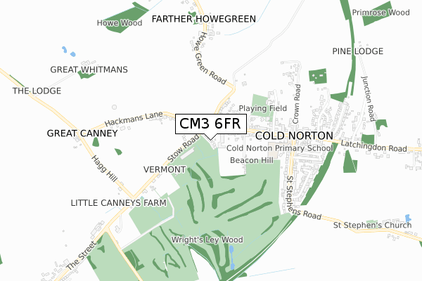
CM3 6FR is located in the Purleigh electoral ward, within the local authority district of Maldon and the English Parliamentary constituency of Maldon. The Sub Integrated Care Board (ICB) Location is NHS Mid and South Essex ICB - 06Q and the police force is Essex. This postcode has been in use since November 2017.


GetTheData
Source: OS Open Zoomstack (Ordnance Survey)
Licence: Open Government Licence (requires attribution)
Attribution: Contains OS data © Crown copyright and database right 2025
Source: Open Postcode Geo
Licence: Open Government Licence (requires attribution)
Attribution: Contains OS data © Crown copyright and database right 2025; Contains Royal Mail data © Royal Mail copyright and database right 2025; Source: Office for National Statistics licensed under the Open Government Licence v.3.0
| Easting | 584236 |
| Northing | 200370 |
| Latitude | 51.671892 |
| Longitude | 0.663016 |
GetTheData
Source: Open Postcode Geo
Licence: Open Government Licence
| Country | England |
| Postcode District | CM3 |
➜ See where CM3 is on a map | |
GetTheData
Source: Land Registry Price Paid Data
Licence: Open Government Licence
| Ward | Purleigh |
| Constituency | Maldon |
GetTheData
Source: ONS Postcode Database
Licence: Open Government Licence
| Latchingdon Road (Howe Green Road) | Cold Norton | 131m |
| Latchingdon Road (Howe Green Road) | Cold Norton | 152m |
| Stow Road | Cold Norton | 390m |
| Stow Road | Cold Norton | 391m |
| St. Stephens Road (Latchingdon Road) | Cold Norton | 441m |
| North Fambridge Station | 2.9km |
| South Woodham Ferrers Station | 4.6km |
GetTheData
Source: NaPTAN
Licence: Open Government Licence
| Percentage of properties with Next Generation Access | 100.0% |
| Percentage of properties with Superfast Broadband | 100.0% |
| Percentage of properties with Ultrafast Broadband | 0.0% |
| Percentage of properties with Full Fibre Broadband | 0.0% |
Superfast Broadband is between 30Mbps and 300Mbps
Ultrafast Broadband is > 300Mbps
| Percentage of properties unable to receive 2Mbps | 0.0% |
| Percentage of properties unable to receive 5Mbps | 0.0% |
| Percentage of properties unable to receive 10Mbps | 0.0% |
| Percentage of properties unable to receive 30Mbps | 0.0% |
GetTheData
Source: Ofcom
Licence: Ofcom Terms of Use (requires attribution)
GetTheData
Source: ONS Postcode Database
Licence: Open Government Licence


➜ Get more ratings from the Food Standards Agency
GetTheData
Source: Food Standards Agency
Licence: FSA terms & conditions
| Last Collection | |||
|---|---|---|---|
| Location | Mon-Fri | Sat | Distance |
| The Bell | 17:15 | 07:15 | 1,611m |
| Purleigh P.o. | 17:15 | 10:30 | 1,729m |
| Old Purleigh Road | 16:05 | 07:30 | 2,163m |
GetTheData
Source: Dracos
Licence: Creative Commons Attribution-ShareAlike
The below table lists the International Territorial Level (ITL) codes (formerly Nomenclature of Territorial Units for Statistics (NUTS) codes) and Local Administrative Units (LAU) codes for CM3 6FR:
| ITL 1 Code | Name |
|---|---|
| TLH | East |
| ITL 2 Code | Name |
| TLH3 | Essex |
| ITL 3 Code | Name |
| TLH36 | Heart of Essex |
| LAU 1 Code | Name |
| E07000074 | Maldon |
GetTheData
Source: ONS Postcode Directory
Licence: Open Government Licence
The below table lists the Census Output Area (OA), Lower Layer Super Output Area (LSOA), and Middle Layer Super Output Area (MSOA) for CM3 6FR:
| Code | Name | |
|---|---|---|
| OA | E00111248 | |
| LSOA | E01021902 | Maldon 007F |
| MSOA | E02004561 | Maldon 007 |
GetTheData
Source: ONS Postcode Directory
Licence: Open Government Licence
| CM3 6GN | Latchingdon Road | 111m |
| CM3 6RR | Stow Road | 152m |
| CM3 6FH | Willow Court | 196m |
| CM3 6QA | Howe Green Road | 220m |
| CM3 6JG | Latchingdon Road | 228m |
| CM3 6RP | Hackmans Lane | 396m |
| CM3 6JQ | Cherry Blossom Lane | 400m |
| CM3 6JE | St Stephens Road | 528m |
| CM3 6JL | Clarke Rise | 556m |
| CM3 6JF | Crown Road | 578m |
GetTheData
Source: Open Postcode Geo; Land Registry Price Paid Data
Licence: Open Government Licence