CH1 3GY maps, stats, and open data
- Home
- Postcode
- CH
- CH1
- CH1 3
CH1 3GY is located in the Chester City & the Garden Quarter electoral ward, within the unitary authority of Cheshire West and Chester and the English Parliamentary constituency of City of Chester. The Sub Integrated Care Board (ICB) Location is NHS Cheshire and Merseyside ICB - 27D and the police force is Cheshire. This postcode has been in use since October 2018.
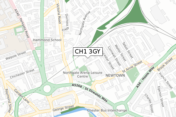
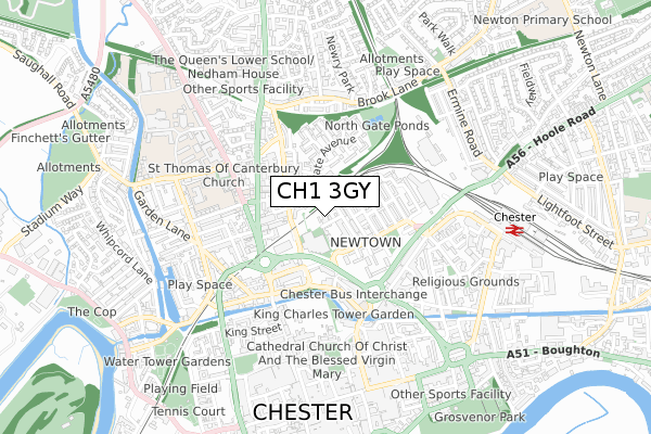
CH1 3GY maps


Source: OS Open Zoomstack (Ordnance Survey)
Licence: Open Government Licence (requires attribution)
Attribution: Contains OS data © Crown copyright and database right 2025
Source: Open Postcode GeoLicence: Open Government Licence (requires attribution)
Attribution: Contains OS data © Crown copyright and database right 2025; Contains Royal Mail data © Royal Mail copyright and database right 2025; Source: Office for National Statistics licensed under the Open Government Licence v.3.0
CH1 3GY geodata
| Easting | 340608 |
| Northing | 367021 |
| Latitude | 53.196952 |
| Longitude | -2.890483 |
Where is CH1 3GY?
| Country | England |
| Postcode District | CH1 |
Politics
| Ward | Chester City & The Garden Quarter |
|---|
| Constituency | City Of Chester |
|---|
Transport
Nearest bus stops to CH1 3GY
| Northgate Avenue (Victoria Road) | Chester | 131m |
| Northgate Avenue (Victoria Road) | Chester | 148m |
| Delamere Street | Chester | 215m |
| Cornwall Street (St Anne Street) | Newtown | 218m |
| Stagecoach Depot (Liverpool Road) | Chester | 256m |
Nearest railway stations to CH1 3GY
| Chester Station | 0.7km |
| Bache Station | 1.3km |
Broadband
Broadband access in CH1 3GY (2020 data)
| Percentage of properties with Next Generation Access | 100.0% |
| Percentage of properties with Superfast Broadband | 100.0% |
| Percentage of properties with Ultrafast Broadband | 100.0% |
| Percentage of properties with Full Fibre Broadband | 0.0% |
Superfast Broadband is between 30Mbps and 300Mbps
Ultrafast Broadband is > 300Mbps
Broadband limitations in CH1 3GY (2020 data)
| Percentage of properties unable to receive 2Mbps | 0.0% |
| Percentage of properties unable to receive 5Mbps | 0.0% |
| Percentage of properties unable to receive 10Mbps | 0.0% |
| Percentage of properties unable to receive 30Mbps | 0.0% |
Deprivation
76.8% of English postcodes are less deprived than
CH1 3GY:
Food Standards Agency
Three nearest food hygiene ratings to CH1 3GY (metres)
Northgate Arena Leisure Centre
Northgate Arena Leisure Centre Victoria Road
111m
Lesley's Bistro
Your Housing Group Abbots Wood
117m
Christ Church Chester
Christ Church Vicarage 5 Gloucester Street
133m
➜ Get more ratings from the Food Standards Agency
Nearest post box to CH1 3GY
| | Last Collection | |
|---|
| Location | Mon-Fri | Sat | Distance |
|---|
| Liverpool Road. | 16:00 | 13:15 | 243m |
| Dicksons Drive, | 17:30 | 12:45 | 254m |
| Liverpool Road Station, | 17:30 | 11:30 | 479m |
CH1 3GY ITL and CH1 3GY LAU
The below table lists the International Territorial Level (ITL) codes (formerly Nomenclature of Territorial Units for Statistics (NUTS) codes) and Local Administrative Units (LAU) codes for CH1 3GY:
| ITL 1 Code | Name |
|---|
| TLD | North West (England) |
| ITL 2 Code | Name |
|---|
| TLD6 | Cheshire |
| ITL 3 Code | Name |
|---|
| TLD63 | Cheshire West and Chester |
| LAU 1 Code | Name |
|---|
| E06000050 | Cheshire West and Chester |
CH1 3GY census areas
The below table lists the Census Output Area (OA), Lower Layer Super Output Area (LSOA), and Middle Layer Super Output Area (MSOA) for CH1 3GY:
| Code | Name |
|---|
| OA | E00092429 | |
|---|
| LSOA | E01018327 | Cheshire West and Chester 033B |
|---|
| MSOA | E02003802 | Cheshire West and Chester 033 |
|---|
Nearest postcodes to CH1 3GY


