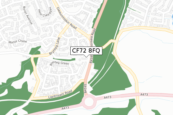
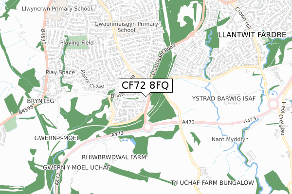
CF72 8FQ is located in the Beddau and Tyn-y-nant electoral ward, within the unitary authority of Rhondda Cynon Taf and the Welsh Parliamentary constituency of Pontypridd. The Local Health Board is Cwm Taf Morgannwg University and the police force is South Wales. This postcode has been in use since October 2017.


GetTheData
Source: OS Open Zoomstack (Ordnance Survey)
Licence: Open Government Licence (requires attribution)
Attribution: Contains OS data © Crown copyright and database right 2025
Source: Open Postcode Geo
Licence: Open Government Licence (requires attribution)
Attribution: Contains OS data © Crown copyright and database right 2025; Contains Royal Mail data © Royal Mail copyright and database right 2025; Source: Office for National Statistics licensed under the Open Government Licence v.3.0
| Easting | 306527 |
| Northing | 184068 |
| Latitude | 51.547736 |
| Longitude | -3.349428 |
GetTheData
Source: Open Postcode Geo
Licence: Open Government Licence
| Country | Wales |
| Postcode District | CF72 |
➜ See where CF72 is on a map ➜ Where is Beddau? | |
GetTheData
Source: Land Registry Price Paid Data
Licence: Open Government Licence
| Ward | Beddau And Tyn-y-nant |
| Constituency | Pontypridd |
GetTheData
Source: ONS Postcode Database
Licence: Open Government Licence
| Gwaun Miskin Terminus (Gwaunmiskin) | Beddau | 308m |
| Heol Treferig (Heol Seward) | Beddau | 675m |
| Maes Trane (Heol Seward) | Beddau | 687m |
| Spar (Gwaunmiskin Road) | Tynant | 724m |
| Spar (Gwaunmiskin Road) | Tynant | 735m |
| Pontyclun Station | 4km |
| Trefforest Estate Station | 4.7km |
| Trefforest Station | 5.1km |
GetTheData
Source: NaPTAN
Licence: Open Government Licence
| Percentage of properties with Next Generation Access | 100.0% |
| Percentage of properties with Superfast Broadband | 0.0% |
| Percentage of properties with Ultrafast Broadband | 0.0% |
| Percentage of properties with Full Fibre Broadband | 0.0% |
Superfast Broadband is between 30Mbps and 300Mbps
Ultrafast Broadband is > 300Mbps
| Percentage of properties unable to receive 2Mbps | 100.0% |
| Percentage of properties unable to receive 5Mbps | 100.0% |
| Percentage of properties unable to receive 10Mbps | 100.0% |
| Percentage of properties unable to receive 30Mbps | 100.0% |
GetTheData
Source: Ofcom
Licence: Ofcom Terms of Use (requires attribution)
GetTheData
Source: ONS Postcode Database
Licence: Open Government Licence


➜ Get more ratings from the Food Standards Agency
GetTheData
Source: Food Standards Agency
Licence: FSA terms & conditions
| Last Collection | |||
|---|---|---|---|
| Location | Mon-Fri | Sat | Distance |
| Gwaunmiskin Beddau | 18:00 | 11:45 | 295m |
| Rowans Gardens | 16:00 | 11:30 | 632m |
| Brynna Post Office | 16:45 | 11:45 | 3,747m |
GetTheData
Source: Dracos
Licence: Creative Commons Attribution-ShareAlike
The below table lists the International Territorial Level (ITL) codes (formerly Nomenclature of Territorial Units for Statistics (NUTS) codes) and Local Administrative Units (LAU) codes for CF72 8FQ:
| ITL 1 Code | Name |
|---|---|
| TLL | Wales |
| ITL 2 Code | Name |
| TLL1 | West Wales and The Valleys |
| ITL 3 Code | Name |
| TLL15 | Central Valleys |
| LAU 1 Code | Name |
| W06000016 | Rhondda Cynon Taf |
GetTheData
Source: ONS Postcode Directory
Licence: Open Government Licence
The below table lists the Census Output Area (OA), Lower Layer Super Output Area (LSOA), and Middle Layer Super Output Area (MSOA) for CF72 8FQ:
| Code | Name | |
|---|---|---|
| OA | W00006104 | |
| LSOA | W01001159 | Rhondda Cynon Taf 028C |
| MSOA | W02000279 | Rhondda Cynon Taf 028 |
GetTheData
Source: ONS Postcode Directory
Licence: Open Government Licence
| CF38 2JR | Brynteg Lane | 117m |
| CF38 2JD | Manor Chase | 121m |
| CF38 2PT | Brynteg Green | 140m |
| CF38 2JF | Manor Chase | 222m |
| CF38 2RS | Carlton Crescent | 223m |
| CF38 2JE | Manor Chase | 254m |
| CF38 2QA | Brynteg Green | 275m |
| CF38 2JZ | Manor Chase | 312m |
| CF72 8LT | 319m | |
| CF38 2RT | Campton Place | 333m |
GetTheData
Source: Open Postcode Geo; Land Registry Price Paid Data
Licence: Open Government Licence