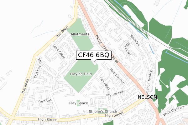
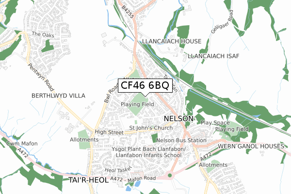
CF46 6BQ is located in the Nelson electoral ward, within the unitary authority of Caerphilly and the Welsh Parliamentary constituency of Caerphilly. The Local Health Board is Aneurin Bevan University and the police force is Gwent. This postcode has been in use since October 2018.


GetTheData
Source: OS Open Zoomstack (Ordnance Survey)
Licence: Open Government Licence (requires attribution)
Attribution: Contains OS data © Crown copyright and database right 2025
Source: Open Postcode Geo
Licence: Open Government Licence (requires attribution)
Attribution: Contains OS data © Crown copyright and database right 2025; Contains Royal Mail data © Royal Mail copyright and database right 2025; Source: Office for National Statistics licensed under the Open Government Licence v.3.0
| Easting | 311010 |
| Northing | 195801 |
| Latitude | 51.653933 |
| Longitude | -3.287776 |
GetTheData
Source: Open Postcode Geo
Licence: Open Government Licence
| Country | Wales |
| Postcode District | CF46 |
➜ See where CF46 is on a map ➜ Where is Nelson? | |
GetTheData
Source: Land Registry Price Paid Data
Licence: Open Government Licence
| Ward | Nelson |
| Constituency | Caerphilly |
GetTheData
Source: ONS Postcode Database
Licence: Open Government Licence
| Lon Y Celyn | Nelson | 108m |
| Llancaiach View (Shingrig Road) | Nelson | 160m |
| Llancaiach View (Shingrig Road) | Nelson | 178m |
| Primrose Close | Nelson | 200m |
| Llwyn Yr Eos (Shingrig Road) | Nelson | 229m |
| Quakers Yard Station | 2.5km |
| Abercynon Station | 2.9km |
| Ystrad Mynach Station | 3.5km |
GetTheData
Source: NaPTAN
Licence: Open Government Licence
GetTheData
Source: ONS Postcode Database
Licence: Open Government Licence


➜ Get more ratings from the Food Standards Agency
GetTheData
Source: Food Standards Agency
Licence: FSA terms & conditions
| Last Collection | |||
|---|---|---|---|
| Location | Mon-Fri | Sat | Distance |
| Cardiff Road Edwardsville | 17:30 | 12:00 | 2,718m |
| Glanynant Post Office | 16:15 | 11:00 | 4,481m |
| Fleur De Lys Village | 16:00 | 11:00 | 4,564m |
GetTheData
Source: Dracos
Licence: Creative Commons Attribution-ShareAlike
The below table lists the International Territorial Level (ITL) codes (formerly Nomenclature of Territorial Units for Statistics (NUTS) codes) and Local Administrative Units (LAU) codes for CF46 6BQ:
| ITL 1 Code | Name |
|---|---|
| TLL | Wales |
| ITL 2 Code | Name |
| TLL1 | West Wales and The Valleys |
| ITL 3 Code | Name |
| TLL16 | Gwent Valleys |
| LAU 1 Code | Name |
| W06000018 | Caerphilly |
GetTheData
Source: ONS Postcode Directory
Licence: Open Government Licence
The below table lists the Census Output Area (OA), Lower Layer Super Output Area (LSOA), and Middle Layer Super Output Area (MSOA) for CF46 6BQ:
| Code | Name | |
|---|---|---|
| OA | W00007221 | |
| LSOA | W01001378 | Caerphilly 013B |
| MSOA | W02000302 | Caerphilly 013 |
GetTheData
Source: ONS Postcode Directory
Licence: Open Government Licence
| CF46 6EA | Shingrig Road | 81m |
| CF46 6LW | Heol Llyswen | 106m |
| CF46 6LP | Lan Y Parc | 122m |
| CF46 6DY | Shingrig Road | 134m |
| CF46 6HT | Lon Y Celyn | 141m |
| CF46 6LH | Llwyn Yr Eos | 157m |
| CF46 6EN | Rowan Close | 163m |
| CF46 6LG | Llwyn Yr Eos | 200m |
| CF46 6EL | Ffos Close | 207m |
| CF46 6EW | Llancaiach View | 210m |
GetTheData
Source: Open Postcode Geo; Land Registry Price Paid Data
Licence: Open Government Licence