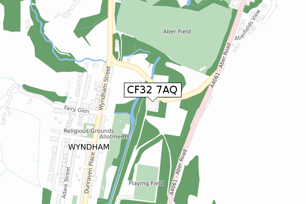
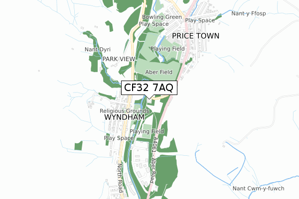
CF32 7AQ is located in the Ogmore Vale electoral ward, within the unitary authority of Bridgend and the Welsh Parliamentary constituency of Ogmore. The Local Health Board is Cwm Taf Morgannwg University and the police force is South Wales. This postcode has been in use since July 2018.


GetTheData
Source: OS Open Zoomstack (Ordnance Survey)
Licence: Open Government Licence (requires attribution)
Attribution: Contains OS data © Crown copyright and database right 2025
Source: Open Postcode Geo
Licence: Open Government Licence (requires attribution)
Attribution: Contains OS data © Crown copyright and database right 2025; Contains Royal Mail data © Royal Mail copyright and database right 2025; Source: Office for National Statistics licensed under the Open Government Licence v.3.0
| Easting | 293421 |
| Northing | 191641 |
| Latitude | 51.613483 |
| Longitude | -3.540671 |
GetTheData
Source: Open Postcode Geo
Licence: Open Government Licence
| Country | Wales |
| Postcode District | CF32 |
➜ See where CF32 is on a map | |
GetTheData
Source: Land Registry Price Paid Data
Licence: Open Government Licence
| Ward | Ogmore Vale |
| Constituency | Ogmore |
GetTheData
Source: ONS Postcode Database
Licence: Open Government Licence
| Factory (Unclassified) | Wyndham | 40m |
| Factory (Unclassified) | Wyndham | 44m |
| Fairy Glen (Wyndham Street) | Wyndham | 172m |
| Fairy Glen (Wyndham Street) | Wyndham | 179m |
| Shop (Dunraven Place) | Wyndham | 365m |
| Ton Pentre Station | 5.4km |
| Treorchy Station | 5.5km |
GetTheData
Source: NaPTAN
Licence: Open Government Licence
GetTheData
Source: ONS Postcode Database
Licence: Open Government Licence


➜ Get more ratings from the Food Standards Agency
GetTheData
Source: Food Standards Agency
Licence: FSA terms & conditions
| Last Collection | |||
|---|---|---|---|
| Location | Mon-Fri | Sat | Distance |
| Pentre Post Office | 17:45 | 11:15 | 5,153m |
| Smith Street | 16:30 | 11:00 | 5,289m |
| Aubery Road | 17:15 | 11:00 | 5,482m |
GetTheData
Source: Dracos
Licence: Creative Commons Attribution-ShareAlike
The below table lists the International Territorial Level (ITL) codes (formerly Nomenclature of Territorial Units for Statistics (NUTS) codes) and Local Administrative Units (LAU) codes for CF32 7AQ:
| ITL 1 Code | Name |
|---|---|
| TLL | Wales |
| ITL 2 Code | Name |
| TLL1 | West Wales and The Valleys |
| ITL 3 Code | Name |
| TLL17 | Bridgend and Neath Port Talbot |
| LAU 1 Code | Name |
| W06000013 | Bridgend |
GetTheData
Source: ONS Postcode Directory
Licence: Open Government Licence
The below table lists the Census Output Area (OA), Lower Layer Super Output Area (LSOA), and Middle Layer Super Output Area (MSOA) for CF32 7AQ:
| Code | Name | |
|---|---|---|
| OA | W00005478 | |
| LSOA | W01001034 | Bridgend 003F |
| MSOA | W02000220 | Bridgend 003 |
GetTheData
Source: ONS Postcode Directory
Licence: Open Government Licence
| CF32 7SL | Aber Houses | 175m |
| CF32 7EU | Wyndham Street | 179m |
| CF32 7HD | Hendre Avenue | 224m |
| CF32 7ET | Dunraven Place | 256m |
| CF32 7HH | Dingle Nook | 280m |
| CF32 7HA | Fairy Glen | 287m |
| CF32 7HE | Coronation Street | 319m |
| CF32 7HG | Adare Street | 325m |
| CF32 7EX | Woodland Street | 386m |
| CF32 7SJ | Aberfields View | 396m |
GetTheData
Source: Open Postcode Geo; Land Registry Price Paid Data
Licence: Open Government Licence