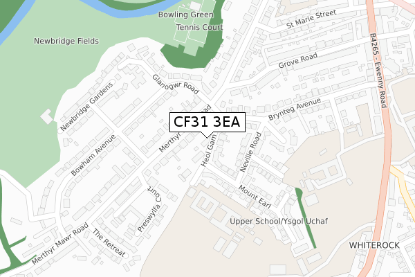
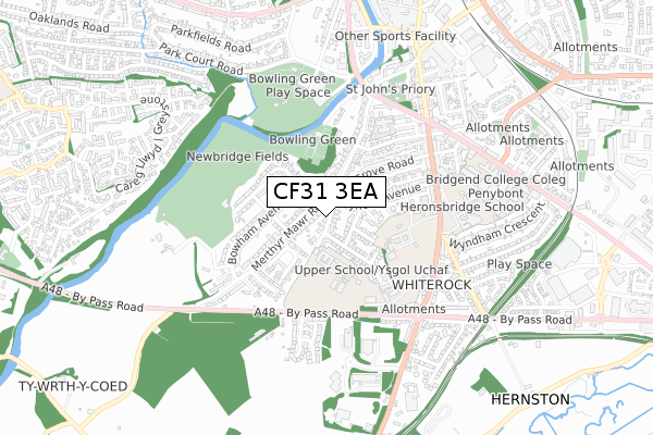
CF31 3EA is located in the Oldcastle electoral ward, within the unitary authority of Bridgend and the Welsh Parliamentary constituency of Bridgend. The Local Health Board is Cwm Taf Morgannwg University and the police force is South Wales. This postcode has been in use since October 2018.


GetTheData
Source: OS Open Zoomstack (Ordnance Survey)
Licence: Open Government Licence (requires attribution)
Attribution: Contains OS data © Crown copyright and database right 2025
Source: Open Postcode Geo
Licence: Open Government Licence (requires attribution)
Attribution: Contains OS data © Crown copyright and database right 2025; Contains Royal Mail data © Royal Mail copyright and database right 2025; Source: Office for National Statistics licensed under the Open Government Licence v.3.0
| Easting | 290298 |
| Northing | 178931 |
| Latitude | 51.498639 |
| Longitude | -3.581790 |
GetTheData
Source: Open Postcode Geo
Licence: Open Government Licence
| Country | Wales |
| Postcode District | CF31 |
➜ See where CF31 is on a map ➜ Where is Bridgend? | |
GetTheData
Source: Land Registry Price Paid Data
Licence: Open Government Licence
| Ward | Oldcastle |
| Constituency | Bridgend |
GetTheData
Source: ONS Postcode Database
Licence: Open Government Licence
| Merthyr Mawr Road | Whiterock | 264m |
| Brynteg School (Ewenny Road) | Whiterock | 443m |
| Ewenny Road (Ewenny Street) | Bridgend | 478m |
| Recreation Centre (Angel Street) | Bridgend | 551m |
| Recreation Centre (Angel Street) | Bridgend | 560m |
| Bridgend Station | 1km |
| Wildmill Station | 2.5km |
| Sarn Station | 4.5km |
GetTheData
Source: NaPTAN
Licence: Open Government Licence
| Percentage of properties with Next Generation Access | 100.0% |
| Percentage of properties with Superfast Broadband | 100.0% |
| Percentage of properties with Ultrafast Broadband | 0.0% |
| Percentage of properties with Full Fibre Broadband | 0.0% |
Superfast Broadband is between 30Mbps and 300Mbps
Ultrafast Broadband is > 300Mbps
| Percentage of properties unable to receive 2Mbps | 0.0% |
| Percentage of properties unable to receive 5Mbps | 0.0% |
| Percentage of properties unable to receive 10Mbps | 0.0% |
| Percentage of properties unable to receive 30Mbps | 0.0% |
GetTheData
Source: Ofcom
Licence: Ofcom Terms of Use (requires attribution)
GetTheData
Source: ONS Postcode Database
Licence: Open Government Licence


➜ Get more ratings from the Food Standards Agency
GetTheData
Source: Food Standards Agency
Licence: FSA terms & conditions
| Last Collection | |||
|---|---|---|---|
| Location | Mon-Fri | Sat | Distance |
| Grove Road | 17:30 | 12:00 | 171m |
| Ewenny Roundabout | 17:30 | 12:00 | 494m |
| Caroline Street | 17:30 | 12:00 | 849m |
GetTheData
Source: Dracos
Licence: Creative Commons Attribution-ShareAlike
The below table lists the International Territorial Level (ITL) codes (formerly Nomenclature of Territorial Units for Statistics (NUTS) codes) and Local Administrative Units (LAU) codes for CF31 3EA:
| ITL 1 Code | Name |
|---|---|
| TLL | Wales |
| ITL 2 Code | Name |
| TLL1 | West Wales and The Valleys |
| ITL 3 Code | Name |
| TLL17 | Bridgend and Neath Port Talbot |
| LAU 1 Code | Name |
| W06000013 | Bridgend |
GetTheData
Source: ONS Postcode Directory
Licence: Open Government Licence
The below table lists the Census Output Area (OA), Lower Layer Super Output Area (LSOA), and Middle Layer Super Output Area (MSOA) for CF31 3EA:
| Code | Name | |
|---|---|---|
| OA | W00005497 | |
| LSOA | W01001036 | Bridgend 017D |
| MSOA | W02000234 | Bridgend 017 |
GetTheData
Source: ONS Postcode Directory
Licence: Open Government Licence
| CF31 3EU | Heol Gam | 41m |
| CF31 3NS | Merthyrmawr Road | 58m |
| CF31 3HB | Neville Road | 90m |
| CF31 3EL | Brynteg Avenue | 113m |
| CF31 3PD | Bowham Avenue | 159m |
| CF31 3ET | Melton Drive | 165m |
| CF31 3HD | Picton Avenue | 172m |
| CF31 3PF | Glanogwr Road | 175m |
| CF31 3EY | Mount Earl | 181m |
| CF31 3NT | Dilwyn Gardens | 184m |
GetTheData
Source: Open Postcode Geo; Land Registry Price Paid Data
Licence: Open Government Licence