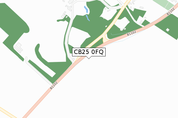
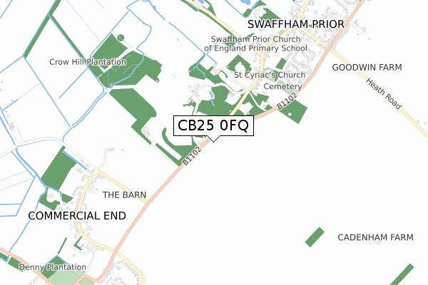
CB25 0FQ maps, stats, and open data
CB25 0FQ is located in the Burwell electoral ward, within the local authority district of East Cambridgeshire and the English Parliamentary constituency of South East Cambridgeshire. The Sub Integrated Care Board (ICB) Location is NHS Cambridgeshire and Peterborough ICB - 06H and the police force is Cambridgeshire. This postcode has been in use since October 2019.
CB25 0FQ maps


Licence: Open Government Licence (requires attribution)
Attribution: Contains OS data © Crown copyright and database right 2025
Source: Open Postcode Geo
Licence: Open Government Licence (requires attribution)
Attribution: Contains OS data © Crown copyright and database right 2025; Contains Royal Mail data © Royal Mail copyright and database right 2025; Source: Office for National Statistics licensed under the Open Government Licence v.3.0
CB25 0FQ geodata
| Easting | 559551 |
| Northing | 266080 |
| Latitude | 52.269745 |
| Longitude | 0.336883 |
Where is CB25 0FQ?
| Country | England |
| Postcode District | CB25 |
Politics
| Ward | Burwell |
|---|---|
| Constituency | South East Cambridgeshire |
Transport
Nearest bus stops to CB25 0FQ
| Barkways (Newmarket Road) | Burwell | 156m |
| Barkways (Newmarket Road) | Burwell | 164m |
| Isaacson Road | Burwell | 220m |
| Isaacson Road | Burwell | 227m |
| Greenlanes (Newmarket Road) | Burwell | 369m |
Nearest railway stations to CB25 0FQ
| Newmarket Station | 5.9km |
Deprivation
5.9% of English postcodes are less deprived than CB25 0FQ:Food Standards Agency
Three nearest food hygiene ratings to CB25 0FQ (metres)


➜ Get more ratings from the Food Standards Agency
Nearest post box to CB25 0FQ
| Last Collection | |||
|---|---|---|---|
| Location | Mon-Fri | Sat | Distance |
| Swaffham Road | 17:00 | 10:30 | 588m |
| High Street | 17:00 | 10:00 | 723m |
| Felsham Chase | 16:30 | 10:00 | 838m |
CB25 0FQ ITL and CB25 0FQ LAU
The below table lists the International Territorial Level (ITL) codes (formerly Nomenclature of Territorial Units for Statistics (NUTS) codes) and Local Administrative Units (LAU) codes for CB25 0FQ:
| ITL 1 Code | Name |
|---|---|
| TLH | East |
| ITL 2 Code | Name |
| TLH1 | East Anglia |
| ITL 3 Code | Name |
| TLH12 | Cambridgeshire CC |
| LAU 1 Code | Name |
| E07000009 | East Cambridgeshire |
CB25 0FQ census areas
The below table lists the Census Output Area (OA), Lower Layer Super Output Area (LSOA), and Middle Layer Super Output Area (MSOA) for CB25 0FQ:
| Code | Name | |
|---|---|---|
| OA | E00090872 | |
| LSOA | E01018014 | East Cambridgeshire 008B |
| MSOA | E02003739 | East Cambridgeshire 008 |
Nearest postcodes to CB25 0FQ
| CB25 0AX | Cornfields | 70m |
| CB25 0AF | Isaacson Road | 254m |
| CB25 0PA | Copperfield Way | 304m |
| CB25 0RA | Bloomsfield | 408m |
| CB25 0FB | St Marys View | 448m |
| CB25 0FE | Cedar Gardens | 457m |
| CB25 0JR | Lime Close | 521m |
| CB25 0HB | High Street | 525m |
| CB25 0HH | Lime Close | 527m |
| CB25 0AE | Newmarket Road | 527m |