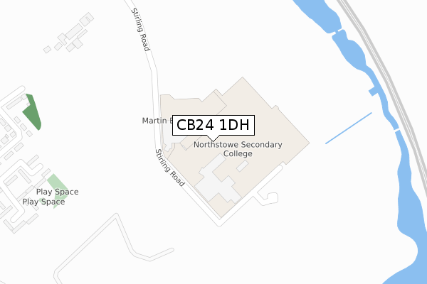
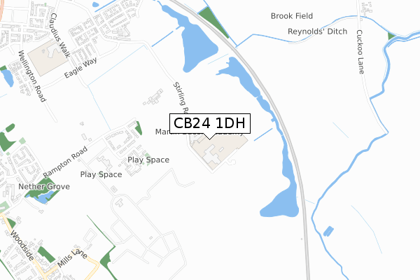
CB24 1DH is located in the Longstanton electoral ward, within the local authority district of South Cambridgeshire and the English Parliamentary constituency of South Cambridgeshire. The Sub Integrated Care Board (ICB) Location is NHS Cambridgeshire and Peterborough ICB - 06H and the police force is Cambridgeshire. This postcode has been in use since September 2019.


GetTheData
Source: OS Open Zoomstack (Ordnance Survey)
Licence: Open Government Licence (requires attribution)
Attribution: Contains OS data © Crown copyright and database right 2025
Source: Open Postcode Geo
Licence: Open Government Licence (requires attribution)
Attribution: Contains OS data © Crown copyright and database right 2025; Contains Royal Mail data © Royal Mail copyright and database right 2025; Source: Office for National Statistics licensed under the Open Government Licence v.3.0
| Easting | 541036 |
| Northing | 266850 |
| Latitude | 52.281719 |
| Longitude | 0.066065 |
GetTheData
Source: Open Postcode Geo
Licence: Open Government Licence
| Country | England |
| Postcode District | CB24 |
➜ See where CB24 is on a map ➜ Where is Northstowe? | |
GetTheData
Source: Land Registry Price Paid Data
Licence: Open Government Licence
| Ward | Longstanton |
| Constituency | South Cambridgeshire |
GetTheData
Source: ONS Postcode Database
Licence: Open Government Licence
| High Street | Longstanton | 1,278m |
| High Street (School Lane) | Longstanton | 1,283m |
| The Busway Longstanton Park & Ride (Cambridgeshire Guided Busway) | Longstanton | 1,329m |
| Longstanton Park-and-ride (Station Road) | Longstanton | 1,357m |
| The Busway Longstanton Park & Ride (Cambridgeshire Guided Busway) | Longstanton | 1,364m |
GetTheData
Source: NaPTAN
Licence: Open Government Licence
GetTheData
Source: ONS Postcode Database
Licence: Open Government Licence


➜ Get more ratings from the Food Standards Agency
GetTheData
Source: Food Standards Agency
Licence: FSA terms & conditions
| Last Collection | |||
|---|---|---|---|
| Location | Mon-Fri | Sat | Distance |
| St Michaels | 16:15 | 11:00 | 1,258m |
| Longstanton P.o. | 16:45 | 10:45 | 1,279m |
| All Saints | 16:15 | 10:45 | 1,460m |
GetTheData
Source: Dracos
Licence: Creative Commons Attribution-ShareAlike
The below table lists the International Territorial Level (ITL) codes (formerly Nomenclature of Territorial Units for Statistics (NUTS) codes) and Local Administrative Units (LAU) codes for CB24 1DH:
| ITL 1 Code | Name |
|---|---|
| TLH | East |
| ITL 2 Code | Name |
| TLH1 | East Anglia |
| ITL 3 Code | Name |
| TLH12 | Cambridgeshire CC |
| LAU 1 Code | Name |
| E07000012 | South Cambridgeshire |
GetTheData
Source: ONS Postcode Directory
Licence: Open Government Licence
The below table lists the Census Output Area (OA), Lower Layer Super Output Area (LSOA), and Middle Layer Super Output Area (MSOA) for CB24 1DH:
| Code | Name | |
|---|---|---|
| OA | E00092126 | |
| LSOA | E01018266 | South Cambridgeshire 003B |
| MSOA | E02003777 | South Cambridgeshire 003 |
GetTheData
Source: ONS Postcode Directory
Licence: Open Government Licence
| CB24 3EW | Rampton Drift | 384m |
| CB24 3EH | Rampton Drift | 401m |
| CB24 3EG | Magdalene Close | 999m |
| CB24 3EQ | Magdalene Close | 1039m |
| CB24 3EN | Rampton Road | 1089m |
| CB24 3DG | Mills Lane | 1108m |
| CB24 3EL | Nether Grove | 1152m |
| CB24 3DD | St Michaels Lane | 1165m |
| CB24 3EF | Thornhill Place | 1182m |
| CB24 3BU | Woodside | 1185m |
GetTheData
Source: Open Postcode Geo; Land Registry Price Paid Data
Licence: Open Government Licence