CB23 7ER maps, stats, and open data
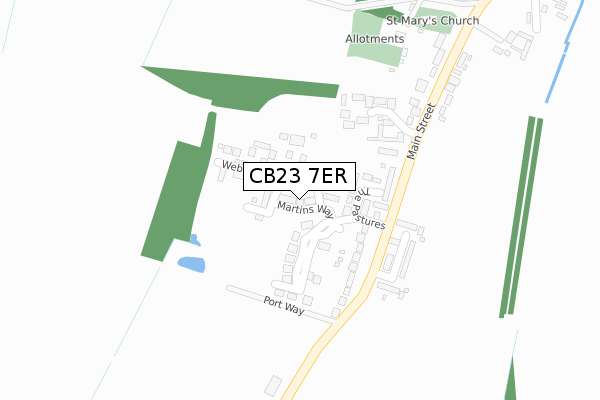
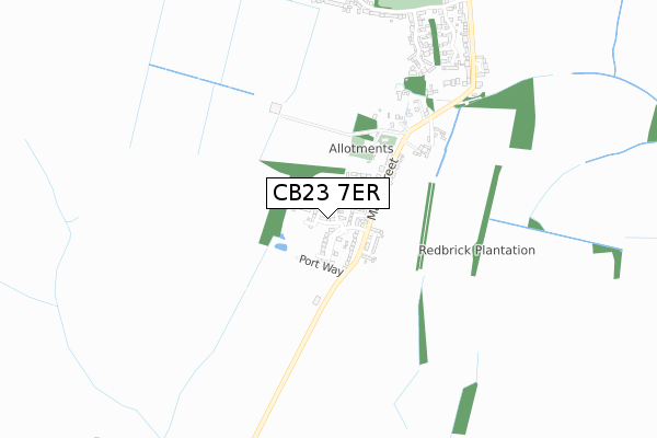
CB23 7ER is located in the Hardwick electoral ward, within the local authority district of South Cambridgeshire and the English Parliamentary constituency of South Cambridgeshire. The Sub Integrated Care Board (ICB) Location is NHS Cambridgeshire and Peterborough ICB - 06H and the police force is Cambridgeshire. This postcode has been in use since November 2019.
CB23 7ER maps


Licence: Open Government Licence (requires attribution)
Attribution: Contains OS data © Crown copyright and database right 2025
Source: Open Postcode Geo
Licence: Open Government Licence (requires attribution)
Attribution: Contains OS data © Crown copyright and database right 2025; Contains Royal Mail data © Royal Mail copyright and database right 2025; Source: Office for National Statistics licensed under the Open Government Licence v.3.0
CB23 7ER geodata
| Easting | 537037 |
| Northing | 258309 |
| Latitude | 52.205988 |
| Longitude | 0.004021 |
Where is CB23 7ER?
| Country | England |
| Postcode District | CB23 |
Politics
| Ward | Hardwick |
|---|---|
| Constituency | South Cambridgeshire |
House Prices
Sales of detached houses in CB23 7ER
2024 22 NOV £458,000 |
8, MARTINS WAY, HARDWICK, CAMBRIDGE, CB23 7ER 2021 17 SEP £650,000 |
2020 20 JUL £591,950 |
4, MARTINS WAY, HARDWICK, CAMBRIDGE, CB23 7ER 2020 21 APR £351,953 |
10, MARTINS WAY, HARDWICK, CAMBRIDGE, CB23 7ER 2020 18 MAR £409,995 |
6, MARTINS WAY, HARDWICK, CAMBRIDGE, CB23 7ER 2020 11 MAR £371,000 |
2020 6 MAR £409,950 |
2, MARTINS WAY, HARDWICK, CAMBRIDGE, CB23 7ER 2020 21 FEB £373,000 |
Licence: Contains HM Land Registry data © Crown copyright and database right 2025. This data is licensed under the Open Government Licence v3.0.
Transport
Nearest bus stops to CB23 7ER
| Portway Road (Hardwick Road) | Hardwick | 159m |
| Portway Road (Hardwick Road) | Hardwick | 168m |
| St Mary's Church (Main Street) | Hardwick | 399m |
| St Mary's Church (Main Street) | Hardwick | 402m |
| Ashmead Drive (Egremont Road) | Hardwick | 861m |
Deprivation
10.5% of English postcodes are less deprived than CB23 7ER:Food Standards Agency
Three nearest food hygiene ratings to CB23 7ER (metres)


➜ Get more ratings from the Food Standards Agency
Nearest post box to CB23 7ER
| Last Collection | |||
|---|---|---|---|
| Location | Mon-Fri | Sat | Distance |
| Cambridge Road | 18:00 | 11:15 | 388m |
| Ellison Lane | 18:00 | 11:15 | 1,000m |
| Hardwick Post Office | 18:00 | 11:15 | 1,184m |
CB23 7ER ITL and CB23 7ER LAU
The below table lists the International Territorial Level (ITL) codes (formerly Nomenclature of Territorial Units for Statistics (NUTS) codes) and Local Administrative Units (LAU) codes for CB23 7ER:
| ITL 1 Code | Name |
|---|---|
| TLH | East |
| ITL 2 Code | Name |
| TLH1 | East Anglia |
| ITL 3 Code | Name |
| TLH12 | Cambridgeshire CC |
| LAU 1 Code | Name |
| E07000012 | South Cambridgeshire |
CB23 7ER census areas
The below table lists the Census Output Area (OA), Lower Layer Super Output Area (LSOA), and Middle Layer Super Output Area (MSOA) for CB23 7ER:
| Code | Name | |
|---|---|---|
| OA | E00092062 | |
| LSOA | E01018252 | South Cambridgeshire 010D |
| MSOA | E02003784 | South Cambridgeshire 010 |
Nearest postcodes to CB23 7ER
| CB23 7XA | The Pastures | 89m |
| CB23 7AH | Grace Crescent | 110m |
| CB23 7QU | Main Street | 151m |
| CB23 7YE | Sadlers Close | 153m |
| CB23 7QE | Manor Crescent | 185m |
| CB23 7QF | Portway Road | 201m |
| CB23 7QS | Main Street | 534m |
| CB23 7XT | Ashmead Drive | 735m |
| CB23 7XS | Sudeley Grove | 787m |
| CB23 7XR | Egremont Road | 815m |