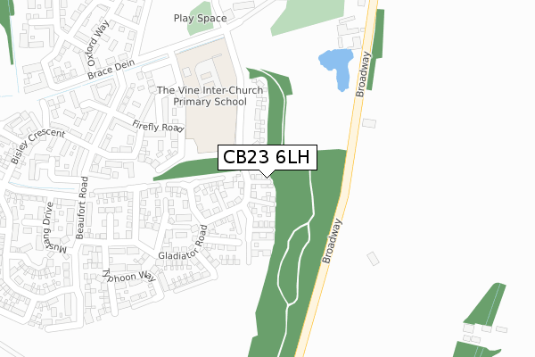
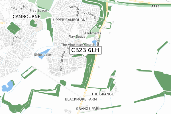
CB23 6LH is located in the Cambourne electoral ward, within the local authority district of South Cambridgeshire and the English Parliamentary constituency of South Cambridgeshire. The Sub Integrated Care Board (ICB) Location is NHS Cambridgeshire and Peterborough ICB - 06H and the police force is Cambridgeshire. This postcode has been in use since November 2021.


GetTheData
Source: OS Open Zoomstack (Ordnance Survey)
Licence: Open Government Licence (requires attribution)
Attribution: Contains OS data © Crown copyright and database right 2025
Source: Open Postcode Geo
Licence: Open Government Licence (requires attribution)
Attribution: Contains OS data © Crown copyright and database right 2025; Contains Royal Mail data © Royal Mail copyright and database right 2025; Source: Office for National Statistics licensed under the Open Government Licence v.3.0
| Easting | 532024 |
| Northing | 259502 |
| Latitude | 52.217931 |
| Longitude | -0.068831 |
GetTheData
Source: Open Postcode Geo
Licence: Open Government Licence
| Country | England |
| Postcode District | CB23 |
➜ See where CB23 is on a map ➜ Where is Cambourne? | |
GetTheData
Source: Land Registry Price Paid Data
Licence: Open Government Licence
| Ward | Cambourne |
| Constituency | South Cambridgeshire |
GetTheData
Source: ONS Postcode Database
Licence: Open Government Licence
| Priory Walk (Monkfield Lane) | Great Cambourne | 60m |
| De La Warr Way (Broad Street) | Cambourne | 121m |
| Sackville Way (High Street) | Cambourne | 122m |
| De La Warr Way (Broad Street) | Cambourne | 155m |
| Monkfield Park Primary School (School Lane) | Cambourne | 235m |
GetTheData
Source: NaPTAN
Licence: Open Government Licence
GetTheData
Source: ONS Postcode Database
Licence: Open Government Licence


➜ Get more ratings from the Food Standards Agency
GetTheData
Source: Food Standards Agency
Licence: FSA terms & conditions
| Last Collection | |||
|---|---|---|---|
| Location | Mon-Fri | Sat | Distance |
| Monkfield Lane | 17:00 | 10:30 | 280m |
| School Lane | 16:45 | 10:30 | 499m |
| Monks Drive | 17:30 | 11:00 | 835m |
GetTheData
Source: Dracos
Licence: Creative Commons Attribution-ShareAlike
The below table lists the International Territorial Level (ITL) codes (formerly Nomenclature of Territorial Units for Statistics (NUTS) codes) and Local Administrative Units (LAU) codes for CB23 6LH:
| ITL 1 Code | Name |
|---|---|
| TLH | East |
| ITL 2 Code | Name |
| TLH1 | East Anglia |
| ITL 3 Code | Name |
| TLH12 | Cambridgeshire CC |
| LAU 1 Code | Name |
| E07000012 | South Cambridgeshire |
GetTheData
Source: ONS Postcode Directory
Licence: Open Government Licence
The below table lists the Census Output Area (OA), Lower Layer Super Output Area (LSOA), and Middle Layer Super Output Area (MSOA) for CB23 6LH:
| Code | Name | |
|---|---|---|
| OA | E00091954 | |
| LSOA | E01033114 | South Cambridgeshire 020B |
| MSOA | E02006873 | South Cambridgeshire 020 |
GetTheData
Source: ONS Postcode Directory
Licence: Open Government Licence
| CB23 6JX | High Street | 57m |
| CB23 5BL | Priory Walk | 62m |
| CB23 6GX | High Street | 66m |
| CB23 5AR | Saunders Court | 119m |
| CB23 6AL | Maple Close | 140m |
| CB23 6EL | Broad Street | 161m |
| CB23 5AS | Douglas Way | 164m |
| CB23 6AH | Monkfield Lane | 186m |
| CB23 6HH | Broad Street | 187m |
| CB23 6AJ | Monkfield Lane | 197m |
GetTheData
Source: Open Postcode Geo; Land Registry Price Paid Data
Licence: Open Government Licence