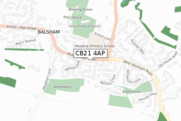
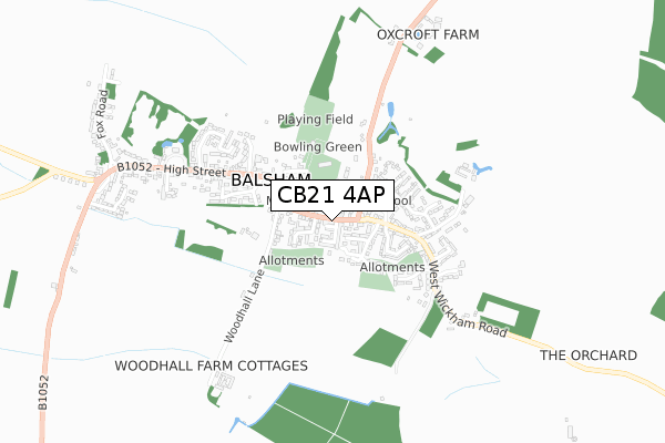
CB21 4AP is located in the Balsham electoral ward, within the local authority district of South Cambridgeshire and the English Parliamentary constituency of South East Cambridgeshire. The Sub Integrated Care Board (ICB) Location is NHS Cambridgeshire and Peterborough ICB - 06H and the police force is Cambridgeshire. This postcode has been in use since June 2019.


GetTheData
Source: OS Open Zoomstack (Ordnance Survey)
Licence: Open Government Licence (requires attribution)
Attribution: Contains OS data © Crown copyright and database right 2025
Source: Open Postcode Geo
Licence: Open Government Licence (requires attribution)
Attribution: Contains OS data © Crown copyright and database right 2025; Contains Royal Mail data © Royal Mail copyright and database right 2025; Source: Office for National Statistics licensed under the Open Government Licence v.3.0
| Easting | 558818 |
| Northing | 250649 |
| Latitude | 52.131338 |
| Longitude | 0.318924 |
GetTheData
Source: Open Postcode Geo
Licence: Open Government Licence
| Country | England |
| Postcode District | CB21 |
➜ See where CB21 is on a map ➜ Where is Balsham? | |
GetTheData
Source: Land Registry Price Paid Data
Licence: Open Government Licence
| Ward | Balsham |
| Constituency | South East Cambridgeshire |
GetTheData
Source: ONS Postcode Database
Licence: Open Government Licence
| West Wratting Road (High Street) | Balsham | 76m |
| West Wratting Road (High Street) | Balsham | 83m |
| May's Avenue (High Street) | Balsham | 257m |
| May's Avenue (High Street) | Balsham | 359m |
| Fox Road (High Street) | Balsham | 772m |
GetTheData
Source: NaPTAN
Licence: Open Government Licence
GetTheData
Source: ONS Postcode Database
Licence: Open Government Licence


➜ Get more ratings from the Food Standards Agency
GetTheData
Source: Food Standards Agency
Licence: FSA terms & conditions
| Last Collection | |||
|---|---|---|---|
| Location | Mon-Fri | Sat | Distance |
| Streetley End | 16:45 | 10:15 | 3,711m |
| Dolphin Close | 17:15 | 11:15 | 4,127m |
| Horseheath Post Office | 17:00 | 10:30 | 4,184m |
GetTheData
Source: Dracos
Licence: Creative Commons Attribution-ShareAlike
The below table lists the International Territorial Level (ITL) codes (formerly Nomenclature of Territorial Units for Statistics (NUTS) codes) and Local Administrative Units (LAU) codes for CB21 4AP:
| ITL 1 Code | Name |
|---|---|
| TLH | East |
| ITL 2 Code | Name |
| TLH1 | East Anglia |
| ITL 3 Code | Name |
| TLH12 | Cambridgeshire CC |
| LAU 1 Code | Name |
| E07000012 | South Cambridgeshire |
GetTheData
Source: ONS Postcode Directory
Licence: Open Government Licence
The below table lists the Census Output Area (OA), Lower Layer Super Output Area (LSOA), and Middle Layer Super Output Area (MSOA) for CB21 4AP:
| Code | Name | |
|---|---|---|
| OA | E00091899 | |
| LSOA | E01018219 | South Cambridgeshire 016B |
| MSOA | E02003790 | South Cambridgeshire 016 |
GetTheData
Source: ONS Postcode Directory
Licence: Open Government Licence
| CB21 4DP | Sleford Close | 111m |
| CB21 4DJ | High Street | 123m |
| CB21 4EA | Bartons Close | 136m |
| CB21 4DW | Trinity Close | 138m |
| CB21 4DG | School Lane | 138m |
| CB21 4EJ | Hay Close | 161m |
| CB21 4DY | Burrell Way | 193m |
| CB21 4DT | Woodhall Lane | 233m |
| CB21 4EH | The Hawthorns | 236m |
| CB21 4EQ | Horseshoe Close | 249m |
GetTheData
Source: Open Postcode Geo; Land Registry Price Paid Data
Licence: Open Government Licence