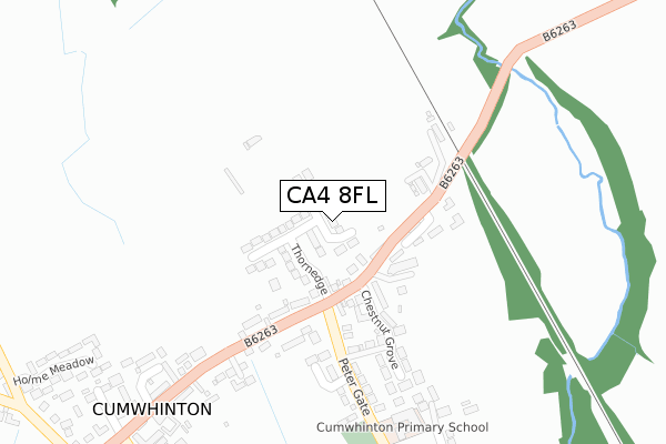
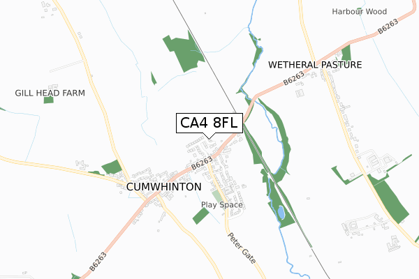
CA4 8FL is located in the Wetheral electoral ward, within the unitary authority of Cumberland and the English Parliamentary constituency of Carlisle. The Sub Integrated Care Board (ICB) Location is NHS North East and North Cumbria ICB - 01H and the police force is Cumbria. This postcode has been in use since July 2018.


GetTheData
Source: OS Open Zoomstack (Ordnance Survey)
Licence: Open Government Licence (requires attribution)
Attribution: Contains OS data © Crown copyright and database right 2025
Source: Open Postcode Geo
Licence: Open Government Licence (requires attribution)
Attribution: Contains OS data © Crown copyright and database right 2025; Contains Royal Mail data © Royal Mail copyright and database right 2025; Source: Office for National Statistics licensed under the Open Government Licence v.3.0
| Easting | 345243 |
| Northing | 552997 |
| Latitude | 54.868741 |
| Longitude | -2.854733 |
GetTheData
Source: Open Postcode Geo
Licence: Open Government Licence
| Country | England |
| Postcode District | CA4 |
➜ See where CA4 is on a map | |
GetTheData
Source: Land Registry Price Paid Data
Licence: Open Government Licence
| Ward | Wetheral |
| Constituency | Carlisle |
GetTheData
Source: ONS Postcode Database
Licence: Open Government Licence
| The Chestnuts (B6263) | Cumwhinton | 121m |
| Southways (Steele Bank) | Cumwhinton | 143m |
| Cotehill Road End (B6263) | Cumwhinton | 153m |
| Cotehill Road End (B6263) | Cumwhinton | 161m |
| Ashcroft Farm (B6263) | Cumwhinton | 479m |
| Wetheral Station | 2.2km |
GetTheData
Source: NaPTAN
Licence: Open Government Licence
| Percentage of properties with Next Generation Access | 100.0% |
| Percentage of properties with Superfast Broadband | 100.0% |
| Percentage of properties with Ultrafast Broadband | 0.0% |
| Percentage of properties with Full Fibre Broadband | 0.0% |
Superfast Broadband is between 30Mbps and 300Mbps
Ultrafast Broadband is > 300Mbps
| Median download speed | 40.0Mbps |
| Average download speed | 43.0Mbps |
| Maximum download speed | 73.21Mbps |
| Median upload speed | 10.0Mbps |
| Average upload speed | 10.1Mbps |
| Maximum upload speed | 19.53Mbps |
| Percentage of properties unable to receive 2Mbps | 0.0% |
| Percentage of properties unable to receive 5Mbps | 0.0% |
| Percentage of properties unable to receive 10Mbps | 0.0% |
| Percentage of properties unable to receive 30Mbps | 0.0% |
GetTheData
Source: Ofcom
Licence: Ofcom Terms of Use (requires attribution)
GetTheData
Source: ONS Postcode Database
Licence: Open Government Licence


➜ Get more ratings from the Food Standards Agency
GetTheData
Source: Food Standards Agency
Licence: FSA terms & conditions
| Last Collection | |||
|---|---|---|---|
| Location | Mon-Fri | Sat | Distance |
| Cumwhinton | 17:00 | 12:30 | 133m |
| Cumwhinton West | 11:30 | 09:15 | 518m |
| Wetheral Pasture | 10:45 | 09:00 | 918m |
GetTheData
Source: Dracos
Licence: Creative Commons Attribution-ShareAlike
The below table lists the International Territorial Level (ITL) codes (formerly Nomenclature of Territorial Units for Statistics (NUTS) codes) and Local Administrative Units (LAU) codes for CA4 8FL:
| ITL 1 Code | Name |
|---|---|
| TLD | North West (England) |
| ITL 2 Code | Name |
| TLD1 | Cumbria |
| ITL 3 Code | Name |
| TLD12 | East Cumbria |
| LAU 1 Code | Name |
| E07000028 | Carlisle |
GetTheData
Source: ONS Postcode Directory
Licence: Open Government Licence
The below table lists the Census Output Area (OA), Lower Layer Super Output Area (LSOA), and Middle Layer Super Output Area (MSOA) for CA4 8FL:
| Code | Name | |
|---|---|---|
| OA | E00097295 | |
| LSOA | E01019250 | Carlisle 007E |
| MSOA | E02003993 | Carlisle 007 |
GetTheData
Source: ONS Postcode Directory
Licence: Open Government Licence
| CA4 8DJ | Station Road | 118m |
| CA4 8ER | 142m | |
| CA4 8DZ | Low Croft | 144m |
| CA4 8DY | The Chestnuts | 146m |
| CA4 8EA | Station Road | 183m |
| CA4 8FB | Quentin Gardens | 251m |
| CA4 8DX | West View | 259m |
| CA4 8EL | Chestnut Grove | 260m |
| CA4 8DU | School Road | 342m |
| CA4 8EJ | Beech Tree Farm | 360m |
GetTheData
Source: Open Postcode Geo; Land Registry Price Paid Data
Licence: Open Government Licence