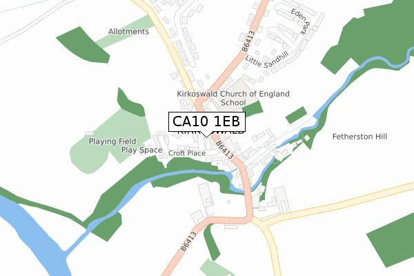
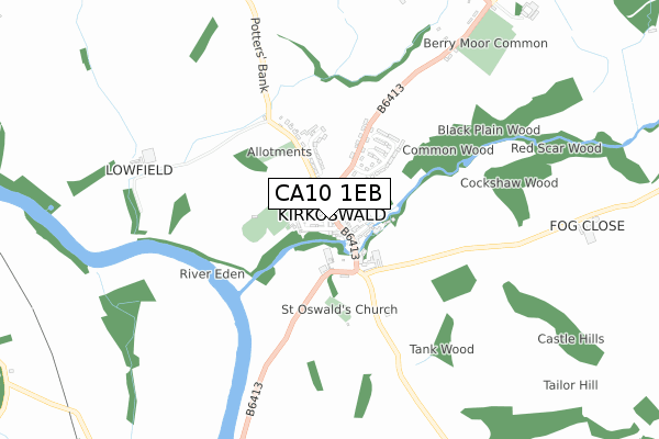
CA10 1EB maps, stats, and open data
CA10 1EB is located in the Alston and Fellside electoral ward, within the unitary authority of Westmorland and Furness and the English Parliamentary constituency of Penrith and The Border. The Sub Integrated Care Board (ICB) Location is NHS North East and North Cumbria ICB - 01H and the police force is Cumbria. This postcode has been in use since February 2020.
CA10 1EB maps


Licence: Open Government Licence (requires attribution)
Attribution: Contains OS data © Crown copyright and database right 2025
Source: Open Postcode Geo
Licence: Open Government Licence (requires attribution)
Attribution: Contains OS data © Crown copyright and database right 2025; Contains Royal Mail data © Royal Mail copyright and database right 2025; Source: Office for National Statistics licensed under the Open Government Licence v.3.0
CA10 1EB geodata
| Easting | 355467 |
| Northing | 541243 |
| Latitude | 54.764139 |
| Longitude | -2.693629 |
Where is CA10 1EB?
| Country | England |
| Postcode District | CA10 |
Politics
| Ward | Alston And Fellside |
|---|---|
| Constituency | Penrith And The Border |
Transport
Nearest bus stops to CA10 1EB
| Market Square (B6413) | Kirkoswald | 50m |
| Market Square (B6413) | Kirkoswald | 66m |
| Berry Moor Common (B6413) | High Bankhill | 994m |
| Berry Moor Common (B6413) | High Bankhill | 995m |
Nearest railway stations to CA10 1EB
| Lazonby & Kirkoswald Station | 1.6km |
Deprivation
49.1% of English postcodes are less deprived than CA10 1EB:Food Standards Agency
Three nearest food hygiene ratings to CA10 1EB (metres)


➜ Get more ratings from the Food Standards Agency
Nearest post box to CA10 1EB
| Last Collection | |||
|---|---|---|---|
| Location | Mon-Fri | Sat | Distance |
| Kirkoswald | 16:00 | 10:35 | 136m |
| High Bank Hill | 15:45 | 08:45 | 1,000m |
| Lazonby | 16:05 | 11:55 | 1,715m |
CA10 1EB ITL and CA10 1EB LAU
The below table lists the International Territorial Level (ITL) codes (formerly Nomenclature of Territorial Units for Statistics (NUTS) codes) and Local Administrative Units (LAU) codes for CA10 1EB:
| ITL 1 Code | Name |
|---|---|
| TLD | North West (England) |
| ITL 2 Code | Name |
| TLD1 | Cumbria |
| ITL 3 Code | Name |
| TLD12 | East Cumbria |
| LAU 1 Code | Name |
| E07000030 | Eden |
CA10 1EB census areas
The below table lists the Census Output Area (OA), Lower Layer Super Output Area (LSOA), and Middle Layer Super Output Area (MSOA) for CA10 1EB:
| Code | Name | |
|---|---|---|
| OA | E00097644 | |
| LSOA | E01019320 | Eden 001C |
| MSOA | E02004008 | Eden 001 |
Nearest postcodes to CA10 1EB
| CA10 1DG | Raven Bank | 40m |
| CA10 1DF | The Square | 53m |
| CA10 1ED | Baron Wood View | 58m |
| CA10 1DQ | 79m | |
| CA10 1EE | 81m | |
| CA10 1EQ | Fetherston Hill | 110m |
| CA10 1EF | Roods Place | 226m |
| CA10 1EL | Little Sandhill | 240m |
| CA10 1EN | 261m | |
| CA10 1EW | 297m |