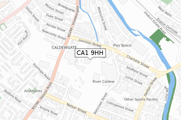
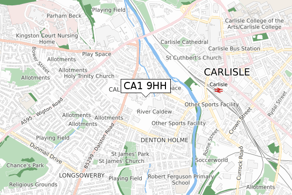
CA1 9HH is located in the Denton Holme electoral ward, within the unitary authority of Cumberland and the English Parliamentary constituency of Carlisle. The Sub Integrated Care Board (ICB) Location is NHS North East and North Cumbria ICB - 01H and the police force is Cumbria. This postcode has been in use since September 2018.


GetTheData
Source: OS Open Zoomstack (Ordnance Survey)
Licence: Open Government Licence (requires attribution)
Attribution: Contains OS data © Crown copyright and database right 2025
Source: Open Postcode Geo
Licence: Open Government Licence (requires attribution)
Attribution: Contains OS data © Crown copyright and database right 2025; Contains Royal Mail data © Royal Mail copyright and database right 2025; Source: Office for National Statistics licensed under the Open Government Licence v.3.0
| Easting | 339560 |
| Northing | 555499 |
| Latitude | 54.890566 |
| Longitude | -2.943795 |
GetTheData
Source: Open Postcode Geo
Licence: Open Government Licence
| Country | England |
| Postcode District | CA1 |
➜ See where CA1 is on a map ➜ Where is Carlisle? | |
GetTheData
Source: Land Registry Price Paid Data
Licence: Open Government Licence
| Ward | Denton Holme |
| Constituency | Carlisle |
GetTheData
Source: ONS Postcode Database
Licence: Open Government Licence
| Royal Mail Sorting Office (Junction Street) | Caldewgate | 105m |
| Royal Mail Sorting Office (Junction Street) | Caldewgate | 108m |
| Dunelm Mill (Charlotte Street) | Shaddongate | 175m |
| Dunelm Mill (Charlotte Street) | Caldewgate | 188m |
| Pugin Street (Dalston Road) | Dalston Road | 227m |
| Carlisle Station | 0.7km |
| Dalston (Cumbria) Station | 5.7km |
GetTheData
Source: NaPTAN
Licence: Open Government Licence
GetTheData
Source: ONS Postcode Database
Licence: Open Government Licence


➜ Get more ratings from the Food Standards Agency
GetTheData
Source: Food Standards Agency
Licence: FSA terms & conditions
| Last Collection | |||
|---|---|---|---|
| Location | Mon-Fri | Sat | Distance |
| The Mail Centre | 19:30 | 16:00 | 80m |
| Murrell Hill | 18:00 | 12:45 | 305m |
| Lime Street | 18:15 | 12:30 | 418m |
GetTheData
Source: Dracos
Licence: Creative Commons Attribution-ShareAlike
The below table lists the International Territorial Level (ITL) codes (formerly Nomenclature of Territorial Units for Statistics (NUTS) codes) and Local Administrative Units (LAU) codes for CA1 9HH:
| ITL 1 Code | Name |
|---|---|
| TLD | North West (England) |
| ITL 2 Code | Name |
| TLD1 | Cumbria |
| ITL 3 Code | Name |
| TLD12 | East Cumbria |
| LAU 1 Code | Name |
| E07000028 | Carlisle |
GetTheData
Source: ONS Postcode Directory
Licence: Open Government Licence
The below table lists the Census Output Area (OA), Lower Layer Super Output Area (LSOA), and Middle Layer Super Output Area (MSOA) for CA1 9HH:
| Code | Name | |
|---|---|---|
| OA | E00097117 | |
| LSOA | E01019215 | Carlisle 008C |
| MSOA | E02003994 | Carlisle 008 |
GetTheData
Source: ONS Postcode Directory
Licence: Open Government Licence
| CA2 5XH | Junction Street | 109m |
| CA2 5WD | Shaddongate | 120m |
| CA2 5WF | Shaddongate | 145m |
| CA2 5WB | Shaddongate | 163m |
| CA2 5WE | Shaddongate | 163m |
| CA2 5UG | Shaddongate | 178m |
| CA2 5TS | John Robert Gardens | 189m |
| CA2 5UD | Shaddongate | 194m |
| CA2 5XW | Lorne Crescent | 199m |
| CA2 5NT | Pugin Street | 207m |
GetTheData
Source: Open Postcode Geo; Land Registry Price Paid Data
Licence: Open Government Licence