BS5 6FH maps, stats, and open data
- Home
- Postcode
- BS
- BS5
- BS5 6
BS5 6FH is located in the Eastville electoral ward, within the unitary authority of Bristol, City of and the English Parliamentary constituency of Bristol East. The Sub Integrated Care Board (ICB) Location is NHS Bristol, North Somerset and South Gloucestershire ICB - 15C and the police force is Avon and Somerset. This postcode has been in use since September 2018.
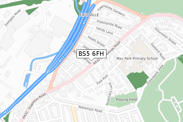
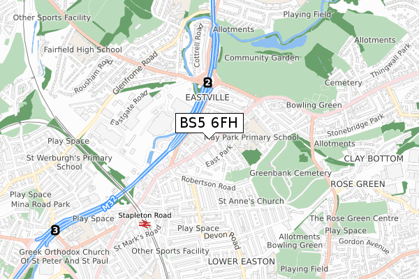
BS5 6FH maps


Source: OS Open Zoomstack (Ordnance Survey)
Licence: Open Government Licence (requires attribution)
Attribution: Contains OS data © Crown copyright and database right 2025
Source: Open Postcode GeoLicence: Open Government Licence (requires attribution)
Attribution: Contains OS data © Crown copyright and database right 2025; Contains Royal Mail data © Royal Mail copyright and database right 2025; Source: Office for National Statistics licensed under the Open Government Licence v.3.0
BS5 6FH geodata
| Easting | 361160 |
| Northing | 174903 |
| Latitude | 51.471748 |
| Longitude | -2.560583 |
Where is BS5 6FH?
| Country | England |
| Postcode District | BS5 |
Politics
| Ward | Eastville |
|---|
| Constituency | Bristol East |
|---|
Transport
Nearest bus stops to BS5 6FH
| Glen Park | Eastville | 12m |
| Glen Park (Fishponds Road) | Eastville | 29m |
| Boswell Street (B4058) | Eastville | 124m |
| Tesco Car Park (Eastgate Road) | Eastville | 292m |
| Chester Street (Robertson Road) | Eastville | 295m |
Nearest railway stations to BS5 6FH
| Stapleton Road Station | 0.6km |
| Lawrence Hill Station | 1.6km |
| Montpelier Station | 2km |
Broadband
Broadband access in BS5 6FH (2020 data)
| Percentage of properties with Next Generation Access | 100.0% |
| Percentage of properties with Superfast Broadband | 100.0% |
| Percentage of properties with Ultrafast Broadband | 100.0% |
| Percentage of properties with Full Fibre Broadband | 0.0% |
Superfast Broadband is between 30Mbps and 300Mbps
Ultrafast Broadband is > 300Mbps
Broadband limitations in BS5 6FH (2020 data)
| Percentage of properties unable to receive 2Mbps | 0.0% |
| Percentage of properties unable to receive 5Mbps | 0.0% |
| Percentage of properties unable to receive 10Mbps | 0.0% |
| Percentage of properties unable to receive 30Mbps | 0.0% |
Deprivation
88.5% of English postcodes are less deprived than
BS5 6FH:
Food Standards Agency
Three nearest food hygiene ratings to BS5 6FH (metres)
Pakeeza Halal Butcher
The New Place
119-121 Fishponds Road
65m
SSA Wholesale World of Spice
109-113 Fishponds Road
65m
➜ Get more ratings from the Food Standards Agency
Nearest post box to BS5 6FH
| | Last Collection | |
|---|
| Location | Mon-Fri | Sat | Distance |
|---|
| Tesco Eastgate Centre | 16:00 | 12:30 | 298m |
| Easton Post Office | 17:00 | 12:00 | 366m |
| Lower Easton Post Office | 17:30 | 12:30 | 436m |
BS5 6FH ITL and BS5 6FH LAU
The below table lists the International Territorial Level (ITL) codes (formerly Nomenclature of Territorial Units for Statistics (NUTS) codes) and Local Administrative Units (LAU) codes for BS5 6FH:
| ITL 1 Code | Name |
|---|
| TLK | South West (England) |
| ITL 2 Code | Name |
|---|
| TLK1 | Gloucestershire, Wiltshire and Bath/Bristol area |
| ITL 3 Code | Name |
|---|
| TLK11 | Bristol, City of |
| LAU 1 Code | Name |
|---|
| E06000023 | Bristol, City of |
BS5 6FH census areas
The below table lists the Census Output Area (OA), Lower Layer Super Output Area (LSOA), and Middle Layer Super Output Area (MSOA) for BS5 6FH:
| Code | Name |
|---|
| OA | E00073611 | |
|---|
| LSOA | E01014574 | Bristol 057D |
|---|
| MSOA | E02006890 | Bristol 057 |
|---|
Nearest postcodes to BS5 6FH


