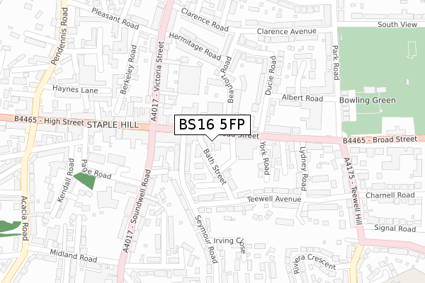
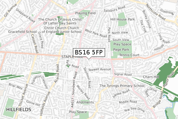
BS16 5FP is located in the Staple Hill & Mangotsfield electoral ward, within the unitary authority of South Gloucestershire and the English Parliamentary constituency of Filton and Bradley Stoke. The Sub Integrated Care Board (ICB) Location is NHS Bristol, North Somerset and South Gloucestershire ICB - 15C and the police force is Avon and Somerset. This postcode has been in use since November 2020.


GetTheData
Source: OS Open Zoomstack (Ordnance Survey)
Licence: Open Government Licence (requires attribution)
Attribution: Contains OS data © Crown copyright and database right 2025
Source: Open Postcode Geo
Licence: Open Government Licence (requires attribution)
Attribution: Contains OS data © Crown copyright and database right 2025; Contains Royal Mail data © Royal Mail copyright and database right 2025; Source: Office for National Statistics licensed under the Open Government Licence v.3.0
| Easting | 365045 |
| Northing | 175887 |
| Latitude | 51.480849 |
| Longitude | -2.504750 |
GetTheData
Source: Open Postcode Geo
Licence: Open Government Licence
| Country | England |
| Postcode District | BS16 |
➜ See where BS16 is on a map ➜ Where is Mangotsfield? | |
GetTheData
Source: Land Registry Price Paid Data
Licence: Open Government Licence
| Ward | Staple Hill & Mangotsfield |
| Constituency | Filton And Bradley Stoke |
GetTheData
Source: ONS Postcode Database
Licence: Open Government Licence
| The Portcullis (Broad Street) | Staple Hill | 92m |
| The Portcullis (Soundwell Road) | Staple Hill | 155m |
| The Portcullis (Soundwell Road) | Staple Hill | 178m |
| Teewell Hill (Broad Street) | Staple Hill | 197m |
| The Portcullis (High Street) | Staple Hill | 215m |
| Bristol Parkway Station | 4.5km |
| Stapleton Road Station | 4.5km |
| Filton Abbey Wood Station | 4.8km |
GetTheData
Source: NaPTAN
Licence: Open Government Licence
GetTheData
Source: ONS Postcode Database
Licence: Open Government Licence


➜ Get more ratings from the Food Standards Agency
GetTheData
Source: Food Standards Agency
Licence: FSA terms & conditions
| Last Collection | |||
|---|---|---|---|
| Location | Mon-Fri | Sat | Distance |
| Soundwell Road | 17:45 | 12:30 | 82m |
| Broad Street | 17:15 | 12:00 | 90m |
| Staple Hill Post Office | 17:15 | 11:45 | 249m |
GetTheData
Source: Dracos
Licence: Creative Commons Attribution-ShareAlike
The below table lists the International Territorial Level (ITL) codes (formerly Nomenclature of Territorial Units for Statistics (NUTS) codes) and Local Administrative Units (LAU) codes for BS16 5FP:
| ITL 1 Code | Name |
|---|---|
| TLK | South West (England) |
| ITL 2 Code | Name |
| TLK1 | Gloucestershire, Wiltshire and Bath/Bristol area |
| ITL 3 Code | Name |
| TLK12 | Bath and North East Somerset, North Somerset and South Gloucestershire |
| LAU 1 Code | Name |
| E06000025 | South Gloucestershire |
GetTheData
Source: ONS Postcode Directory
Licence: Open Government Licence
The below table lists the Census Output Area (OA), Lower Layer Super Output Area (LSOA), and Middle Layer Super Output Area (MSOA) for BS16 5FP:
| Code | Name | |
|---|---|---|
| OA | E00075658 | |
| LSOA | E01014977 | South Gloucestershire 025E |
| MSOA | E02003114 | South Gloucestershire 025 |
GetTheData
Source: ONS Postcode Directory
Licence: Open Government Licence
| BS16 5NS | Broad Street | 10m |
| BS16 5NU | Broad Street | 50m |
| BS16 5LR | The Square | 61m |
| BS16 5NT | Bath Street | 78m |
| BS16 5LS | Broad Street | 82m |
| BS16 4TG | Seymour Road | 94m |
| BS16 5NX | Broad Street | 105m |
| BS16 5LN | Broad Street | 107m |
| BS16 5JX | Beaufort Road | 123m |
| BS16 5JR | Ducie Road | 126m |
GetTheData
Source: Open Postcode Geo; Land Registry Price Paid Data
Licence: Open Government Licence