BS13 8EN maps, stats, and open data
- Home
- Postcode
- BS
- BS13
- BS13 8
BS13 8EN is located in the Bishopsworth electoral ward, within the unitary authority of Bristol, City of and the English Parliamentary constituency of Bristol South. The Sub Integrated Care Board (ICB) Location is NHS Bristol, North Somerset and South Gloucestershire ICB - 15C and the police force is Avon and Somerset. This postcode has been in use since December 2017.
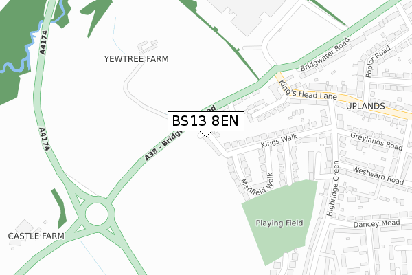
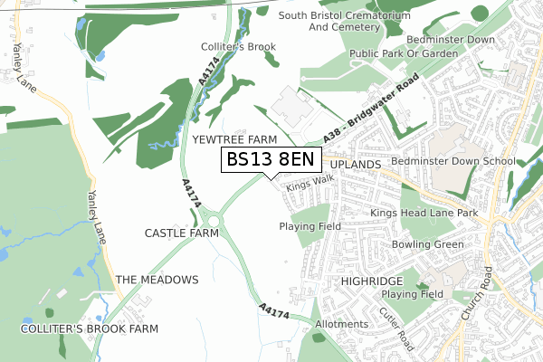
BS13 8EN maps


Source: OS Open Zoomstack (Ordnance Survey)
Licence: Open Government Licence (requires attribution)
Attribution: Contains OS data © Crown copyright and database right 2025
Source: Open Postcode GeoLicence: Open Government Licence (requires attribution)
Attribution: Contains OS data © Crown copyright and database right 2025; Contains Royal Mail data © Royal Mail copyright and database right 2025; Source: Office for National Statistics licensed under the Open Government Licence v.3.0
BS13 8EN geodata
| Easting | 356159 |
| Northing | 169206 |
| Latitude | 51.420159 |
| Longitude | -2.631874 |
Where is BS13 8EN?
| Country | England |
| Postcode District | BS13 |
Politics
| Ward | Bishopsworth |
|---|
| Constituency | Bristol South |
|---|
Transport
Nearest bus stops to BS13 8EN
| Kings Head Lane (Bridgwater Road) | Highridge | 168m |
| Kings Head Lane | Highridge | 283m |
| Kings Head Lane (Highridge Green) | Highridge | 317m |
| Bridgwater Road | Highridge | 319m |
| Dancey Mead (Highridge Green) | Highridge | 344m |
Nearest railway stations to BS13 8EN
| Parson Street Station | 2.2km |
| Bedminster Station | 3.4km |
| Bristol Temple Meads Station | 4.8km |
Broadband
Broadband access in BS13 8EN (2020 data)
| Percentage of properties with Next Generation Access | 100.0% |
| Percentage of properties with Superfast Broadband | 100.0% |
| Percentage of properties with Ultrafast Broadband | 0.0% |
| Percentage of properties with Full Fibre Broadband | 0.0% |
Superfast Broadband is between 30Mbps and 300Mbps
Ultrafast Broadband is > 300Mbps
Broadband speed in BS13 8EN (2019 data)
Download
| Median download speed | 57.5Mbps |
| Average download speed | 55.2Mbps |
| Maximum download speed | 78.11Mbps |
Upload
| Median upload speed | 19.0Mbps |
| Average upload speed | 17.1Mbps |
| Maximum upload speed | 20.00Mbps |
Broadband limitations in BS13 8EN (2020 data)
| Percentage of properties unable to receive 2Mbps | 0.0% |
| Percentage of properties unable to receive 5Mbps | 0.0% |
| Percentage of properties unable to receive 10Mbps | 0.0% |
| Percentage of properties unable to receive 30Mbps | 0.0% |
Deprivation
38.3% of English postcodes are less deprived than
BS13 8EN:
Food Standards Agency
Three nearest food hygiene ratings to BS13 8EN (metres)
Baxterstorey - Computershare Bristol
Kingshead Public House
Yew Tree Farm
➜ Get more ratings from the Food Standards Agency
Nearest post box to BS13 8EN
| | Last Collection | |
|---|
| Location | Mon-Fri | Sat | Distance |
|---|
| Highridge Green | 16:45 | 12:15 | 1,003m |
| Bishopsworth Post Office | 18:00 | 11:45 | 1,088m |
| Cheddar Grove | 17:00 | 11:45 | 1,230m |
BS13 8EN ITL and BS13 8EN LAU
The below table lists the International Territorial Level (ITL) codes (formerly Nomenclature of Territorial Units for Statistics (NUTS) codes) and Local Administrative Units (LAU) codes for BS13 8EN:
| ITL 1 Code | Name |
|---|
| TLK | South West (England) |
| ITL 2 Code | Name |
|---|
| TLK1 | Gloucestershire, Wiltshire and Bath/Bristol area |
| ITL 3 Code | Name |
|---|
| TLK11 | Bristol, City of |
| LAU 1 Code | Name |
|---|
| E06000023 | Bristol, City of |
BS13 8EN census areas
The below table lists the Census Output Area (OA), Lower Layer Super Output Area (LSOA), and Middle Layer Super Output Area (MSOA) for BS13 8EN:
| Code | Name |
|---|
| OA | E00073331 | |
|---|
| LSOA | E01014520 | Bristol 046C |
|---|
| MSOA | E02003057 | Bristol 046 |
|---|
Nearest postcodes to BS13 8EN


