BS11 0FL maps, stats, and open data
- Home
- Postcode
- BS
- BS11
- BS11 0
BS11 0FL is located in the Avonmouth and Lawrence Weston electoral ward, within the unitary authority of Bristol, City of and the English Parliamentary constituency of Bristol North West. The Sub Integrated Care Board (ICB) Location is NHS Bristol, North Somerset and South Gloucestershire ICB - 15C and the police force is Avon and Somerset. This postcode has been in use since August 2017.
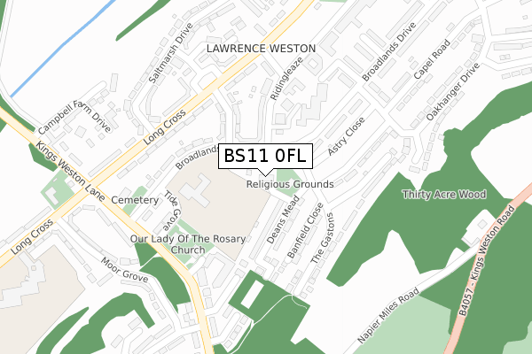
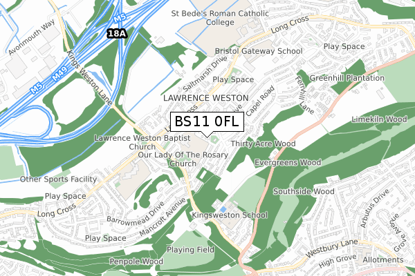
BS11 0FL maps


Source: OS Open Zoomstack (Ordnance Survey)
Licence: Open Government Licence (requires attribution)
Attribution: Contains OS data © Crown copyright and database right 2025
Source: Open Postcode GeoLicence: Open Government Licence (requires attribution)
Attribution: Contains OS data © Crown copyright and database right 2025; Contains Royal Mail data © Royal Mail copyright and database right 2025; Source: Office for National Statistics licensed under the Open Government Licence v.3.0
BS11 0FL geodata
| Easting | 354261 |
| Northing | 178012 |
| Latitude | 51.499183 |
| Longitude | -2.660310 |
Where is BS11 0FL?
| Country | England |
| Postcode District | BS11 |
Politics
| Ward | Avonmouth And Lawrence Weston |
|---|
| Constituency | Bristol North West |
|---|
Transport
Nearest bus stops to BS11 0FL
| Moor Grove (Long Cross) | Lawrence Weston | 256m |
| Broadlands Drive (Kings Weston Lane) | Lawrence Weston | 291m |
| Tufton Avenue (Kings Weston Lane) | Lawrence Weston | 304m |
| Tufton Avenue (Kings Weston Lane) | Lawrence Weston | 308m |
| Long Cross Lay-by (Long Cross) | Lawrence Weston | 332m |
Nearest railway stations to BS11 0FL
| Shirehampton Station | 2.1km |
| Sea Mills Station | 2.3km |
| Avonmouth Station | 2.7km |
Broadband
Broadband access in BS11 0FL (2020 data)
| Percentage of properties with Next Generation Access | 100.0% |
| Percentage of properties with Superfast Broadband | 100.0% |
| Percentage of properties with Ultrafast Broadband | 100.0% |
| Percentage of properties with Full Fibre Broadband | 0.0% |
Superfast Broadband is between 30Mbps and 300Mbps
Ultrafast Broadband is > 300Mbps
Broadband speed in BS11 0FL (2019 data)
Download
| Median download speed | 45.0Mbps |
| Average download speed | 131.9Mbps |
| Maximum download speed | 500.00Mbps |
Upload
| Median upload speed | 8.4Mbps |
| Average upload speed | 8.7Mbps |
| Maximum upload speed | 10.48Mbps |
Broadband limitations in BS11 0FL (2020 data)
| Percentage of properties unable to receive 2Mbps | 0.0% |
| Percentage of properties unable to receive 5Mbps | 0.0% |
| Percentage of properties unable to receive 10Mbps | 0.0% |
| Percentage of properties unable to receive 30Mbps | 0.0% |
Deprivation
94.5% of English postcodes are less deprived than
BS11 0FL:
Food Standards Agency
Three nearest food hygiene ratings to BS11 0FL (metres)
Elior UK
Chartwells
Our Lady Of The Rosary Catholic Primary School
204m
Costcutter
➜ Get more ratings from the Food Standards Agency
Nearest post box to BS11 0FL
| | Last Collection | |
|---|
| Location | Mon-Fri | Sat | Distance |
|---|
| Kings Weston Lane | 17:45 | 12:15 | 327m |
| Capel Road | 18:00 | 12:15 | 479m |
| Kings Weston | 17:45 | 12:15 | 663m |
BS11 0FL ITL and BS11 0FL LAU
The below table lists the International Territorial Level (ITL) codes (formerly Nomenclature of Territorial Units for Statistics (NUTS) codes) and Local Administrative Units (LAU) codes for BS11 0FL:
| ITL 1 Code | Name |
|---|
| TLK | South West (England) |
| ITL 2 Code | Name |
|---|
| TLK1 | Gloucestershire, Wiltshire and Bath/Bristol area |
| ITL 3 Code | Name |
|---|
| TLK11 | Bristol, City of |
| LAU 1 Code | Name |
|---|
| E06000023 | Bristol, City of |
BS11 0FL census areas
The below table lists the Census Output Area (OA), Lower Layer Super Output Area (LSOA), and Middle Layer Super Output Area (MSOA) for BS11 0FL:
| Code | Name |
|---|
| OA | E00073951 | |
|---|
| LSOA | E01014638 | Bristol 003C |
|---|
| MSOA | E02003014 | Bristol 003 |
|---|
Nearest postcodes to BS11 0FL


