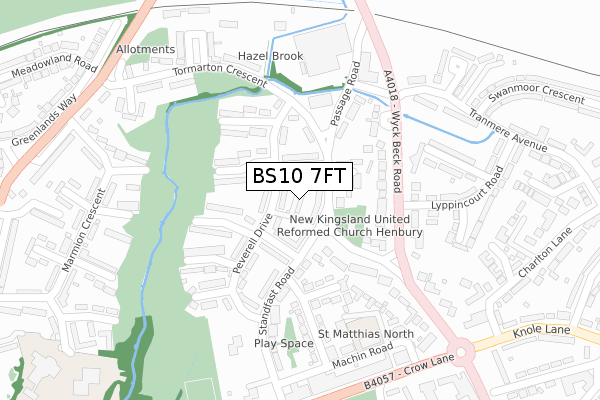
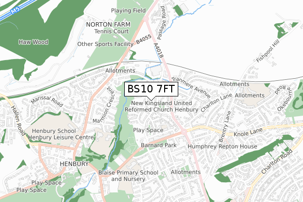
BS10 7FT is located in the Henbury and Brentry electoral ward, within the unitary authority of Bristol, City of and the English Parliamentary constituency of Bristol North West. The Sub Integrated Care Board (ICB) Location is NHS Bristol, North Somerset and South Gloucestershire ICB - 15C and the police force is Avon and Somerset. This postcode has been in use since May 2018.


GetTheData
Source: OS Open Zoomstack (Ordnance Survey)
Licence: Open Government Licence (requires attribution)
Attribution: Contains OS data © Crown copyright and database right 2025
Source: Open Postcode Geo
Licence: Open Government Licence (requires attribution)
Attribution: Contains OS data © Crown copyright and database right 2025; Contains Royal Mail data © Royal Mail copyright and database right 2025; Source: Office for National Statistics licensed under the Open Government Licence v.3.0
| Easting | 356936 |
| Northing | 179420 |
| Latitude | 51.512053 |
| Longitude | -2.621948 |
GetTheData
Source: Open Postcode Geo
Licence: Open Government Licence
| Country | England |
| Postcode District | BS10 |
➜ See where BS10 is on a map ➜ Where is Bristol? | |
GetTheData
Source: Land Registry Price Paid Data
Licence: Open Government Licence
| Ward | Henbury And Brentry |
| Constituency | Bristol North West |
GetTheData
Source: ONS Postcode Database
Licence: Open Government Licence
| Lyppincourt Road (Wyck Beck Road) | Brentry | 186m |
| Lyppincourt Road (Wyck Beck Road) | Brentry | 196m |
| Brentry Roundabout (Crow Lane) | Brentry | 324m |
| Brentry Roundabout (Crow Lane) | Brentry | 340m |
| Crow Lane Lay-by (Crow Lane) | Henbury | 389m |
| Sea Mills Station | 4.1km |
| Filton Abbey Wood Station | 4.2km |
| Patchway Station | 4.4km |
GetTheData
Source: NaPTAN
Licence: Open Government Licence
| Percentage of properties with Next Generation Access | 100.0% |
| Percentage of properties with Superfast Broadband | 100.0% |
| Percentage of properties with Ultrafast Broadband | 0.0% |
| Percentage of properties with Full Fibre Broadband | 0.0% |
Superfast Broadband is between 30Mbps and 300Mbps
Ultrafast Broadband is > 300Mbps
| Percentage of properties unable to receive 2Mbps | 0.0% |
| Percentage of properties unable to receive 5Mbps | 0.0% |
| Percentage of properties unable to receive 10Mbps | 0.0% |
| Percentage of properties unable to receive 30Mbps | 0.0% |
GetTheData
Source: Ofcom
Licence: Ofcom Terms of Use (requires attribution)
GetTheData
Source: ONS Postcode Database
Licence: Open Government Licence


➜ Get more ratings from the Food Standards Agency
GetTheData
Source: Food Standards Agency
Licence: FSA terms & conditions
| Last Collection | |||
|---|---|---|---|
| Location | Mon-Fri | Sat | Distance |
| Peverell Drive | 16:30 | 10:45 | 148m |
| Standfast Road | 16:30 | 10:45 | 359m |
| Brentry Post Office | 17:00 | 10:45 | 514m |
GetTheData
Source: Dracos
Licence: Creative Commons Attribution-ShareAlike
The below table lists the International Territorial Level (ITL) codes (formerly Nomenclature of Territorial Units for Statistics (NUTS) codes) and Local Administrative Units (LAU) codes for BS10 7FT:
| ITL 1 Code | Name |
|---|---|
| TLK | South West (England) |
| ITL 2 Code | Name |
| TLK1 | Gloucestershire, Wiltshire and Bath/Bristol area |
| ITL 3 Code | Name |
| TLK11 | Bristol, City of |
| LAU 1 Code | Name |
| E06000023 | Bristol, City of |
GetTheData
Source: ONS Postcode Directory
Licence: Open Government Licence
The below table lists the Census Output Area (OA), Lower Layer Super Output Area (LSOA), and Middle Layer Super Output Area (MSOA) for BS10 7FT:
| Code | Name | |
|---|---|---|
| OA | E00073764 | |
| LSOA | E01014605 | Bristol 001E |
| MSOA | E02003012 | Bristol 001 |
GetTheData
Source: ONS Postcode Directory
Licence: Open Government Licence
| BS10 7HY | Passage Road | 31m |
| BS10 7LG | Peverell Drive | 32m |
| BS10 7LQ | Fitchett Walk | 72m |
| BS10 7HU | Standfast Road | 110m |
| BS10 7HZ | Passage Road | 110m |
| BS10 7LE | Peverell Close | 124m |
| BS10 7LH | Bickerton Close | 126m |
| BS10 7LJ | Peverell Drive | 135m |
| BS10 7HH | Machin Close | 141m |
| BS10 7HT | Standfast Road | 147m |
GetTheData
Source: Open Postcode Geo; Land Registry Price Paid Data
Licence: Open Government Licence