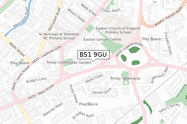
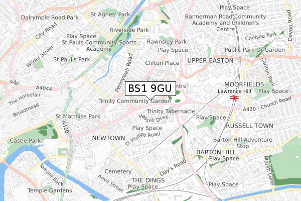
BS1 9GU is located in the Lawrence Hill electoral ward, within the unitary authority of Bristol, City of and the English Parliamentary constituency of Bristol West. The Sub Integrated Care Board (ICB) Location is NHS Bristol, North Somerset and South Gloucestershire ICB - 15C and the police force is Avon and Somerset. This postcode has been in use since April 2019.


GetTheData
Source: OS Open Zoomstack (Ordnance Survey)
Licence: Open Government Licence (requires attribution)
Attribution: Contains OS data © Crown copyright and database right 2025
Source: Open Postcode Geo
Licence: Open Government Licence (requires attribution)
Attribution: Contains OS data © Crown copyright and database right 2025; Contains Royal Mail data © Royal Mail copyright and database right 2025; Source: Office for National Statistics licensed under the Open Government Licence v.3.0
| Easting | 360205 |
| Northing | 173432 |
| Latitude | 51.458456 |
| Longitude | -2.574166 |
GetTheData
Source: Open Postcode Geo
Licence: Open Government Licence
| Country | England |
| Postcode District | BS1 |
➜ See where BS1 is on a map ➜ Where is Bristol? | |
GetTheData
Source: Land Registry Price Paid Data
Licence: Open Government Licence
| Ward | Lawrence Hill |
| Constituency | Bristol West |
GetTheData
Source: ONS Postcode Database
Licence: Open Government Licence
| Easton Road | Easton | 82m |
| Easton Road (Lawrence Hill) | Easton | 85m |
| Thrissell Street (Stapleton Road) | Easton | 178m |
| Thrissell Street (Stapleton Road) | Easton | 214m |
| West Street | Old Market | 289m |
| Lawrence Hill Station | 0.7km |
| Stapleton Road Station | 1.1km |
| Bristol Temple Meads Station | 1.1km |
GetTheData
Source: NaPTAN
Licence: Open Government Licence
GetTheData
Source: ONS Postcode Database
Licence: Open Government Licence


➜ Get more ratings from the Food Standards Agency
GetTheData
Source: Food Standards Agency
Licence: FSA terms & conditions
| Last Collection | |||
|---|---|---|---|
| Location | Mon-Fri | Sat | Distance |
| City Business Park | 18:30 | 28m | |
| City Delivery Office | 18:30 | 12:00 | 34m |
| Trinity Street | 17:00 | 12:15 | 167m |
GetTheData
Source: Dracos
Licence: Creative Commons Attribution-ShareAlike
The below table lists the International Territorial Level (ITL) codes (formerly Nomenclature of Territorial Units for Statistics (NUTS) codes) and Local Administrative Units (LAU) codes for BS1 9GU:
| ITL 1 Code | Name |
|---|---|
| TLK | South West (England) |
| ITL 2 Code | Name |
| TLK1 | Gloucestershire, Wiltshire and Bath/Bristol area |
| ITL 3 Code | Name |
| TLK11 | Bristol, City of |
| LAU 1 Code | Name |
| E06000023 | Bristol, City of |
GetTheData
Source: ONS Postcode Directory
Licence: Open Government Licence
The below table lists the Census Output Area (OA), Lower Layer Super Output Area (LSOA), and Middle Layer Super Output Area (MSOA) for BS1 9GU:
| Code | Name | |
|---|---|---|
| OA | E00174282 | |
| LSOA | E01033358 | Bristol 054D |
| MSOA | E02006887 | Bristol 054 |
GetTheData
Source: ONS Postcode Directory
Licence: Open Government Licence
| BS2 0NR | Clarence Road | 41m |
| BS5 0BY | Lawrence Hill | 75m |
| BS2 0AG | Hayes Close | 77m |
| BS2 0AS | Hayes Close | 91m |
| BS2 0AR | Hayes Close | 113m |
| BS2 0AQ | Hassell Drive | 136m |
| BS2 0AP | Hassell Drive | 145m |
| BS2 0AW | Hassell Drive | 153m |
| BS2 0NW | Trinity Road | 157m |
| BS2 0AH | Hassell Drive | 159m |
GetTheData
Source: Open Postcode Geo; Land Registry Price Paid Data
Licence: Open Government Licence